 placenames
Connswater
Abhainn Choinn
Rope-making shaped this part of east Belfast, while the river’s changing condition links Victorian public-health concerns with the modern greenway.
The name
These Irish name elements are associated with this record in the Logainm glossary.
An element’s translation is a clue, rather than a complete explanation of the name. Its form and meaning depend on local history and the full Irish name.
Recorded forms
- Abhainn Choinn · Irish · main form · validated name
- Connswater · English · main form
Place & story
Rope, twine and fishing lines
An 1899 illustrated publication about the Belfast Ropework Company survives in the National Library of Ireland. Its catalogue describes a business with separate departments at Pottinger, Bloomfield and Connswater mills. Connswater produced binder and trawl twine, part of an output ranging from heavy ships’ cables to fine fishing lines. The record gives a workforce of about 3,000, with customers far beyond Belfast, showing the scale of the local cordage industry. [2]
Pollution reaches Parliament
On 15 September 1893 Thomas Sexton raised the condition of the Connswater in the House of Commons. He described sewage pollution and hot liquid discharged by distilleries and ropeworks as a danger to public health. Chief Secretary John Morley accepted the complaint’s substance. He replied that local sanitary authorities had agreed to clean the river and that a loan had been approved for a scheme to intercept the sewage entering it. [3]
Con O’Neill’s bridge: tradition and evidence
The small stone footbridge near Abetta Parade is traditionally associated with Con O’Neill and the route to his Castlereagh stronghold. The official building survey treats that early date cautiously: the bridge is absent from nineteenth-century maps until 1901. Its shallow arch and cobbled surface may instead belong to a garden structure from the later nineteenth century, when the site lay within the Elm Grove grounds. The association survives as local tradition. [4]
A new river landscape
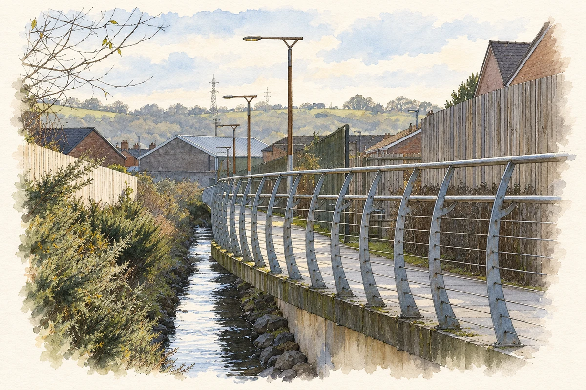
Completed in 2017, the Connswater Community Greenway combined a nine-kilometre linear park with flood-alleviation works along the Connswater, Knock and Loop rivers. The project followed a history of serious flooding, including the 2007 event that affected about 340 properties. New paths, crossings, restored river corridors and connected green spaces changed access through east Belfast. The scheme also provided flood protection for around 1,700 properties. [5]
Geographic information
- Place type
- Population centre
- County
- Down
- Barony
- Castlereagh Lower
- Civil parish
- Holywood
- Civil parish
- Knockbreda
- Coordinates
- 54.59748, -5.89332
- Logainm ID
- 130066 ↗
Sources & further reading
- Logainm.ie — Connswater. Place names and geographic record, licensed under CC BY 4.0.
- The Belfast Ropework Company Ltd, 1899: catalogue description · National Library of Ireland
- Connswater River: House of Commons debate, 15 September1893, vol17 c1293 · UK Parliament
- Con O’Neill Bridge: HB26/10/005 historic building survey · Department for Communities, Northern Ireland
- Connswater Community Greenway engineering project · Institution of Civil Engineers
- Raised walkway on Connswater Greenway, Loop River illustration: based on a The Connswater Greenway, Belfast by Rossographer. AI-assisted watercolour and ink adaptation; cream paper margins added, incidental clutter omitted and fine details simplified. Licence: CC BY-SA 2.0.
Name record retrieved 2026-10-25 · Source record modified 2025-03-11. How this page was prepared.