 placenames
Drumaroad
Droim an Róid
Patrick J. Clarke’s local research records Drumaroad’s school rebuilding, water-powered industry and twentieth-century church tower.
The name
These Irish name elements are associated with this record in the Logainm glossary.
An element’s translation is a clue, rather than a complete explanation of the name. Its form and meaning depend on local history and the full Irish name.
Recorded forms
- Droim an Róid · Irish · main form · validated name
- Drumaroad · English · main form
Place & story
A replacement school
Drumaroad’s earlier school occupied the church grounds in the 1850s. Clarke’s study records a replacement built by Leneghan Brothers of Belfast, whose family came from nearby Drumnaquoile. The new school was already being used in March 1902, before all work was completed that June. [2]
Milling with seasonal water
The study’s mill chapter identifies Hugh Shaw’s corn and flax mills, supplied by the stream that becomes the Moneycarragh River. It records a flax mill built in 1827 and a corn mill in 1834. Insufficient summer water limited their working seasons. [2]
The tower of 1954
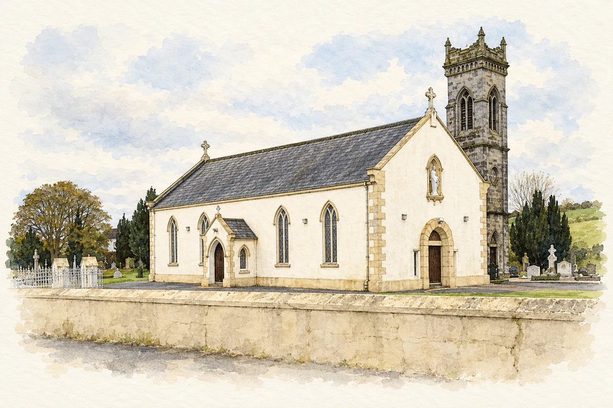
Saint John the Baptist’s new bell tower was blessed on 9 May 1954. Clarke records its stone-block construction and illustrates the dated doorway stone. His account names Belfast architects Bready and Kilpatrick and contractor J. Branniff among those thanked for the work. [2]
Geographic information
- Place type
- Population centre
- County
- Down
- Barony
- Kinelarty
- Civil parish
- Loughinisland
- Coordinates
- 54.31725, -5.89442 (approximate)
- Logainm ID
- 130081 ↗
Sources & further reading
- Logainm.ie — Drumaroad. Place names and geographic record, licensed under CC BY 4.0.
- History of a County Down Townland: Drumaroad (2004), school, mill and bell-tower chapters · Patrick J. Clarke; Patrick Clarke Publishing
- Saint John the Baptist Chapel, Drumaroad, as photographed in2015 illustration: based on a St John the Baptist Catholic Chapel, Drumaroad by Eric Jones. AI-assisted watercolour and ink adaptation; cream paper margins added, incidental clutter omitted and fine details simplified. Licence: CC BY-SA 2.0.
Name record retrieved 2026-10-25 · Source record modified 2019-10-08. How this page was prepared.