 placenames
Helen's Bay
Cuan Héilin
Railway architecture, coastguard cottages and a coastal battery reveal different ambitions for this sheltered stretch of the Down coast.
The name
These Irish name elements are associated with this record in the Logainm glossary.
An element’s translation is a clue, rather than a complete explanation of the name. Its form and meaning depend on local history and the full Irish name.
Recorded forms
- Cuan Héilin · Irish · main form · validated name
- Helen's Bay · English · main form
Place & story
Lady Helen’s name and a resort plan
Helen’s Bay was named for Helen, Lady Dufferin, mother of the first Marquess of Dufferin and Ava. Its nineteenth-century development followed the railway and the estate owner’s ambition to create a fashionable seaside resort. The planned village brought together transport, accommodation and access to the shore. Its history is therefore closely linked to Clandeboye’s estate landscape, even though its later growth gave it a character distinct from nearby Crawfordsburn. [2]
A railway bridge designed for the estate
The railway bridge beside Helen’s Bay station carries the line over Clandeboye Avenue. Benjamin Ferrey designed it in Scottish Baronial style, using dark stone, sandstone dressings, turrets and the Dufferin coat of arms. The official building record explains that Lord Dufferin required the station complex’s design as a condition of allowing the railway through his land. The bridge was built around 1862, before the Holywood–Bangor section opened in May 1865. [3]
The coastguard cottages
The red-brick coastguard cottages west of the bay were built in 1856 under Lord Dufferin’s patronage and the supervision of estate agent Mortimer Thomson. Decorative tile patterns and gables give these working buildings an unusually elaborate appearance. Their early role centred on preventing smuggling, though crews also undertook rescues. The historic building record documents the local coastguard helping the schooner Clans of Chester when it stranded in Helen’s Bay in 1893. [4]
Grey Point Fort
Grey Point Fort was constructed in 1904–07 to defend the entrance to Belfast Lough. Queen’s University Belfast’s 2014 excavations identified subsequent strengthening around the First World War and another phase of defensive work in the 1930s. The fort’s military importance diminished from 1943, and it was abandoned after 1956 before incorporation into Crawfordsburn Country Park in 1971. Community participants joined archaeologists in investigating its perimeter and searchlight defences, adding field evidence to the surviving military structures. [5]
Geographic information
- Place type
- Town
- County
- Down
- Barony
- Castlereagh Lower
- Civil parish
- Bangor
- Coordinates
- 54.67386, -5.73644 (approximate)
- Logainm ID
- 130097 ↗
Sources & further reading
- Logainm.ie — Helen's Bay. Place names and geographic record, licensed under CC BY 4.0.
- Helen’s Bay village: roots founded by the Dufferin family · Ards and North Down Borough Council
- Helen’s Bay railway bridge, HB 23/15/039 D · Department for Communities, Historic Environment Division
- Coastguard cottages, Helen’s Bay, HB 23/15/044 H · Department for Communities, Historic Environment Division
- Grey Point Fort: 2014 community excavation · Centre for Community Archaeology, Queen’s University Belfast
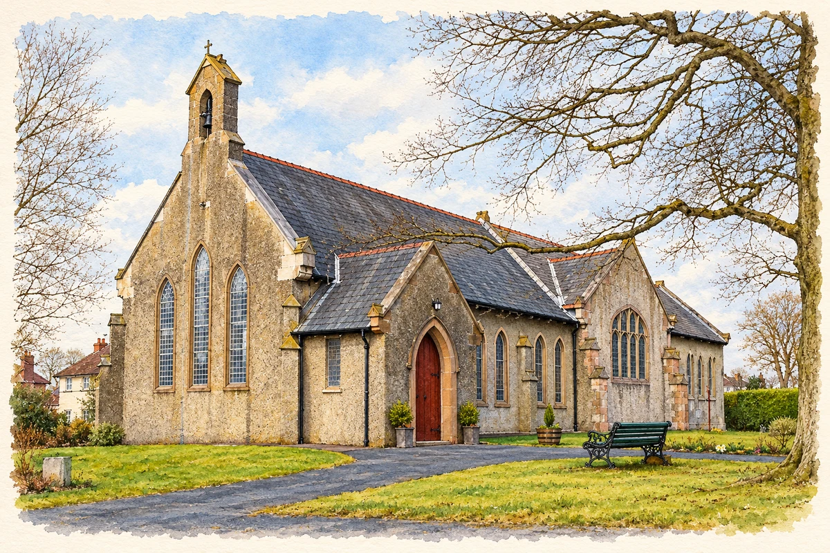
- St John Baptist Church, Helen’s Bay illustration: based on a Church of St John Baptist, Helen's Bay by Rossographer. AI-assisted watercolour and ink adaptation; cream paper margins added, incidental clutter omitted and fine details simplified. Licence: CC BY-SA 2.0; adapted illustration distributed under the same licence.
Name record retrieved 2026-10-25 · Source record modified 2019-10-08. How this page was prepared.