 placenames
Ballylar
Baile Láir
Ballylar, also recorded as Magheradrumman, has a local history traced through schooling and postal services beside one of north Fanad’s coastal lakes.
The name
These Irish name elements are associated with this record in the Logainm glossary.
An element’s translation is a clue, rather than a complete explanation of the name. Its form and meaning depend on local history and the full Irish name.
Recorded forms
- Baile Láir · Irish · main form · validated name
- Ballylar · English · main form · local name
- Magheradrumman · English · main form
Place & story
A school joins its neighbours
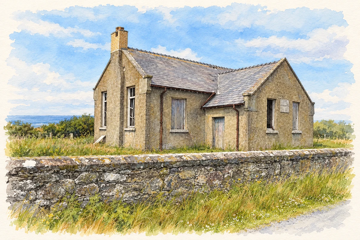
Ballylar once had its own national school. Scoil Mhuire Caiseal records that Ballylar and Ballymichael schools amalgamated with it in 1972, when three prefabricated classrooms were added to accommodate the change. The receiving school had opened in 1956. Its account places Ballylar within the reorganisation of education in north Fanad, with Irish retained as the principal language of the Gaeltacht school. [2]
A family post office since 1873
The McElwaine family’s connection with Ballylar Post Office began in 1873. In an August 2025 interview, the operators explained their decision to give up the service after eighteen years running it themselves, citing its financial viability. The impending closure drew attention to the office’s social role as well as its postal business: it was a place for local people to meet while collecting pensions or carrying out transactions. [3]
The lake beside the settlement
Nearby Magheradrumman Lough is identified in the wildlife service’s 2017 conservation objectives as a hard-water lake supporting submerged stonewort vegetation. The report explains the unusual setting: granite and quartzite bedrock meet calcium-rich windblown sand, producing contrasting lake habitats along this coast. The lough is therefore more than a scenic backdrop; its water chemistry and plants form part of Fanad’s distinctive natural heritage. [4]
Geographic information
- Place type
- Population centre
- County
- Donegal
- Barony
- Kilmacrenan
- Civil parish
- Clondavaddog
- Within
- Fanad North
- Within
- Magheradrumman
- Coordinates
- 55.26053, -7.66967 (approximate)
- Logainm ID
- 130309 ↗
Sources & further reading
- Logainm.ie — Ballylar. Place names and geographic record, licensed under CC BY 4.0.
- Our school: amalgamation with Ballylar National School · Scoil Mhuire Caiseal
- Rural decline: Last of Fanad’s post offices to close, 27 August 2025 · Maria Maynes
- Conservation Objectives: Ballyhoorisky Point to Fanad Head SAC 001975, version 1, 2017 · National Parks and Wildlife Service
- Former Ballymichael National School, near Ballylar illustration: based on a Ballymichael National School by Kenneth Allen. AI-assisted watercolour and ink adaptation; cream paper margins added, incidental clutter omitted and fine details simplified. Licence: CC BY-SA 2.0.
Name record retrieved 2026-10-25 · Source record modified 2025-01-10. How this page was prepared.