 placenames
Attymon
Áth Tíomáin
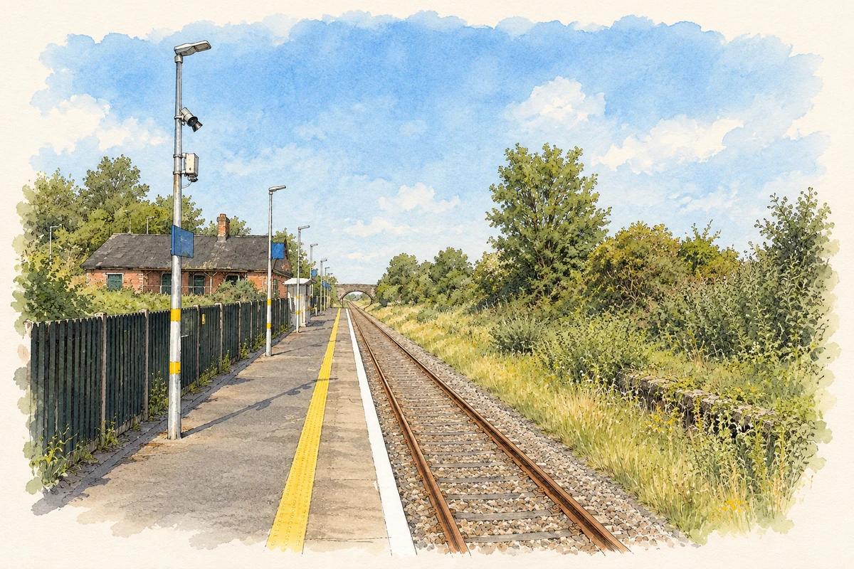
Attymon’s railway buildings preserve the scale of a junction where the Loughrea branch once met the Dublin–Galway line.
The name
These Irish name elements are associated with this record in the Logainm glossary.
An element’s translation is a clue, rather than a complete explanation of the name. Its form and meaning depend on local history and the full Irish name.
Recorded forms
- Áth Tíomáin · Irish · main form · non-validated name
- Attymon · English · main form
Place & story
The station and its veranda
Attymon's former station building dates from around 1890, when the Midland Great Western Railway developed the branch towards Dunsandle and Loughrea. The architectural inventory records a five-bay, single-storey building in red brick, with darker brick around its openings. Its trackside veranda is formed by the projecting roof, carried on cast-iron posts resting on stone bases. These details gave a small rural station a distinctive architectural identity. [2]
Buildings for goods and passengers
The passenger building belonged to a larger working group. A separate goods shed stood west of it, north of the railway, with red-brick walls, iron ties and arched openings. The architectural survey also recorded the remains of the branch platform. Taken together, the station, shed, platform and nearby railway bridge preserve evidence of different kinds of traffic converging here, rather than a stopping place designed only for passengers. [2]
The end of the branch line
The Loughrea branch closed in 1975 after serving the junction for much of the twentieth century. Railway photographer Ciarán Cooney's illustrated account records the former loop, sidings and turntable, along with the later removal of infrastructure. The branch track survived into the 1980s, but a proposed preservation railway did not materialise. The footbridge and signal cabin were demolished in 1989, leaving a much reduced station on the continuing main line. [3]
Geographic information
- Place type
- Population centre
- County
- Galway
- Barony
- Tiaquin
- Civil parish
- Killimordaly
- Coordinates
- 53.32768, -8.61542 (approximate)
- Logainm ID
- 130906 ↗
Sources & further reading
- Logainm.ie — Attymon. Place names and geographic record, licensed under CC BY 4.0.
- Attymon Railway Station, registration30408504 · National Inventory of Architectural Heritage
- Attymon: photographic record and station history · Ciarán Cooney, Eiretrains
- Attymon railway station, County Galway illustration: based on a Attymon railway station, County Galway by Nigel Thompson. AI-assisted watercolour and ink adaptation; cream paper margins added, incidental clutter omitted and fine details simplified. Licence: CC BY-SA 2.0.

Name record retrieved 2026-10-25 · Source record modified 2025-01-10. How this page was prepared.