 placenames
Bunclody
Bun Clóidí
Bunclody’s Mall and Market Square preserve its planned estate-town form. Archaeological work beneath the roads reveals later improvements, while parish and sporting records trace the people using those streets.
The name
These Irish name elements are associated with this record in the Logainm glossary.
An element’s translation is a clue, rather than a complete explanation of the name. Its form and meaning depend on local history and the full Irish name.
Recorded forms
- Bun Clóidí · Irish · main form · validated name
- Bunclody · English · main form
Place & story
The Mall and Market Square
Bunclody developed as a planned estate town under the Maxwell-Barry family in the later eighteenth century. Its formal core follows the Mall and Market Square, with tall townhouses, mature trees and the stream running down the centre of the street. Wexford County Council contrasts this planned area with the simpler buildings on Irish Street, Church Street and Ryland Road. The townscape therefore combines a deliberately composed estate centre with more modest streets extending towards the surrounding rural district. [2]
Cobbles and culverts below the roads
Archaeologist Mary Henry monitored sewer works in Bunclody in 2009. Excavation exposed ten culverts, interpreted as evidence of a coordinated Victorian drainage programme. Irish Street retained two layers of an earlier cobbled road below the modern surface. Their level, together with a deeper drain, suggested that the street had been raised to ease the gradient towards higher ground. These discoveries document practical changes to the town’s infrastructure that are largely hidden beneath its surviving streetscape. [3]
Saint Mary’s and the parish records
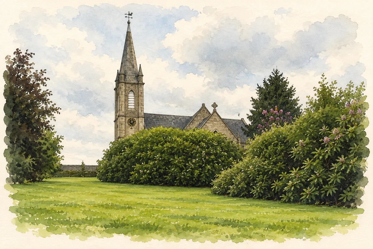
The Church of Ireland parish of Newtownbarry was created in May 1776 from townlands formerly in Templeshanbo. Saint Mary’s had been built in the preceding years with support from the Maxwell family, following a grant of churchyard land in 1770. Its baptism, marriage and burial registers begin in 1799. The Representative Church Body Library’s account of their transcription explains how these records preserve a continuous history of local Church of Ireland families under the town’s former name. [4]
Nicky Rackard’s support for local soccer
Bunclody AFC was established in 1969 by local youth-club members with the help of curate Aidan Jones. The club remembers Wexford hurler Nicky Rackard as an early supporter and sponsor who attended training and matches. That is a specific local association across sporting codes, rather than a claim that he was born in the town. The club later played in Carrickduff before developing facilities on Church Road in 2000, extending a community sporting venture begun three decades earlier. [5]
Geographic information
- Place type
- Town
- County
- Wexford
- Barony
- Scarawalsh
- Civil parish
- Saint Mary's Newtownbarry
- Coordinates
- 52.65468, -6.64938
- Logainm ID
- 131824 ↗
Sources & further reading
- Logainm.ie — Bunclody. Place names and geographic record, licensed under CC BY 4.0.
- Bunclody Town Settlement Plan: urban structure and character · Wexford County Council
- 2009:841 — Newtownbarry and Ryland Upper, Bunclody · Mary Henry / Excavations.ie
- The registers of Newtownbarry (Bunclody) Union transcribed and indexed · Representative Church Body Library
- Bunclody AFC: Club History · Bunclody AFC
- St Mary's Church, Bunclody illustration: based on a Saint Mary's, Bunclody by liam murphy. AI-assisted watercolour and ink adaptation; cream paper margins added, incidental clutter omitted and fine details simplified. Licence: CC BY-SA 2.0; adapted illustration distributed under the same licence.
Name record retrieved 2026-10-25 · Source record modified 2025-01-10. How this page was prepared.