 placenames
Blackrock
Na Creagacha Dubha
The shore of Dundalk Bay shaped Blackrock’s development as a resort and the public art that now recalls its community history.
The name
These Irish name elements are associated with this record in the Logainm glossary.
An element’s translation is a clue, rather than a complete explanation of the name. Its form and meaning depend on local history and the full Irish name.
Recorded forms
- Na Creagacha Dubha · Irish · main form · validated name
- Blackrock · English · main form
Place & story
Summer visitors in 1837
Blackrock was already drawing summer visitors when Samuel Lewis described it in 1837. He counted approximately eighty houses and 434 inhabitants, and noted that farmers from inland counties came to bathe and drink seawater. He considered the beach suitable for a more developed bathing resort, provided better accommodation became available. His account places a marine villa belonging to Alexander Shekelton beside this small settlement in Haggardstown parish, recording both permanent residents and the beginnings of a seasonal visitor economy. [2]
Making the seafront
The promenade created in the 1850s originally had two walls, with a walkway between them. They offered a place to stroll while helping protect the village against high tides. The landward wall was removed in the 1950s to accommodate parked cars, and the seaward side was rebuilt with a broad concrete seat. Another generation of improvements followed in 2001, after the Millennium Sundial had established a new focal point beside the beach. [3]
Remembering work on the shore
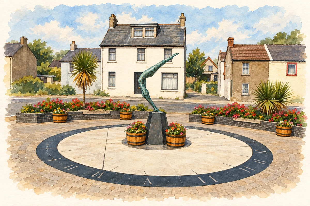
The Millennium Sundial, unveiled in 2000, incorporates Tanya Elliott Nyegaard’s bronze sculpture Aisling. A time capsule containing local photographs and documents was buried in its foundations. A later work, Micheál McKeown’s Cocklepickers, arrived on the promenade in December 2018. Its two woven stainless-steel figures stand on a concrete surface modelled on the beach. Together the works connect a public celebration of the millennium with the older labour of gathering shellfish from Dundalk Bay. [3]
Geographic information
- Place type
- Population centre
- County
- Louth
- Barony
- Dundalk Upper
- Civil parish
- Haggardstown
- Coordinates
- 53.96517, -6.36943 (approximate)
- Logainm ID
- 132304 ↗
Sources & further reading
- Logainm.ie — Blackrock. Place names and geographic record, licensed under CC BY 4.0.
- Blackrock, Upper Dundalk, A Topographical Dictionary of Ireland1837 · Samuel Lewis
- The Heritage of Blackrock · Blackrock Tidy Towns / Blackrock Village
- Millennium Sundial, Blackrock, County Louth illustration: based on a The Blackrock sundial, Co Louth by Albert Bridge. AI-assisted watercolour and ink adaptation; cream paper margins added, incidental clutter omitted and fine details simplified. Licence: CC BY-SA 2.0.
Name record retrieved 2026-10-25 · Source record modified 2026-09-19. How this page was prepared.