 placenames
Ravensdale
Gleann na bhFiach
Ravensdale’s courthouse, church and wooded slopes preserve traces of estate society and changing uses of the landscape.
The name
These Irish name elements are associated with this record in the Logainm glossary.
An element’s translation is a clue, rather than a complete explanation of the name. Its form and meaning depend on local history and the full Irish name.
Recorded forms
- Gleann na bhFiach · Irish · main form · validated name
- Ravensdale · English · main form
Place & story
The Fortescue estate
Ravensdale formed part of the extensive Clermont-Fortescue estate. The county archive's account records the union of two family branches' properties when Thomas Fortescue inherited the Clermont lands in 1833. His County Louth holdings later extended to about twenty thousand acres, concentrated around Ravensdale and Dromiskin. The estate's succession history helps explain why the village and surrounding woods appear within a much larger pattern of landownership stretching beyond the immediate valley. [2]
Saint Mary’s after Emancipation
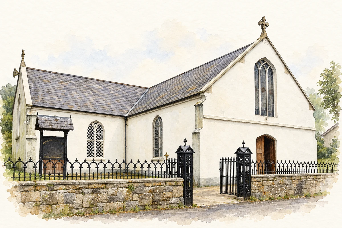
The conservation architects who studied Saint Mary's Church found diocesan records indicating that construction began in 1830, shortly after Catholic Emancipation. A new wing added in the 1860s changed the building to a T-shaped plan. Their 2015 conservation project examined both the building and its grounds to establish priorities for maintenance and repair. The church therefore preserves evidence of an early building campaign, later expansion and the modern work required to conserve that fabric. [3]
The former courthouse
Ravensdale's former courthouse dates from about 1850. Its compact two-storey building presents a classical pediment above the entrance front, with a coat of arms set within the triangular space. The modest size contrasts with the formality of its architectural treatment. As a local court building it brought public administration into the village; its surviving façade still communicates that function even after the court ceased using it. [4]
Roads and traces within the forest
Ravensdale Forest rises through mixed woodland towards Black Mountain. Coillte's account identifies old driving roads, bridges and standing stones among the features reached through its tracks. The Táin Trail passes through the forest and continues over the hills towards Omeath. Its name recalls the legendary cattle raid of Cooley, while the visible roads and crossings record more practical uses of this wooded landscape. The two kinds of association should be distinguished. [5]
Geographic information
Sources & further reading
- Logainm.ie — Ravensdale. Place names and geographic record, licensed under CC BY 4.0.
- The Clermont/Fortescue Estate · Louth County Archives / Cross Border Archives Project
- Conservation Management Plan, Saint Mary’s Church, Ravensdale, 15 July 2015 · Fergal McGirl Conservation Architects
- Ravensdale Courthouse, registration 13900427 · National Inventory of Architectural Heritage
- Ravensdale Forest: landscape and heritage features · Coillte
- Saint Mary's Catholic Church, Ravensdale, County Louth illustration: based on a St Mary's Catholic Church by Eric Jones. AI-assisted watercolour and ink adaptation; cream paper margins added, incidental clutter omitted and fine details simplified. Licence: CC BY-SA 2.0.
Name record retrieved 2026-10-25 · Source record modified 2010-04-19. How this page was prepared.