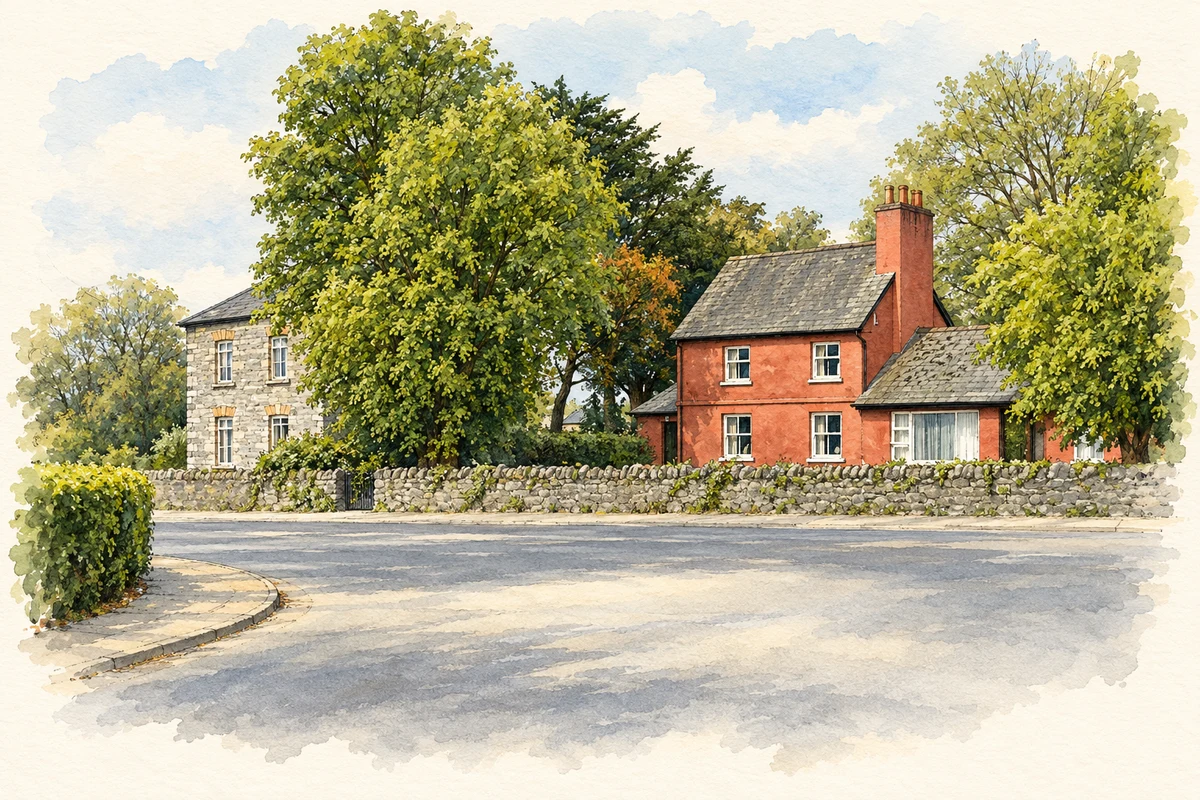
Clarina's history is closely tied to Elm Park and the Massey family. A surviving gate lodge and the neighbouring parish buildings preserve traces of the district's nineteenth-century landscape.
Illustration, former barracks and school at Clarina crossroads
⊕Recorded locationClarina52.63328° N · 8.72890° WInteractive map supplied by OpenStreetMap.
These Irish name elements are associated with this record in the Logainm glossary.
An element’s translation is a clue, rather than a complete explanation of the name. Its form and meaning depend on local history and the full Irish name.
Recorded forms
Clár Aidhne· Irish · main form · validated name
Clarina· English · main form
Place & story
Elm Park and the Lords Clarina
Elm Park was the seat of the Massey family, Barons Clarina. The third baron married Susan Elizabeth Barton and built a new house on the estate. By the 1870s the property extended to just over two thousand acres. It was sold in 1923, and the title ended with the death of the sixth baron in 1952. The family's connection with the place therefore lasted across several generations, from the early nineteenth-century house-building campaign into the changes in landownership that followed Irish independence.[2]
People & connections
Eyre Massey's military career
Eyre Massey, the first Baron Clarina of Elm Park, was born at Duntrileague in County Limerick in 1719. His long army career took him to the West Indies and North America, and he was wounded at Culloden. Later he commanded troops at Halifax and became governor of Limerick in 1797. He also represented Swords in the Irish parliament before receiving the Clarina title in 1800. His local association belongs to the history of the Elm Park estate, while his career linked that estate with the wider British military world.[3]
The lodge and the parish church
The gate lodge survives from the Elm Park demesne, although the principal house has been demolished. It marks the former entrance to the Massey estate. In the wider Clarina–Ballybrown district, Saint Joseph's Church dates from 1831 and was altered in 1898 to designs by William Edward Corbett. The community's heritage inventory records that the church was originally thatched. Rose Cottage, a house of about 1820 in Clarina village, adds a smaller domestic building to this group of nineteenth-century survivals.[4]
Both counts use the 2016 settlement boundary, allowing like-for-like comparison. CSO supplies the 2022 count on this older boundary for comparison only. The official 2022 Built Up Area has different boundaries.
View population figures
Clarina — Census 2016 settlement footprint — census population
These are the historical areas published in the 2006 census report. Boundaries may differ between censuses and from modern settlements. Legal towns, environs and suburbs are shown separately; none has been combined into a modern settlement total.
View population figures
Clarina, Limerick — Census town, CSO 2006 report — census population
These figures use different area definitions. Read the boundary note before comparing them.
Clarina, Limerick
Published census settlement populations
294people · 2016
Settlement boundaries changed during this period. Differences may reflect boundary changes as well as population change. Where a 2011 legal-town-and-environs count is shown, it has not been recalculated onto the 2016 settlement boundary.
Former barracks and school buildings at Clarina crossroads illustration: based on a Clarina Cross-Roads by Russ Davies. AI-assisted watercolour and ink adaptation; cream paper margins added, incidental clutter omitted and fine details simplified. Licence: CC BY-SA 2.0.
 placenames