 placenames
Newtown Cloghans
An Baile Úr
Named earthworks and two neighbouring burial grounds preserve different layers of the landscape around Newtown Cloghans.
The name
These Irish name elements are associated with this record in the Logainm glossary.
An element’s translation is a clue, rather than a complete explanation of the name. Its form and meaning depend on local history and the full Irish name.
Recorded forms
- An Baile Úr · Irish · main form · validated name
- Newtown Cloghans · English · main form
Place & story
Rathmweel’s enclosing banks
Rathmweel, in Newtown townland, is recorded on the 1838 and 1930 Ordnance Survey maps. The archaeological survey describes a roughly circular interior about 35 metres across, surrounded by three banks and two ditches. Its original entrance is uncertain, and later field boundaries incorporate part of the outer bank. [2]
The partly levelled Rathnashuppy
About a hundred metres west is Rathnashuppy. Its western bank survives, but the eastern half has been largely levelled and a field fence crosses the enclosure. The survey’s comparison of historic maps and surviving earthworks shows how agricultural changes have altered this older landscape. [3]
The newer Cloghans cemetery
Cloghans cemetery, also in Newtown townland, lies north of the older Kilbelfad graveyard. The archaeological record dates this newer burial ground to the twentieth century. A photographic headstone survey made in April 2011 recorded legible inscriptions reaching back to 1903; that is an observed inscription date, rather than a precise foundation date. [4] [5]
Geographic information
Sources & further reading
- Logainm.ie — Newtown Cloghans. Place names and geographic record, licensed under CC BY 4.0.
- Rathmweel, Newtown: SMR MA039-062----, original field description, 25 March 2020 · Jane O’Shaughnessy / Archaeological Survey of Ireland
- Rathnashuppy, Newtown: SMR MA039-061----, original field description, 25 March 2020 · Jane O’Shaughnessy / Archaeological Survey of Ireland
- Cloghans Burial Ground, Newtown: SMR MA039-064003-, 25 March 2020 · Jane O’Shaughnessy / Archaeological Survey of Ireland
- Cloghans Cemetery: location and April 2011 photographic survey · Golden and Langan cemetery survey
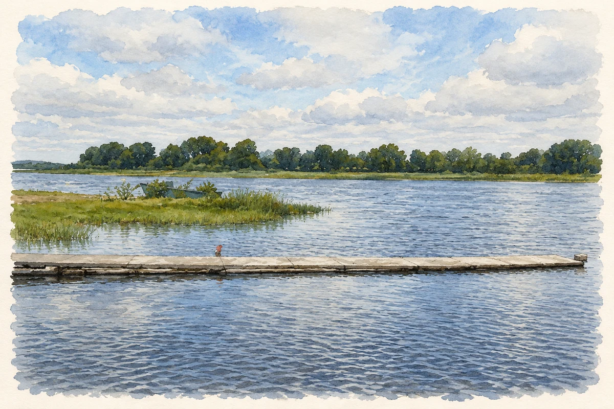
- Cloghans Pier on Lough Conn, near Newtown Cloghans, as photographed in June 2009 illustration: based on a Cloghan's Pier by Pamela Norrington. AI-assisted watercolour and ink adaptation; cream paper margins added, incidental clutter omitted and fine details simplified. Licence: CC BY-SA 2.0.
Name record retrieved 2026-10-25 · Source record modified 2025-01-10. How this page was prepared.