 placenames
Bohermeen
An Bóthar Mín
Bohermeen’s nineteenth-century village records and the history of Saint Ultan’s School connect a local educational institution with the Irish poet Peadar Dubh Ó Dálaigh.
The name
These Irish name elements are associated with this record in the Logainm glossary.
An element’s translation is a clue, rather than a complete explanation of the name. Its form and meaning depend on local history and the full Irish name.
Recorded forms
- An Bóthar Mín · Irish · main form · validated name
- Bohermeen · English · main form
Place & story
A village across two parishes
The Parliamentary Gazetteer of 1844–45 placed Bohermeen on the road from Navan to Kells, divided between the civil parishes of Martry and Ardbraccan. Its figures for 1841 counted 119 people in the Martry section and 712 in the Ardbraccan section. Nearby demesnes included Allanstown and Ardbraccan. The entry describes a substantial settlement within an estate landscape, while retaining the parish divisions used to enumerate its population. [2]
Peadar Dubh Ó Dálaigh at the school
A school opened in Bohermeen in January 1834 with support from a bequest by Father Branagan. Its first teacher was the Irish poet Peadar Dubh Ó Dálaigh, known in English as Black Peter Daly, from Woodpole near Carnaross. The school history records that he lived above the church vestry and taught only briefly in Bohermeen before moving to Athboy and eventually emigrating to Canada. [3]
Successive school buildings
The school erected in 1864 occupied the site later used by the culture centre. It was demolished after the present Saint Ultan's School opened in 1938, built by Maurice Flynn of Oldcastle under Father O'Keefe's direction. Three classrooms were added in 1990, followed by further extensions in 2008 and 2015. The school's own chronology records both the replacement of earlier premises and the continued enlargement of the twentieth-century building. [3]
Geographic information
- Place type
- Population centre
- County
- Meath
- Barony
- Navan Lower
- Civil parish
- Ardbraccan
- Civil parish
- Martry
- Coordinates
- 53.66476, -6.80473 (approximate)
- Logainm ID
- 133204 ↗
Sources & further reading
- Logainm.ie — Bohermeen. Place names and geographic record, licensed under CC BY 4.0.
- Bohermeen:Parliamentary Gazetteer of Ireland1844–45,volume1 · Parliamentary Gazetteer;transcribed by Navan and District Historical Society
- History of Bohermeen National School · Saint Ultan’s National School,Bohermeen
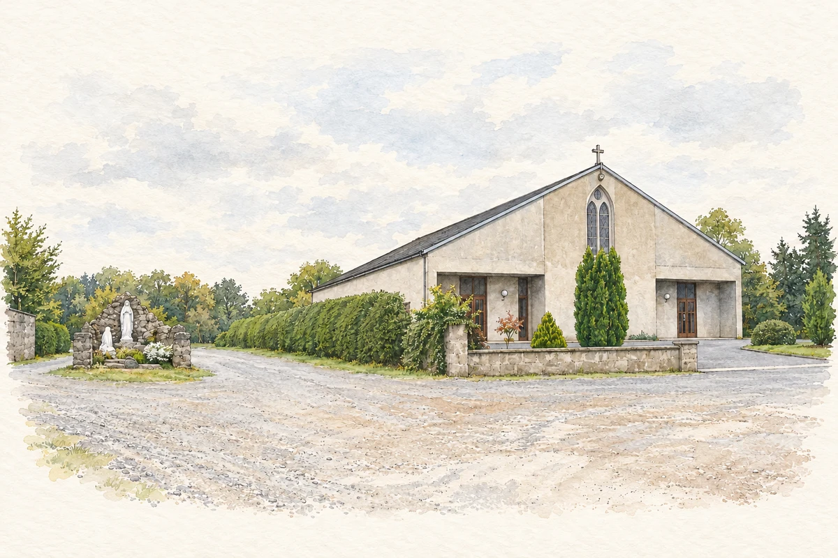
- Saint Ultan's Church and shrine, near Bohermeen illustration: based on a St. Ultan's Church & Shrine, Bohermeen, Co. Meath by JP. AI-assisted watercolour and ink adaptation; cream paper margins added, incidental clutter omitted and fine details simplified. Licence: CC BY-SA 2.0.
Name record retrieved 2026-10-25 · Source record modified 2025-01-10. How this page was prepared.