 placenames
Laytown
An Inse
Laytown's strand became a racecourse in the nineteenth century, with rowing and horse racing sharing the tides. Its timber station and nearby ecology centre preserve other distinctive connections between transport, landscape and local initiative.
The name
These Irish name elements are associated with this record in the Logainm glossary.
An element’s translation is a clue, rather than a complete explanation of the name. Its form and meaning depend on local history and the full Irish name.
Recorded forms
- An Inse · Irish · main form · validated name
- Laytown · English · main form
Place & story
The strand becomes a racecourse
Laytown's organisers date their meeting to 1868, when horse racing accompanied the Boyne Regatta. Rowing took place around high tide and the horses ran after the water receded, making the timetable depend on the sea. The 1875 programme even included a penny-farthing bicycle race. Charles Stewart Parnell was among the early stewards. Racing continued intermittently, with breaks during both world wars. The surviving meeting is held on the strand under the Rules of Racing, on a straight course with six- and seven-furlong races. The event turns an everyday coastal landscape into a temporary sporting arena. [2]
A station built in timber
Laytown's station building dates from about 1847. Its long, single-storey form is constructed in timber clapperboard on a stone base, with a slate roof and yellow-brick chimneys. Particularly distinctive is the way its wooden details imitate masonry: the window surrounds and horizontal banding reproduce features familiar from stone-built stations. Sash windows and panelled doors contribute to the building's character. The station, pedestrian bridge and stationmaster's house form an architectural group, recording the infrastructure which connected this stretch of coast with larger towns and the capital. [3]
Environmental education at Sonairte
Sonairte was founded as a charity in 1988 by local residents and environmentalists. Located in a historic farm complex beside the River Nanny near Laytown, it developed as an educational centre for ecology and sustainable living. Its founders drew on models including the Centre for Alternative Technology in Wales and the organisation now known as Garden Organic. Organic certification began in 1988, alongside the teaching of horticulture and other environmental subjects. A courtyard commemorates environmental activist Fernando Pereira, connecting the local project with an international movement as well as its riverside setting. [4]
Geographic information
- Place type
- Town
- County
- Meath
- Barony
- Duleek Lower
- Civil parish
- Julianstown
- Coordinates
- 53.70993, -6.26671
- Logainm ID
- 133207 ↗
Sources & further reading
- Logainm.ie — Laytown. Place names and geographic record, licensed under CC BY 4.0.
- About Us: History of the Laytown Races · Laytown Races organisers
- Laytown Railway Station,14319001 · National Inventory of Architectural Heritage
- About Sonairte · Sonairte
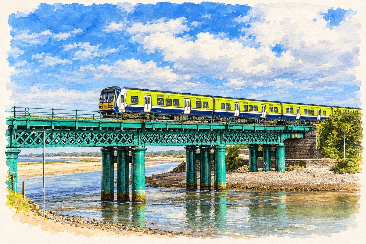
- Laytown railway viaduct over the River Nanny illustration: based on a County Meath - Laytown Viaduct - 20180830171507 by Offdaw. AI-assisted watercolour and ink adaptation; cream paper margins added, incidental clutter omitted and fine details simplified. Licence: CC BY-SA 4.0.

Name record retrieved 2026-10-25 · Source record modified 2025-01-10. How this page was prepared.