 placenames
Broomfield
Achadh an Bhrúim
A Brackagh settlement whose house, parish records and adapted Presbyterian church preserve several layers of local history.
The name
These Irish name elements are associated with this record in the Logainm glossary.
An element’s translation is a clue, rather than a complete explanation of the name. Its form and meaning depend on local history and the full Irish name.
Recorded forms
- Achadh an Bhrúim · Irish · main form · validated name
- Broomfield · English · main form
Place & story
A house that became a rectory
Broomfield House in Brackagh stood on the Marquess of Bath’s estate. Lewis and the Ordnance Survey name books recorded W. Henry there in the 1830s. By the time of Griffith’s Valuation, around 1860, the Reverend A.W. Campbell occupied it. The 1908 Ordnance Survey map labelled it a rectory, preserving a later institutional role for a house whose outline had changed since the first survey. [2]
A new parish and surviving records
The Church of Ireland parish of Broomfield was formed in 1843 from northern Donaghmoyne and part of Clontibret. Its church opened for worship in 1845. The Representative Church Body Library holds vestry minutes containing the founding documents and an undated specification for a sexton’s house and schoolhouse. Some earlier baptism and burial registers were lost in the 1922 Public Record Office fire; later registers preserve other parts of parish life. [3]
The Presbyterian church’s later use
The former Presbyterian church in Brackagh bears a plaque dating its construction to 1842. Its pointed windows retain timber tracery, and a king-post roof remains visible inside. By the 2012 architectural survey it had been adapted as a craft and coffee shop, with a new rear extension and internal gallery. The graveyard continued to mark its religious history even after the building acquired a different use. [4]
Geographic information
- Place type
- Population centre
- County
- Monaghan
- Barony
- Farney
- Civil parish
- Donaghmoyne
- Within
- Broomfield
- Within
- Brackagh
- Coordinates
- 54.06806, -6.70151 (approximate)
- Logainm ID
- 133509 ↗
Sources & further reading
- Logainm.ie — Broomfield. Place names and geographic record, licensed under CC BY 4.0.
- Broomfield: property 5292 · University of Galway, Landed Estates
- Records of Broomfield parish, P.1213,26 November 2021 · Representative Church Body Library
- Broomfield Presbyterian Church: record 41402510 · National Inventory of Architectural Heritage
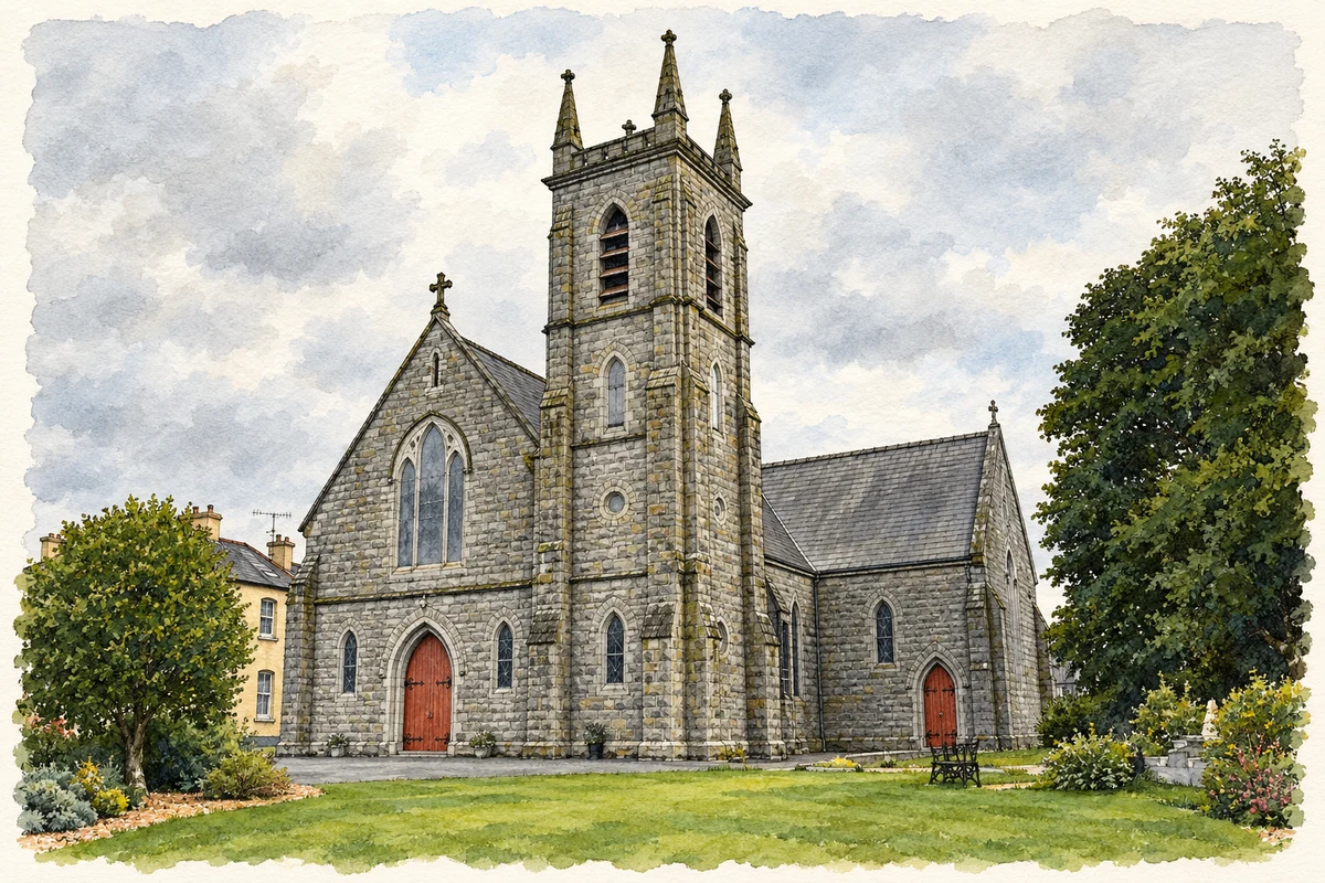
- St Patrick's Church, Broomfield, County Monaghan illustration: based on a Photograph of St Patrick's Church, Broomfield by Brian Lenehan. AI-assisted watercolour and ink adaptation; cream paper margins added, incidental clutter omitted and fine details simplified. Licence: CC BY-SA 2.0.
Name record retrieved 2026-10-25 · Source record modified 2020-11-13. How this page was prepared.