Portlaw's radiating streets and distinctive roofs preserve an industrial experiment whose achievements and vulnerabilities were both tied to the cotton mill.
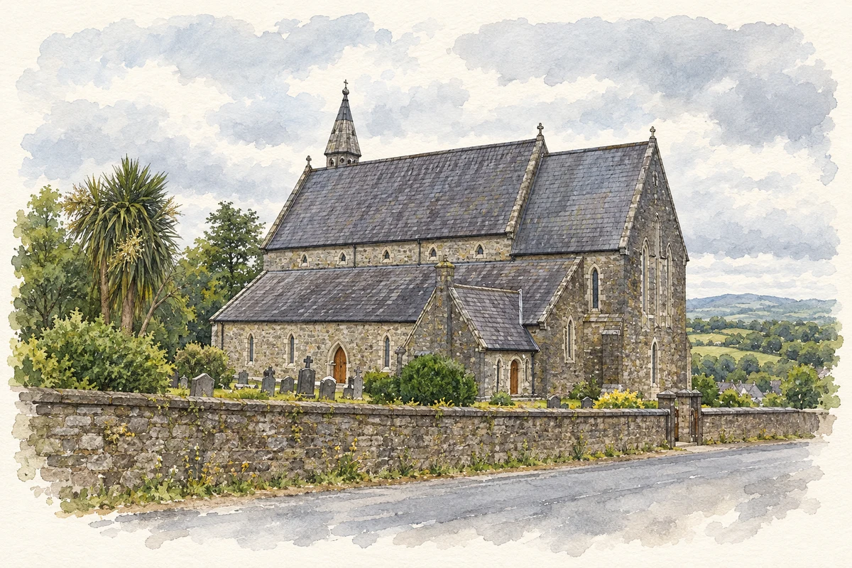
Illustration, St Patrick's Catholic Church, Portlaw, County Waterford
⊕Recorded locationPortlaw52.28772° N · 7.31405° WInteractive map supplied by OpenStreetMap.
These Irish name elements are associated with this record in the Logainm glossary.
An element’s translation is a clue, rather than a complete explanation of the name. Its form and meaning depend on local history and the full Irish name.
Recorded forms
Port Lách· Irish · main form · validated name
Portlaw· English · main form
Place & story
People & connections
David Malcomson’s industrial venture
David Malcomson established the Portlaw cotton industry in 1825 after building a business career in Clonmel. Historian Tom Hunt traces his earlier employment with Sarah Grubb at Anner Mills and the opportunities offered by Clonmel's agricultural trade. The Quaker entrepreneur's Portlaw venture developed into part of a much wider business network. Its importance to this particular place was direct: the factory became the reason for a large new working community to grow beside the river, with housing and services following industrial employment.[2]
The distinctive Portlaw roof
The planned village used broad streets radiating from a central square, with regular rows of workers' houses. An unusual roof construction became one of its defining features: tarred calico was stretched over curved timber frameworks to form a shallow weatherproof covering. Decorative timber boards finished the projecting eaves. The National Inventory of Architectural Heritage describes this as an efficient, economical system developed for the Malcomson buildings. Such details show that the town's design involved experiments in construction as well as the arrangement of streets and public spaces.[3]
Workers and the cost of decline
Hunt's study of factory returns counts 1,141 jobs lost between 1874 and 1878 as the Malcomson business collapsed. The affected workforce included women, men and children; 142 of those losing work were classified as children in the returns. Employment continued on a smaller scale, and the study places the final cessation of cotton spinning in 1904. This complicates accounts that treat the earlier financial collapse as an immediate end to all production. Portlaw's planned amenities and housing cannot be separated from the insecurity created by dependence on one industry.[4]
Both counts use the 2016 settlement boundary, allowing like-for-like comparison. CSO supplies the 2022 count on this older boundary for comparison only. The official 2022 Built Up Area has different boundaries.
View population figures
Portlaw — Census 2016 settlement footprint — census population
These are the historical areas published in the 2006 census report. Boundaries may differ between censuses and from modern settlements. Legal towns, environs and suburbs are shown separately; none has been combined into a modern settlement total.
View population figures
Portlaw, Waterford — Census town, CSO 2006 report — census population
These are the historical areas published in the 1996 census report. Boundaries may differ between censuses and from modern settlements. Legal towns, environs and suburbs are shown separately; none has been combined into a modern settlement total.
View population figures
Portlaw, Waterford — Census town, CSO 1996 report — census population
Figures cover the historical town area printed in the 1986 report. Boundaries may have changed between censuses. Legal town, environs and suburb totals remain separate and differ from modern settlement boundaries.
View population figures
Portlaw, Waterford — Census town, CSO 1986 report — census population
These figures use different area definitions. Read the boundary note before comparing them.
Portlaw, Waterford
Published census settlement populations
1,742people · 2016
Settlement boundaries changed during this period. Differences may reflect boundary changes as well as population change. Where a 2011 legal-town-and-environs count is shown, it has not been recalculated onto the 2016 settlement boundary.
St Patrick's Catholic Church, Portlaw, County Waterford illustration: based on a Portlaw Catholic Church by John M. AI-assisted watercolour and ink adaptation; cream paper margins added, incidental clutter omitted and fine details simplified. Licence: CC BY-SA 2.0.
 placenames