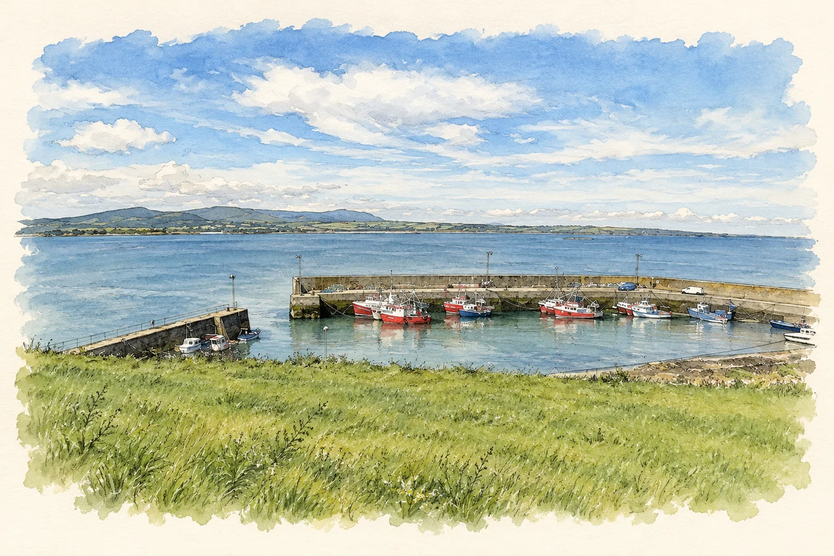
An Rinn, also recorded as Ringville, is associated with Irish-language teaching and song traditions, within a coastal district that includes Helvick’s lifeboat station.
Illustration, Helvick Harbour near Ringville (An Rinn)
⊕Recorded locationRingville52.04878° N · 7.56691° WInteractive map supplied by OpenStreetMap.
These Irish name elements are associated with this record in the Logainm glossary.
An element’s translation is a clue, rather than a complete explanation of the name. Its form and meaning depend on local history and the full Irish name.
Recorded forms
An Rinn· Irish · main form · validated name
Ringville· English · main form
Place & story
The beginnings of Coláiste na Rinne
Coláiste na Rinne dates its establishment to 1905 and official recognition as an Irish-language summer school to 1907. Its own history traces an earlier beginning to 1903, when visitors wanted to learn Irish and Conradh na Gaeilge organiser Pádraig Ó Cadhla secured funding for summer classes. These stages distinguish informal teaching, institutional establishment and later recognition. The college's development placed the local Irish-speaking community at the centre of a wider educational project, bringing learners into contact with the language where it was used in everyday life.[2]
People & connections
Nioclás Tóibín and the transmission of songs
A 1990 RTÉ programme recorded singer Nioclás Tóibín discussing the people who had passed songs to him. His uncle, also named Nioclás, travelled by bicycle collecting songs and talking with older people, while teacher Pilib Ó Foghlú encouraged him at school. Tóibín was born in Baile Uí Raghallaigh in An Rinn in 1928, emigrated to England and returned around 1960. The recorded interview shows the family, school and collecting networks behind his sean-nós repertoire. It provides testimony about transmission without requiring the songs themselves to be reproduced.[3]
Lifesaving at nearby Helvick
The neighbouring Helvick coast forms another part of the district's history. The RNLI records construction of a new lifeboat house and slipway at Crowe Point on the southern side of Dungarvan Bay in 1899. The station subsequently became known as Helvick Head. Its lifeboat was withdrawn in 1969, and the service was re-established in 1997 with an Atlantic 21 boat. These dates describe a service that changed site and equipment over time, linking the coastal community to the practical demands of rescue in and around the bay.[4]
Both counts use the 2016 settlement boundary, allowing like-for-like comparison. CSO supplies the 2022 count on this older boundary for comparison only. The official 2022 Built Up Area has different boundaries.
View population figures
An Rinn — Census 2016 settlement footprint — census population
These are the historical areas published in the 2006 census report. Boundaries may differ between censuses and from modern settlements. Legal towns, environs and suburbs are shown separately; none has been combined into a modern settlement total.
View population figures
An Rinn, Waterford — Census town, CSO 2006 report — census population
These are the historical areas published in the 1996 census report. Boundaries may differ between censuses and from modern settlements. Legal towns, environs and suburbs are shown separately; none has been combined into a modern settlement total.
View population figures
An Rinn, Waterford — Census town, CSO 1996 report — census population
These figures use different area definitions. Read the boundary note before comparing them.
An Rinn, Waterford
Published census settlement populations
499people · 2016
Settlement boundaries changed during this period. Differences may reflect boundary changes as well as population change. Where a 2011 legal-town-and-environs count is shown, it has not been recalculated onto the 2016 settlement boundary.
 placenames