 placenames
Gleneask
Gleann Iasc
Two Military Archives records document an IRA outpost and a capture in the Gleneask area.
The name
These Irish name elements are associated with this record in the Logainm glossary.
An element’s translation is a clue, rather than a complete explanation of the name. Its form and meaning depend on local history and the full Irish name.
Recorded forms
- Gleann Iasc · Irish · main form · validated name
- Gleneask · English · main form
Place & story
An outpost remembered
A July 1935 letter from Jack Walker to the military pension authorities enclosed a membership list for Gleneask Outpost as it stood on 11 July 1921. Edward Haran is listed as lieutenant. Walker explained that he had compiled the names as accurately as possible, although he had been unable to locate two former members. [2]
Charles Gildea’s account
In his Bureau of Military History statement, Charles Gildea recalled being billeted in the Gleneask area when Auxiliaries surrounded it on 28 February. He tried to escape into the hills but was captured and taken to Sligo Jail; Walker escaped in another direction. Gildea’s recollection gives this rural locality a direct place in his account of the revolutionary period. [3]
Geographic information
- Place type
- Population centre
- County
- Sligo
- Barony
- Leyny
- Civil parish
- Kilmacteige
- Coordinates
- 54.08056, -8.91684 (approximate)
- Logainm ID
- 134439 ↗
Sources & further reading
- Logainm.ie — Gleneask. Place names and geographic record, licensed under CC BY 4.0.
- MA-MSPC-RO-281 — Gleneask Outpost membership list and covering letter, 25 July 1935 · Jack Walker; Military Archives
- Bureau of Military History witness statement W.S.1313 — page 10 · Charles Gildea; Military Archives
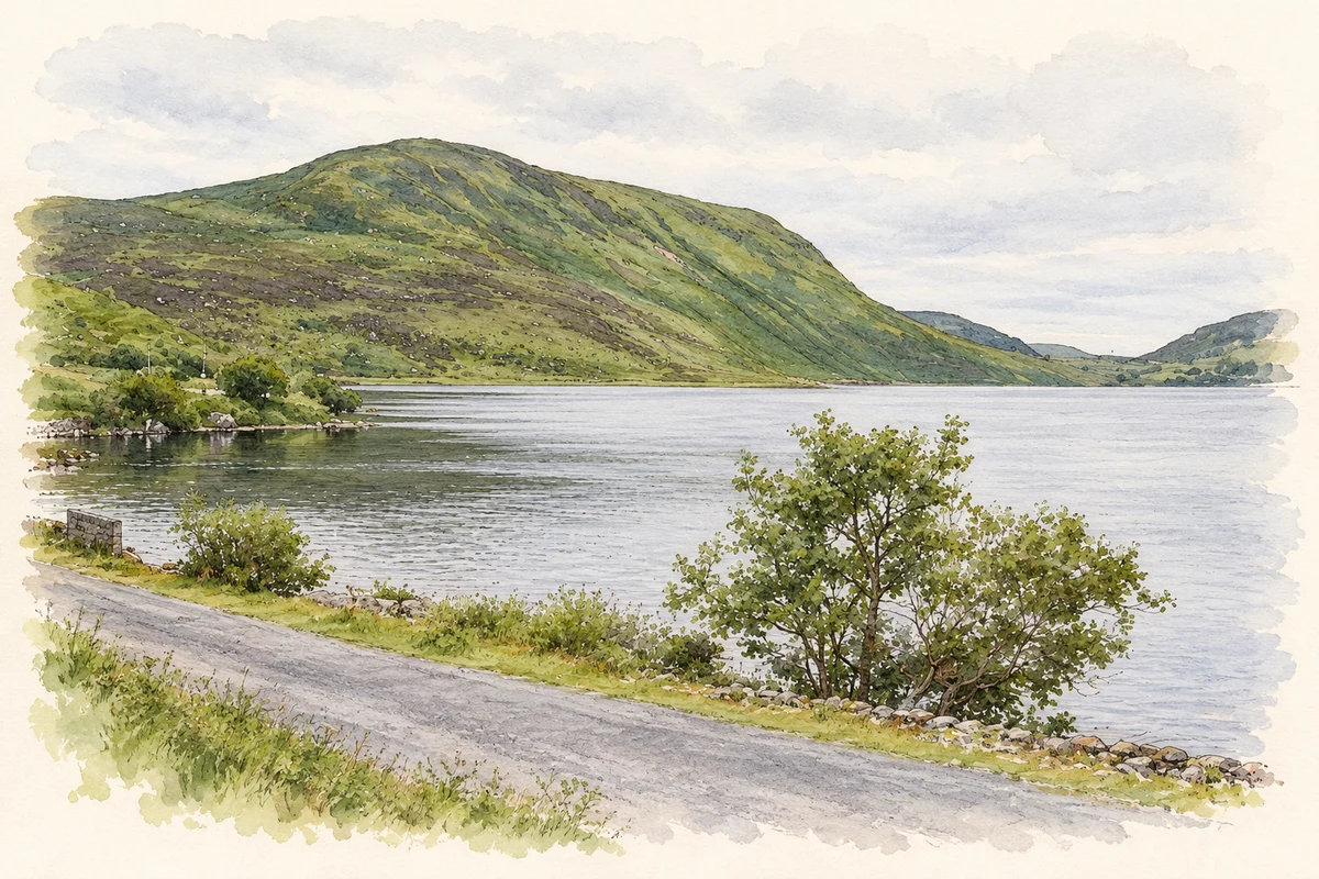
- Lough Talt near Gleneask, as photographed in 2012 illustration: based on a Lough Talt by Richard Webb. AI-assisted watercolour and ink adaptation; cream paper margins added, incidental clutter omitted and fine details simplified. Licence: CC BY-SA 2.0.
Name record retrieved 2026-10-25 · Source record modified 2025-01-10. How this page was prepared.