 placenames
Brantry
An Bréantar
Brantry’s history belongs to a wider district of woods and loughs, where a Franciscan chronicler recorded the seventeenth-century wars and a later parish acquired its own church.
The name
A reliable full-name meaning has not been established here. The recorded Irish and English forms are given without an unsupported translation.
Recorded forms
- An Bréantar · Irish · main form · validated name
- Brantry · English · main form
Place & story
The wooded district in Tudor records
The O'Neill Country Historical Society identifies the Brantry woods as a stronghold recorded in English state papers during Shane O'Neill's time. Its account describes a district of loughs, drumlins, hillforts and crannogs rather than a single compact village. The wooded landscape provided the setting for later religious refuge and conflict, and the continuing use of the district name links these scattered places within one historical area. [2]
Toirdhealbhach Ó Mealláin at the friary
The Franciscan priest and annalist Toirdhealbhach Ó Mealláin lived at the small friary of Gort Tamlacht na Muc in the Brantry during the early 1640s. He kept a journal covering October 1641 to February 1647, recording the conflict from a perspective sympathetic to the O'Neills. His surviving manuscript is held at University College Cork. The Dictionary of Irish Biography distinguishes his documented presence from the unproven claim that he served as Phelim O'Neill's chaplain. [3]
Holy Trinity and the new parish
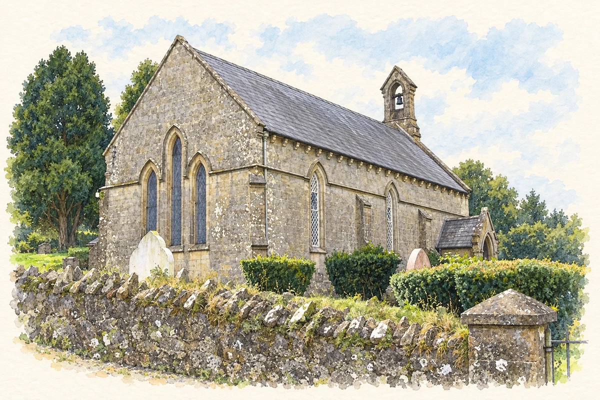
Holy Trinity Church at Creevelough was consecrated on 13 September 1844, serving a district formed from parts of Aghaloo, Carnteel and Clonfeacle. The published parish account links its construction with the Caledon family and records communion vessels dated 1844, including a chalice given by Archbishop John George Beresford. These foundation objects preserve a precise record of patronage as the older district name acquired a new ecclesiastical role. [4]
Geographic information
- Place type
- Population centre
- County
- Tyrone
- Barony
- Dungannon Lower
- Civil parish
- Aghaloo
- Within
- Creevelough
- Coordinates
- 54.42893, -6.84423 (approximate)
- Logainm ID
- 135018 ↗
Sources & further reading
- Logainm.ie — Brantry. Place names and geographic record, licensed under CC BY 4.0.
- The Brantry:an area steeped in history,October2012 · O’Neill Country Historical Society
- Ó Mealláin,Toirdhealbhach,a6403 · Darren McGettigan,Dictionary of Irish Biography
- Brantry District,County Tyrone:parish history and newspaper transcriptions · Co Tyrone People From the Past;parish account drawing on James B. Leslie
- Holy Trinity Church, near Brantry illustration: based on a Holy Trinity Church of Ireland, Brantry by Kenneth Allen. AI-assisted watercolour and ink adaptation; cream paper margins added, incidental clutter omitted and fine details simplified. Licence: CC BY-SA 2.0.
Name record retrieved 2026-10-25 · Source record modified 2010-04-19. How this page was prepared.