 placenames
Bready
An Bhréadaigh
Bready has a long Covenanting history and a modern record of preserving its surrounding townland names. Nearby Magheramason is home to the cricket club that carries Bready’s name.
The name
A reliable full-name meaning has not been established here. The recorded Irish and English forms are given without an unsupported translation.
Recorded forms
- An Bhréadaigh · Irish · main form · validated name
- Bready · English · main form
Place & story
A Covenanting congregation
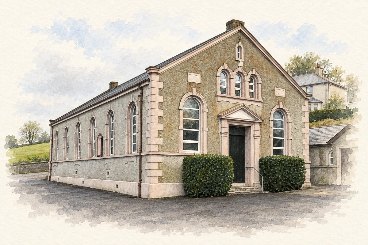
Bready’s Reformed Presbyterian congregation developed from the Covenanting communities of the Foyle Valley during the eighteenth century. The Presbyterian Historical Society dates the ordination of its first minister to 1765. A site for a meeting house at Bready was secured six years later. The congregation marked its 250th anniversary in 2015, when historian William Roulston presented research on this long religious presence in the district. [2]
Keeping townland names visible
A local heritage initiative made the area’s older geography visible beside its roads. Bready and District Ulster-Scots Development Association, formed in 2001, obtained Peace II funding in 2004 for markers at townland boundaries. The Ulster Historical Foundation helped implement the project in 2005. Its work also included the Bready Ancestry website, a booklet and ten interpretative panels for the Sollus Centre, linking roadside names with research into the district’s history. [3]
International stars at the nearby cricket ground
Bready Cricket Club plays at nearby Magheramason. A contemporary report in the Ulster Cricketer describes its fiftieth-anniversary celebration in August 1988: a single-wicket competition brought leading international players, including Allan Border, Imran Khan and Malcolm Marshall, together with local cricketers. Nigel Thompson and Junior McBrine defeated international opponents in their sections, and Border ultimately won the event. The occasion placed a small rural club alongside some of the sport’s best-known players. [4]
Geographic information
- Place type
- Population centre
- County
- Tyrone
- Barony
- Strabane Lower
- Civil parish
- Donaghedy
- Within
- Tamnabrady
- Coordinates
- 54.91823, -7.42293 (approximate)
- Logainm ID
- 135019 ↗
Sources & further reading
- Logainm.ie — Bready. Place names and geographic record, licensed under CC BY 4.0.
- Bready RPC 250: Foyle Valley Covenanters · Presbyterian Historical Society of Ireland (30 April 2015)
- Bready Townland Markers Project · Ulster Historical Foundation
- Celebrity Celebration at Bready, page 44 · The Ulster Cricketer, Autumn 1988
- Reformed Presbyterian Church, Bready illustration: based on a Bready Presbyterian Church by Kenneth Allen. AI-assisted watercolour and ink adaptation; cream paper margins added, incidental clutter omitted and fine details simplified. Licence: CC BY-SA 2.0.
Name record retrieved 2026-10-25 · Source record modified 2010-04-19. How this page was prepared.