 placenames
Cranagh
An Chrannóg
Cranagh’s development in the Glenelly valley is closely recorded through successive school buildings and the replacement of its nineteenth-century chapel.
The name
A reliable full-name meaning has not been established here. The recorded Irish and English forms are given without an unsupported translation.
Recorded forms
- An Chrannóg · Irish · main form · validated name
- Cranagh · English · main form
Place & story
Barny Gormley’s schoolhouse
A local information board, photographed in 2011, traces Cranagh's growth around a chapel and school. It records Barny Gormley's stone-and-clay schoolhouse in 1825, built for £6 and serving thirty-three pupils. A national school opened in neighbouring Legcloghfin in 1847. Shops and a public house subsequently helped establish a village centre, bringing services together in the surrounding rural valley. [2]
Saint Patrick’s replaces Saint Joseph’s
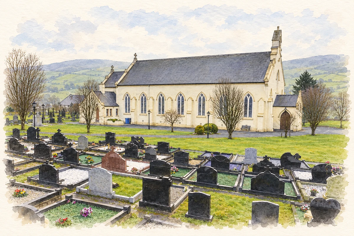
The present Saint Patrick's Church was built in 1912, replacing Saint Joseph's on the higher side of the road beside the old graveyard. Parish priest James McGoerty commissioned architect J. P. McGrath and contractor Michael Sweeney, both of Derry. The Gothic Revival building has a rectangular nave, narrower chancel, side sacristy and western porch, with pointed windows and prominent exposed timber roof trusses inside. [3]
Saint Brigid’s succeeds Legcloughfin
Saint Brigid's Primary School replaced the older Legcloughfin school in the mid-twentieth century. Its own prospectus dates the opening to 1959 and places it within the parish of Upper Badoney. The return of the school to Cranagh continued the village's role as an educational centre for the district. It also separated the modern school community from the older building remembered in local historical accounts. [4]
Geographic information
- Place type
- Population centre
- County
- Tyrone
- Barony
- Strabane Upper
- Civil parish
- Bodoney Upper
- Within
- Oughtboy
- Coordinates
- 54.78149, -7.09846 (approximate)
- Logainm ID
- 135040 ↗
Sources & further reading
- Logainm.ie — Cranagh. Place names and geographic record, licensed under CC BY 4.0.
- Cranagh information board,photographed21October2011 · Local heritage information board,transcribed by Kenneth Allen,Geograph
- Cranagh,Saint Patrick · National Churches Trust
- Saint Brigid’s Primary School Prospectus2016–17 · Saint Brigid’s Primary School,Cranagh
- St Patrick’s Church, Cranagh illustration: based on a St Patrick's RC Church and graveyard, Cranagh by Kenneth Allen. AI-assisted watercolour and ink adaptation; cream paper margins added, incidental clutter omitted and fine details simplified. Licence: CC BY-SA 2.0.
Name record retrieved 2026-10-25 · Source record modified 2010-04-19. How this page was prepared.