Rhode's twentieth-century history is closely tied to peat-fired electricity generation, while its parish church preserves an earlier phase of village building.
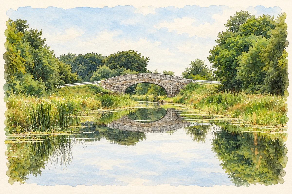
Illustration, Rhode Bridge on the Grand Canal, near Rhode
⊕Recorded locationRhode53.35155° N · 7.19740° WInteractive map supplied by OpenStreetMap.
A reliable full-name meaning has not been established here. The recorded Irish and English forms are given without an unsupported translation.
Recorded forms
Ród· Irish · main form · validated name
Rhode· English · main form
Place & story
Milled peat and the national grid
Construction of Rhode generating station began in 1958 on a site near peat supplies and water from the Yellow River. Unlike earlier plants burning sod turf, it used milled peat. Two 20-megawatt units entered service in 1960, and a 40-megawatt unit followed in 1963. ESB's archive records that, for one week in 1963, Rhode had the largest generating unit supplying the national grid. The station made the surrounding boglands part of an industrial system linking fuel extraction, transport and electricity production, and it became a major feature of the district's working life.[2]
The cooling towers come down
Rhode's peat station was decommissioned in 2003. On 16 March 2004, two cooling towers were demolished before a crowd of local people. RTÉ's contemporary report gave their heights as 79 and 85 metres and noted how familiar they had become to travellers on the main Dublin–Galway road. Their disappearance marked a conspicuous change in the midlands skyline. The towers had condensed steam for reuse in the station, but they also served as landmarks by which people recognised Rhode from far beyond the village itself.[2][3]
St Peter's before the power station
St Peter's Catholic church was built in 1816 and renovated in 1859, long before the generating station transformed the district. Its cruciform plan is expressed through pitched roofs and roughcast walls with cut-stone details. Pointed windows retain timber Y-tracery and intersecting glazing bars, features highlighted by the architectural survey as particularly skilful work. A date plaque stands above the entrance, and the church grounds include grave markers and a statue. The stone boundary wall, iron railings and gates preserve the enclosure of this early nineteenth-century parish building.[4]
Both counts use the 2016 settlement boundary, allowing like-for-like comparison. CSO supplies the 2022 count on this older boundary for comparison only. The official 2022 Built Up Area has different boundaries.
View population figures
Rhode — Census 2016 settlement footprint — census population
These are the historical areas published in the 2006 census report. Boundaries may differ between censuses and from modern settlements. Legal towns, environs and suburbs are shown separately; none has been combined into a modern settlement total.
View population figures
Rhode, Offaly — Census town, CSO 2006 report — census population
These are the historical areas published in the 1996 census report. Boundaries may differ between censuses and from modern settlements. Legal towns, environs and suburbs are shown separately; none has been combined into a modern settlement total.
View population figures
Rhode, Offaly — Census town, CSO 1996 report — census population
Figures cover the historical town area printed in the 1986 report. Boundaries may have changed between censuses. Legal town, environs and suburb totals remain separate and differ from modern settlement boundaries.
View population figures
Rhode, Offaly — Census town, CSO 1986 report — census population
These figures use different area definitions. Read the boundary note before comparing them.
Rhode, Offaly
Published census settlement populations
811people · 2016
Settlement boundaries changed during this period. Differences may reflect boundary changes as well as population change. Where a 2011 legal-town-and-environs count is shown, it has not been recalculated onto the 2016 settlement boundary.
 placenames