These Irish name elements are associated with this record in the Logainm glossary.
An element’s translation is a clue, rather than a complete explanation of the name. Its form and meaning depend on local history and the full Irish name.
Recorded forms
An Baile Meánach· Irish · main form · validated name
Ballymena· English · main form
Place & story
The river and the market
Ballymena stands on the Braid in Kirkinriola parish. Lewis’s 1837 account describes a substantial stone bridge and a market drawing goods from surrounding farms and workshops.[2]
A network of linen work
Lewis attributes local linen growth from about 1732 to the Adair and Dickey families. By 1837 he records bleach-greens within a five-mile circuit, town merchants and a mill spinning linen yarn by machinery.[2]
People & connections
James McHenry’s Atlantic journey
James McHenry, the physician and politician commemorated by Fort McHenry in Baltimore, was born in Ballymena. His birth year is usually given as 1753, although the Maryland State Archives records several competing dates. He emigrated to Philadelphia in 1771, attended Newark Academy and studied medicine with Benjamin Rush.[3][4]
McHenry served as an army surgeon during the American Revolution and was captured at Fort Washington in 1776. The surviving papers at the Library of Congress document the subsequent course of his public life. His migration adds a different strand to Ballymena’s linen history: alongside the circulation of cloth and agricultural goods, individual journeys connected the Antrim market town with institutions across the Atlantic.[3][5]
Both censuses use the same 2015 settlement boundary. These exact counts cover usual residents in the settlement, rather than local government districts or historic counties. Other NISRA tables may use approximate counts.
View population figures
BALLYMENA — Settlement 2015 (N11000099) — census population
The report states that these figures use the district as constituted in 1926. This is a historical urban administrative area, separate from the modern settlement boundary and usual-resident population.
View population figures
Ballymena Urban District — 1926 boundary — census population
The census used a grid rectangle around the built-up area, rather than today’s settlement boundary. The 1981 figures are as enumerated, without adjustment for non-enumeration. These counts remain separate from later settlement totals.
View population figures
Ballymena — census rectangle D080010 to D130060 — census population
The published 2001 KS01 settlement count uses an earlier geography and disclosure-control methods. It is not rebased to the 2015 settlement used for 2011 and 2021. The geographic matching file can contain a different 2001 count; the figure shown here comes from KS01.
View population figures
Ballymena — KS01 Settlement (2005 geography) — census population
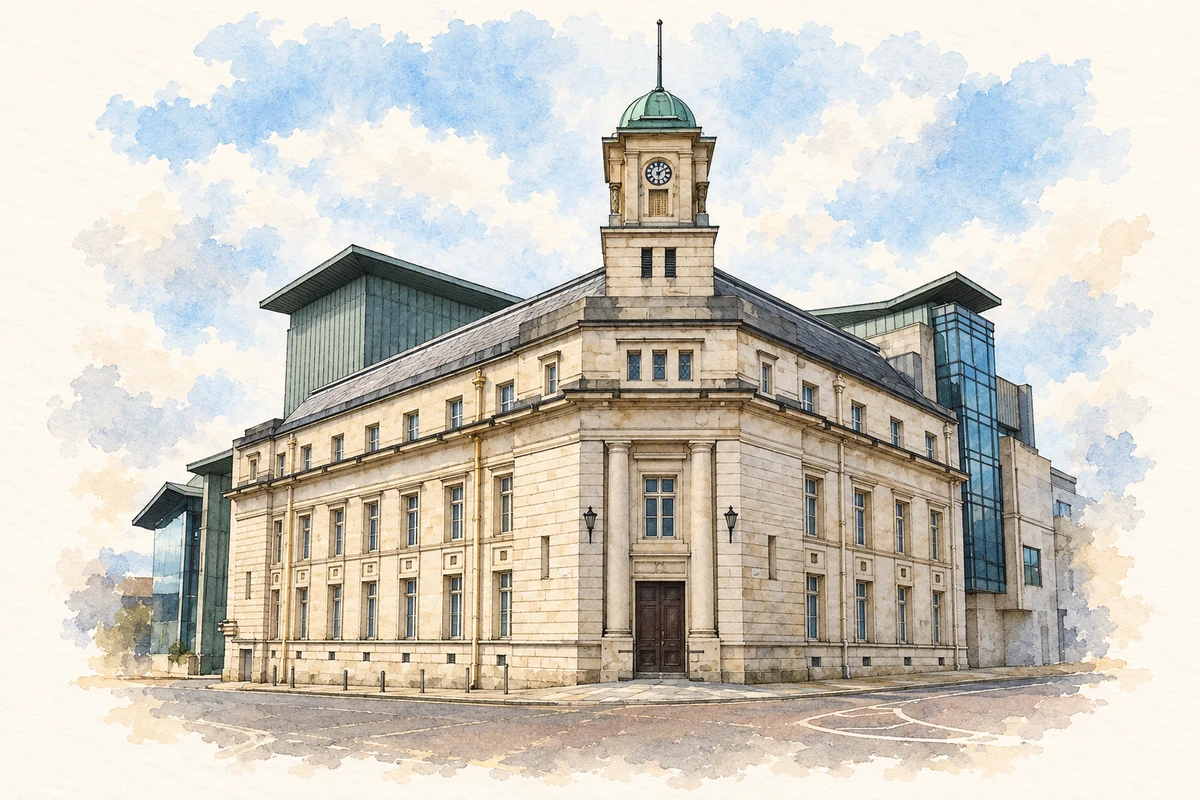
Ballymena Town Hall, County Antrim illustration: based on a Ballymena Town Hall by Gerald England. AI-assisted watercolour and ink adaptation; cream paper margins added, incidental clutter omitted and fine details simplified. Licence: CC BY-SA 2.0.
 placenames