 placenames
Ballysillan
Baile na Saileán
Ballysillan’s industrial past survives beneath later development, while its churches and playing fields mark successive changes in this part of north Belfast.
The name
These Irish name elements are associated with this record in the Logainm glossary.
An element’s translation is a clue, rather than a complete explanation of the name. Its form and meaning depend on local history and the full Irish name.
Recorded forms
- Baile na Saileán · Irish · main form · validated name
- Ballysillan · English · main form
Place & story
A millrace beneath the industrial estate
Archaeological monitoring at Ballysillan Industrial Estate on Ligoniel Road uncovered part of a millrace in 2007. The channel extended for 33 metres, measured about three metres across and reached roughly half a metre deep. Clay pipes, pottery and china recovered during the work dated from the nineteenth and twentieth centuries. These modest remains preserve evidence of water-powered industry in ground subsequently used for an industrial estate and then housing development. [2]
St Mark’s changing shape
St Mark’s Church on Ligoniel Road was consecrated in 1856 after a two-year building campaign. Its later development substantially changed the original Gothic Revival church. William Henry Lynn’s enlargement, reopened in 1866, added a new nave and chancel and turned the earlier nave into transepts. James John Phillips oversaw further additions in 1885–86, including an organ chamber and baptistry screen. The building therefore carries the work of several campaigns, reflecting a congregation whose needs expanded during Belfast’s nineteenth-century growth. [3]
Playing fields and a river channel
Ballysillan Playing Fields provide space for football and bowls, with entrances from Alliance Drive, Ballysillan Road and Deerpark Road. Plans considered by Belfast City Council in 2023 included play areas, allotment improvements and opening part of the culverted river to form a new channel and flood-storage area. Redevelopment began in July 2025. The council described an £8.4 million project to create a public park, with completion expected in spring 2027. [4] [5]
Geographic information
- Place type
- Population centre
- County
- Antrim
- Barony
- Belfast Upper
- Civil parish
- Shankill
- Coordinates
- 54.62411, -5.97152 (approximate)
- Logainm ID
- 135727 ↗
Sources & further reading
- Logainm.ie — Ballysillan. Place names and geographic record, licensed under CC BY 4.0.
- 2007:20, Ballysillan, licence AE/07/183 · Lynsey Morton, Archaeological Development Services Ltd; Excavations.ie
- St Mark’s Church, Ligoniel Road, Ballysillan, work 44671 · Dictionary of Irish Architects, Irish Architectural Archive
- Ballysillan Playing Fields · Belfast City Council
- Planning Committee, 29 June 2023, item 19, Ballysillan Playing Fields · Belfast City Council
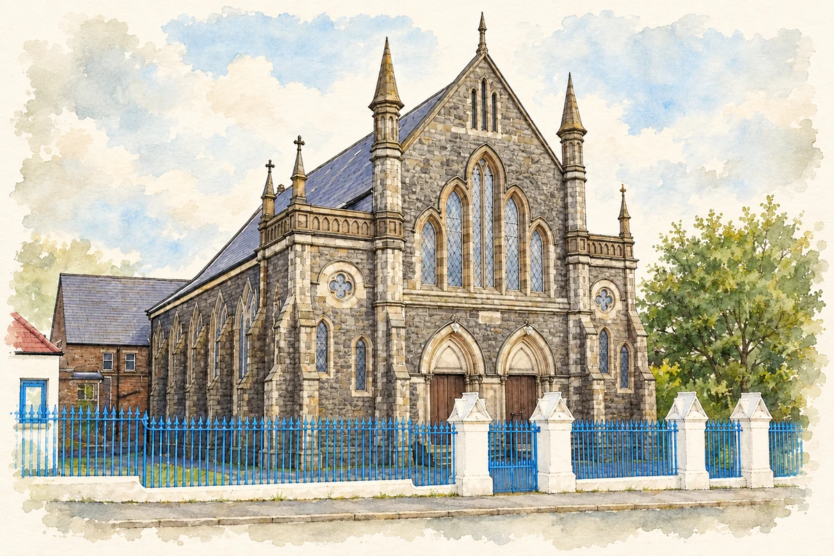
- Ballysillan Presbyterian Church, Belfast, County Antrim illustration: based on a Ballysillan Presbyterian Church by Dean Molyneaux. AI-assisted watercolour and ink adaptation; cream paper margins added, incidental clutter omitted and fine details simplified. Licence: CC BY-SA 2.0.
Name record retrieved 2026-10-25 · Source record modified 2021-05-26. How this page was prepared.