 placenames
Glenravel
Gleann Fhreabhail
Glenravel’s nineteenth-century mining industry survives in worked hillsides, spoil heaps and the routes used to carry ore away.
The name
These Irish name elements are associated with this record in the Logainm glossary.
An element’s translation is a clue, rather than a complete explanation of the name. Its form and meaning depend on local history and the full Irish name.
Recorded forms
- Gleann Fhreabhail · Irish · main form · validated name
- Glenravel · English · main form
Place & story
Landlord and mining entrepreneur
In 1866 Edward Benn granted James Fisher a mining licence in the Upper Glenravel Valley. The Earth Science Conservation Review records about 700 miners working in the district by the 1870s, many combining mining with labouring or small tenant farms. Fisher’s Glenravel mines closed in 1913. [2]
The worked landscape
The industrial remains extend beyond Glenravel’s centre into the hills around Cargan. The conservation review identifies open workings beside the Cargan Water, terraced waste heaps on Binvore and blocked mine entrances. Iron ore and bauxite occur between the basalt lava formations here, linking the district’s industrial history to its geology. [2]
Carrying the ore
The Department of Agriculture, Environment and Rural Affairs identifies traces of narrow-gauge railway systems serving the Glenravel mines towards Red Bay and Ballymena. It also records the settlement of miners in Cargan, Newtown-Crommelin and Waterfoot. [3]
Geographic information
Sources & further reading
- Logainm.ie — Glenravel. Place names and geographic record, licensed under CC BY 4.0.
- Earth Science Conservation Review: Cargan Water/Binvore, site706 · I. Enlander,M. Dempster and P. Doughty; National Museums NI
- Antrim Coast and Glens AONB:Industry · Department of Agriculture,Environment and Rural Affairs
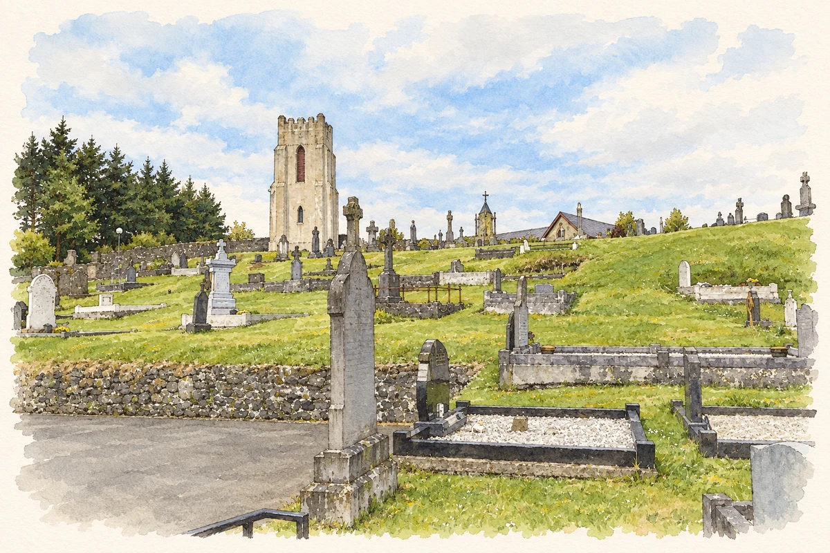
- Saint Mary’s memorial tower near Glenravel, as photographed in 2014 illustration: based on a St Mary's Church Glenravel by Robert Ashby. AI-assisted watercolour and ink adaptation; cream paper margins added, incidental clutter omitted and fine details simplified. Licence: CC BY-SA 2.0.
Name record retrieved 2026-10-25 · Source record modified 2021-05-26. How this page was prepared.