 placenames
Moorfields
Páirc an tSléibhe
Museum evidence of a farming household sits alongside records of industrial investment and school building in this Antrim locality.
The name
These Irish name elements are associated with this record in the Logainm glossary.
An element’s translation is a clue, rather than a complete explanation of the name. Its form and meaning depend on local history and the full Irish name.
Recorded forms
- Páirc an tSléibhe · Irish · main form · validated name
- Moorfields · English · main form
Place & story
A farming household remembered
Mid-Antrim Museum's centenary exhibition documented Martha and Paul Esler's farm at Moorfields. Until the mid-1990s, their mixed farming supplied milk, butter, potatoes and meat for home use and sale. They used a horse for farm work into the 1960s, while many neighbours had tractors. The exhibition also records Martha's cooking over a peat fire and carrying water from an outhouse. [2]
The quarry
Quarrying formed another strand of the area's working life. Northstone Materials' company history records TBF Thompson's purchase of a 300-acre quarry at Moorfields in 1977. The acquisition appears within a period of wider expansion in construction and building materials. CRH bought the TBF Thompson group the following year. These dated transactions place the local quarry within a growing industrial organisation. [3]
A replacement primary school
A new Moorfields Primary School was completed in December 2008. In a written answer published in March 2010, the education minister recorded its capital cost as £2.07 million. The answer listed it among four completed major school projects in North Antrim since May 2007. It provides a firm completion date for the replacement building, rather than merely an announcement of intended construction. [4]
Geographic information
- Place type
- Population centre
- County
- Antrim
- Barony
- Antrim Lower
- Civil parish
- Ballyclug
- Coordinates
- 54.82486, -6.16378 (approximate)
- Logainm ID
- 135826 ↗
Sources & further reading
- Logainm.ie — Moorfields. Place names and geographic record, licensed under CC BY 4.0.
- Looking Back to Look Forward: Mid and East Antrim1921–2021, Women’s Lives, Ballymena · Mid and East Antrim Borough Council, Mid-Antrim Museum
- Company Profile, historical timeline1977–1978 · Northstone Materials
- Northern Ireland Assembly Written Answers,26March2010, AQW5664/10, WA67 · Northern Ireland Assembly; Minister of Education
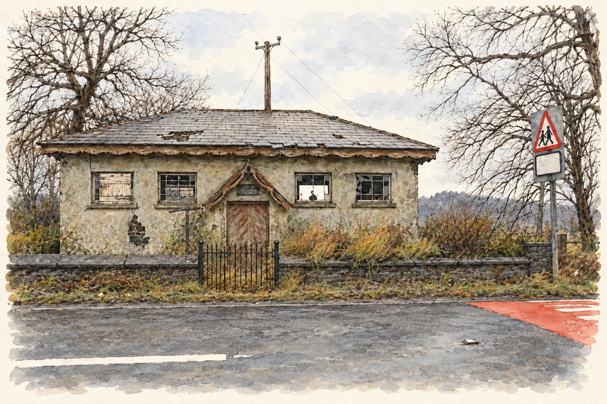
- The former church hall at Moorfields, as photographed in January 2010 illustration: based on a Moorfields Church Hall by Kenneth Allen. AI-assisted watercolour and ink adaptation; cream paper margins added, incidental clutter omitted and fine details simplified. Licence: CC BY-SA 2.0.
Name record retrieved 2026-10-25 · Source record modified 2021-05-26. How this page was prepared.