 placenames
Shankbridge
Droichead na Lorgan
Official records identify Shank Bridge at the townland boundary and document later repair work.
The name
These Irish name elements are associated with this record in the Logainm glossary.
An element’s translation is a clue, rather than a complete explanation of the name. Its form and meaning depend on local history and the full Irish name.
Recorded forms
- Droichead na Lorgan · Irish · main form · validated name
- Shankbridge · English · main form
Place & story
The bridge in the heritage record
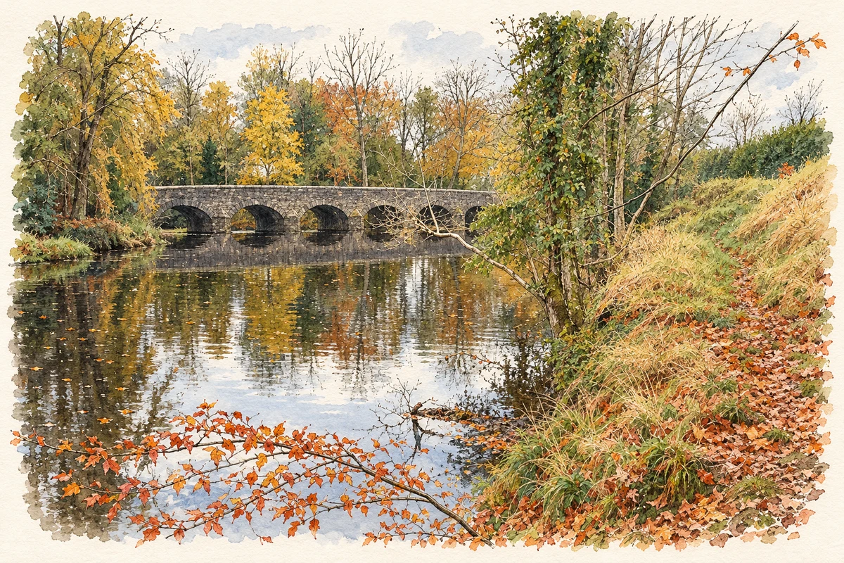
The Belfast Gazette of 1 December 1995 records Shank Bridge among structures selected for their architectural or historic interest. The notice identifies it at Kildrum and Carnaghts, near Kells, under reference HB07/10/011. This places the crossing at the meeting of the two townlands, including Carnaghts, the parent townland of Shankbridge. [2]
Repairs to the parapets
The Department for Infrastructure’s spring 2019 report records maintenance at Shank Bridge on the B98. Vegetation was removed and parapets repointed, with a contractor instructed to install new coping on a rebuilt section. The recorded cost was £8,708. The entry documents practical work to maintain the crossing’s stone boundaries. [3]
Geographic information
- Place type
- Population centre
- County
- Antrim
- Barony
- Antrim Lower
- Civil parish
- Connor
- Within
- Carnaghts
- Coordinates
- 54.81726, -6.25749 (approximate)
- Logainm ID
- 135851 ↗
Sources & further reading
- Logainm.ie — Shankbridge. Place names and geographic record, licensed under CC BY 4.0.
- Belfast Gazette, 1 December 1995, page 1058: Shank Bridge listing notice · Department of the Environment for Northern Ireland
- DfI Roads Report to Mid and East Antrim, Spring 2019, page 51 · Department for Infrastructure, Northern Ireland
- The Shank Bridge near Kells and Connor, County Antrim, as photographed in November 2007 illustration: based on a The Shank Bridge near Kells and Connor (1) by Albert Bridge. AI-assisted watercolour and ink adaptation; cream paper margins added, incidental clutter omitted and fine details simplified. Licence: CC BY-SA 2.0.
Name record retrieved 2026-10-25 · Source record modified 2021-05-26. How this page was prepared.