 placenames
Crabtree Lane
Lána na nÚll
Crabtree Lane is a population centre in Armagh. Explore its recorded names and geographic context.
Recorded locationCrabtree Lane54.46993° N · 6.48827° WInteractive map supplied by OpenStreetMap.
Approximate recorded location · Logainm.ie
The name
A reliable full-name meaning has not been established here. The recorded Irish and English forms are given without an unsupported translation.
Recorded forms
- Lána na nÚll · Irish · main form · validated name
- Crabtree Lane · English · main form
Geographic information
- Place type
- Population centre
- County
- Armagh
- Barony
- Oneilland West
- Civil parish
- Drumcree
- Within
- Derryall
- Coordinates
- 54.46993, -6.48827 (approximate)
- Logainm ID
- 136021 ↗
Sources & further reading
- Logainm.ie — Crabtree Lane. Place names and geographic record, licensed under CC BY 4.0.
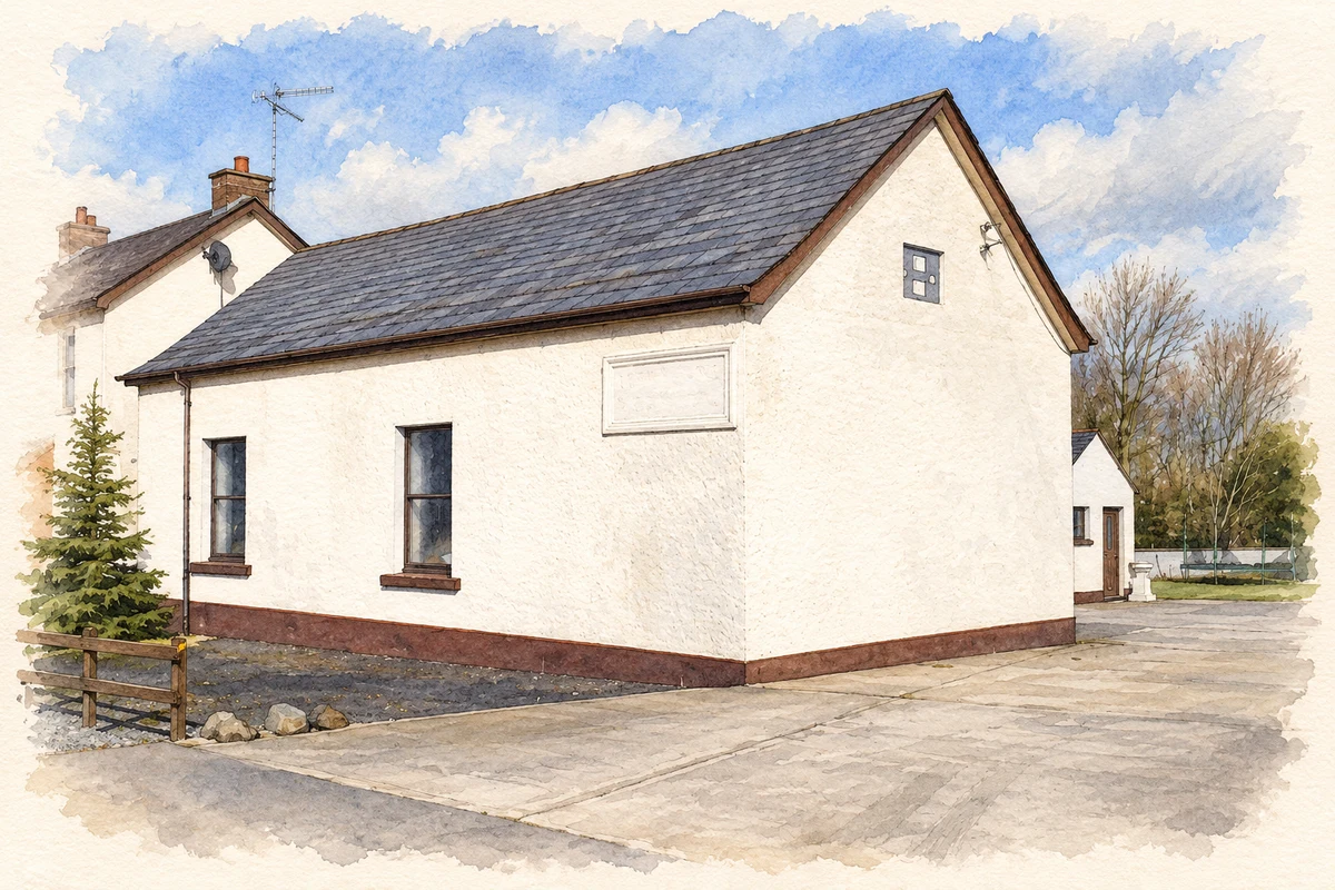
- Former Derryvane school near Crabtree Lane illustration: based on a Derryvane Public Elementary School near Portadown by P Flannagan. AI-assisted watercolour and ink adaptation; cream paper margins added, incidental clutter omitted and fine details simplified. Licence: CC BY-SA 2.0.
Name record retrieved 2026-10-25 · Source record modified 2021-12-20. How this page was prepared.