 placenames
Craigavon
Craigavon was one of the most ambitious planning projects of 1960s Northern Ireland. Its neighbourhoods, transport routes and balancing lakes preserve different parts of that experiment, while contemporary film records the resistance it also encountered.
The name
A reliable full-name meaning has not been established here. The recorded Irish and English forms are given without an unsupported translation.
Recorded forms
- Craigavon · Irish · main form · validated name
- Craigavon · English · main form
Place & story
The 1965 designation
Craigavon was designated on 26 July 1965. Its masterplan envisaged a regional city linking Lurgan and Portadown with new development between them at Brownlow. The project was intended to provide industrial employment, ease housing and traffic pressures in Belfast and serve a wider part of Northern Ireland. Targets envisaged 120,000 residents by 1981 and 180,000 by 2000. The development corporation was wound up in 1973, ending the initial institutional phase of a scheme whose intended scale far exceeded the new neighbourhoods ultimately constructed. [2]
Brownlow's separate paths
Construction at Brownlow began in 1965. Small groups of three-bedroom, concrete-panel terraced houses were set beside green spaces, with pedestrian and cycle routes separated from motor traffic. Dual carriageways connected residential areas with the planned shopping, industrial and leisure centres. Brownlow was the only one of the envisaged residential sectors completed. Empty houses were demolished during the 1970s as the development struggled to attract the population originally anticipated. Its surviving layout records both the designers' neighbourhood principles and the consequences of building only part of a much larger plan. [3]
Joe Hewitt's field on film
The creation of the new settlement involved the compulsory acquisition of farmland. In 1966 local farmer Joe Hewitt led a protest in which farmers used tractors to block fields. Michael McKeown's colour cine footage preserved the confrontation, later known as the Battle of Joe Hewitt's Field. Northern Ireland Screen holds the original unedited material within its Digital Film Archive. This personal film record supplies a view from the land being redeveloped, placing farmers' resistance alongside the official plans and construction photographs through which Craigavon's beginnings are often remembered. [4]
Why the lakes were made
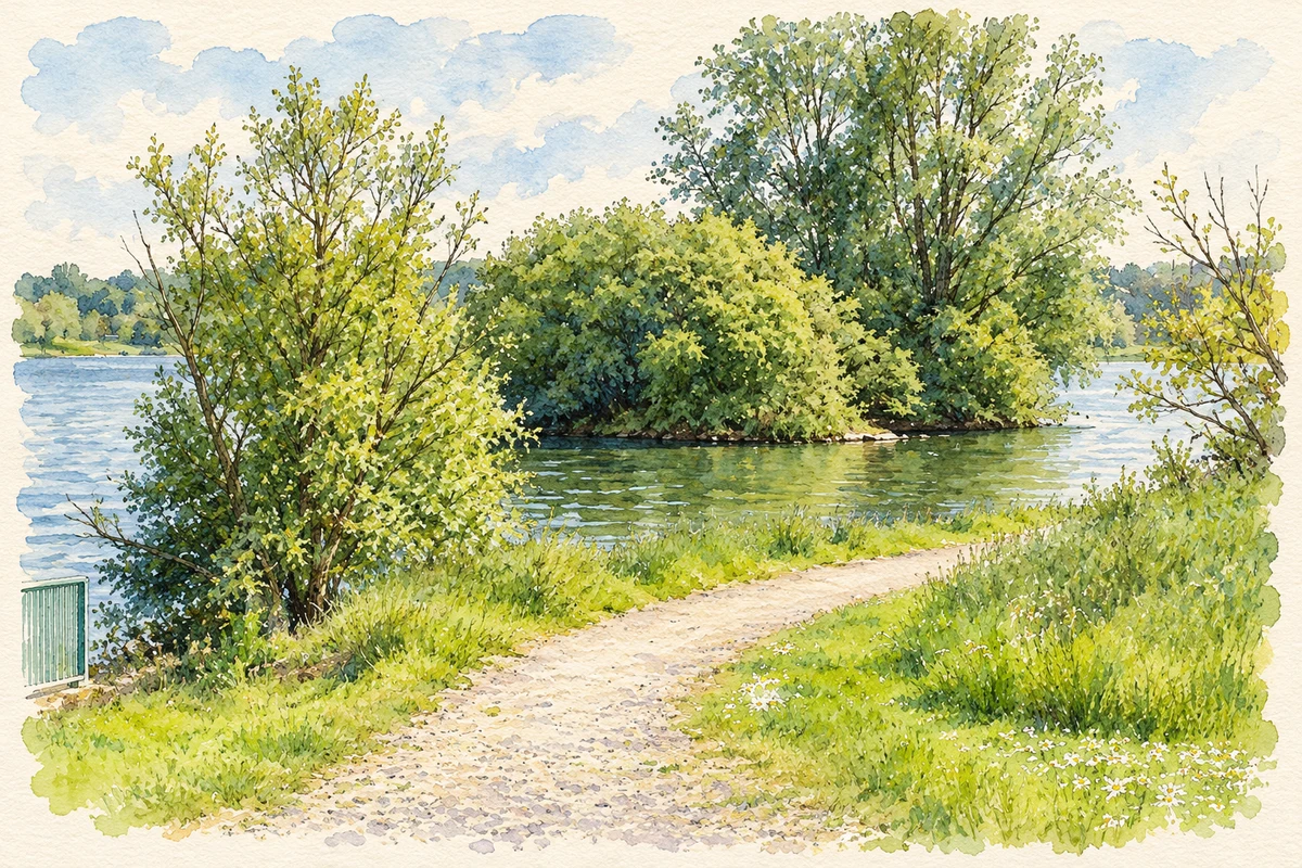
Craigavon's balancing lakes were created in the early 1970s to receive rainwater from the built-up area. Their engineering purpose was to manage runoff as the new settlement developed. They also became places for watersports, fishing and walking, while providing wildlife habitat. The Northern Ireland government's long-term water strategy later used them as an example of drainage infrastructure delivering wider public benefits. The lakes are therefore part of the original city's practical workings as well as one of its most recognisable landscapes. [5]
Geographic information
Sources & further reading
- Logainm.ie — Craigavon. Place names and geographic record, licensed under CC BY 4.0.
- Craigavon: New Town designation · Town and Country Planning Association
- Pivot Points 25 · Irish Architectural Archive
- Super 8 Stories Extra Footage: Clearing Fields to Make Way for Craigavon Development · Northern Ireland Screen Digital Film Archive; original footage Michael McKeown
- Sustainable Water: A Long-Term Water Strategy for Northern Ireland 2015–2040 · Department for Regional Development, Northern Ireland
- Lakeside path, Craigavon Lakes illustration: based on a The Lakes at Craigavon by HENRY CLARK. AI-assisted watercolour and ink adaptation; cream paper margins added, incidental clutter omitted and fine details simplified. Licence: CC BY-SA 2.0; adapted illustration distributed under the same licence.
Name record retrieved 2026-10-25 · Source record modified 2024-10-14. How this page was prepared.