 placenames
Derrynoose
Doire Núis
A ruined church, a nineteenth-century successor and a well associated with St Mochua form a connected local religious landscape.
The name
These Irish name elements are associated with this record in the Logainm glossary.
An element’s translation is a clue, rather than a complete explanation of the name. Its form and meaning depend on local history and the full Irish name.
Recorded forms
- Doire Núis · Irish · main form · validated name
- Derrynoose · English · main form
Place & story
The old church’s surviving corner
A tall fragment of the old church survives in Derrynoose’s historic burial ground. Recording a visit in July 2015, Antonio D’Imperio described the north-eastern corner, about five metres high and locally called the Pillar, with another section of wall to the south. Eighteenth-century grave markers remained among the ruins. His account tentatively dates the church to 1622; the surviving masonry should not be mistaken for a complete early medieval building. [2]
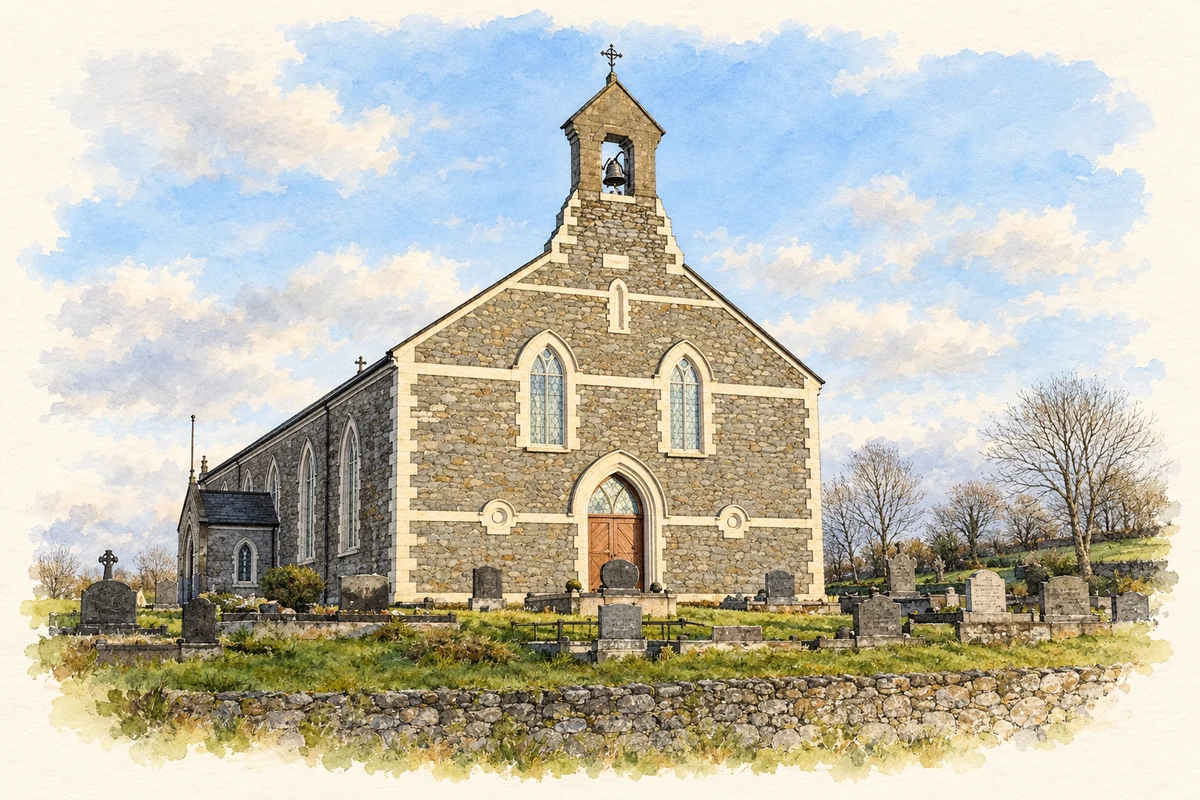
St Mochua’s nineteenth-century successor
The parish records that St Mochua’s Catholic church at Derrynoose was built in 1859. Its interior underwent a significant change in 2003, when an altar, tabernacle and ambo formerly used in St Patrick’s Cathedral, Armagh, were installed during reordering. The transfer gives the local church a direct material connection with the cathedral, alongside its older dedication to the saint associated with Derrynoose. [3]
Devotion and the moving well
An account reproduced by the Archdiocese of Armagh from Derrynoose’s 1983 sports-ground opening brochure describes the customs of St Mochua’s Well on Fergot Road. Devotees seeking relief from eye complaints visited after sunset on three successive evenings, used the water and left a cloth at the well. The same account records a story that the well originally lay across the road: after people fouled it, the water emerged on the other side. These are recorded devotional practices and local tradition, rather than evidence of a medical cure or a documented movement of the spring. [4]
Geographic information
Sources & further reading
- Logainm.ie — Derrynoose. Place names and geographic record, licensed under CC BY 4.0.
- Derrynoose Church: field visit 2 July 2015 · Antonio D’Imperio
- Parish of Keady, Derrynoose and Madden: history · Parish of Keady, Derrynoose and Madden
- St Mochua’s Well, Derrynoose; abstract from 10 July 1983 openingbrochure · Archdiocese of Armagh / Souvenir Brochure of the Official Opening of Páirc Naoimh Mochua
- Saint Mochua’s Church, Derrynoose illustration: based on a St Mochta's Church, Derrynoose by Dean Molyneaux. AI-assisted watercolour and ink adaptation; cream paper margins added, incidental clutter omitted and fine details simplified. Licence: CC BY-SA 2.0.
Name record retrieved 2026-10-25 · Source record modified 2021-12-20. How this page was prepared.