 placenames
Jerrettspass
Bealach Sheirit
Jerrettspass's local history brings together divided and reunited congregations, a school displaced by railway construction and a canal crossing rebuilt in 1808.
The name
These Irish name elements are associated with this record in the Logainm glossary.
An element’s translation is a clue, rather than a complete explanation of the name. Its form and meaning depend on local history and the full Irish name.
Recorded forms
- Bealach Sheirit · Irish · main form · validated name
- Jerrettspass · English · main form
Place & story
Two congregations reunited
Andrew Halliday's district history dates First Drumbanagher Presbyterian Church to 1751, under the Reverend Michael Henry. A separate congregation formed at Jerrettspass in 1801; Halliday leaves the cause of the division unresolved. The congregations reunited in 1902 under the Reverend James Mulligan. Initially, worship alternated between their two churches before services were concentrated at First Drumbanagher. [2]
A school moved for the railway
Railway construction around 1850 displaced the earlier school. Compensation paid by the railway company helped provide a replacement on church ground, initially called Jerrettspass Scriptural School. It later became a national school. In 1926 management passed to the Armagh Regional Committee, with after-hours parochial use reserved. The school closed in 1972; pupils transferred to Poyntzpass, and the building was demolished in 1975. [2]
Brownrigg’s canal crossing
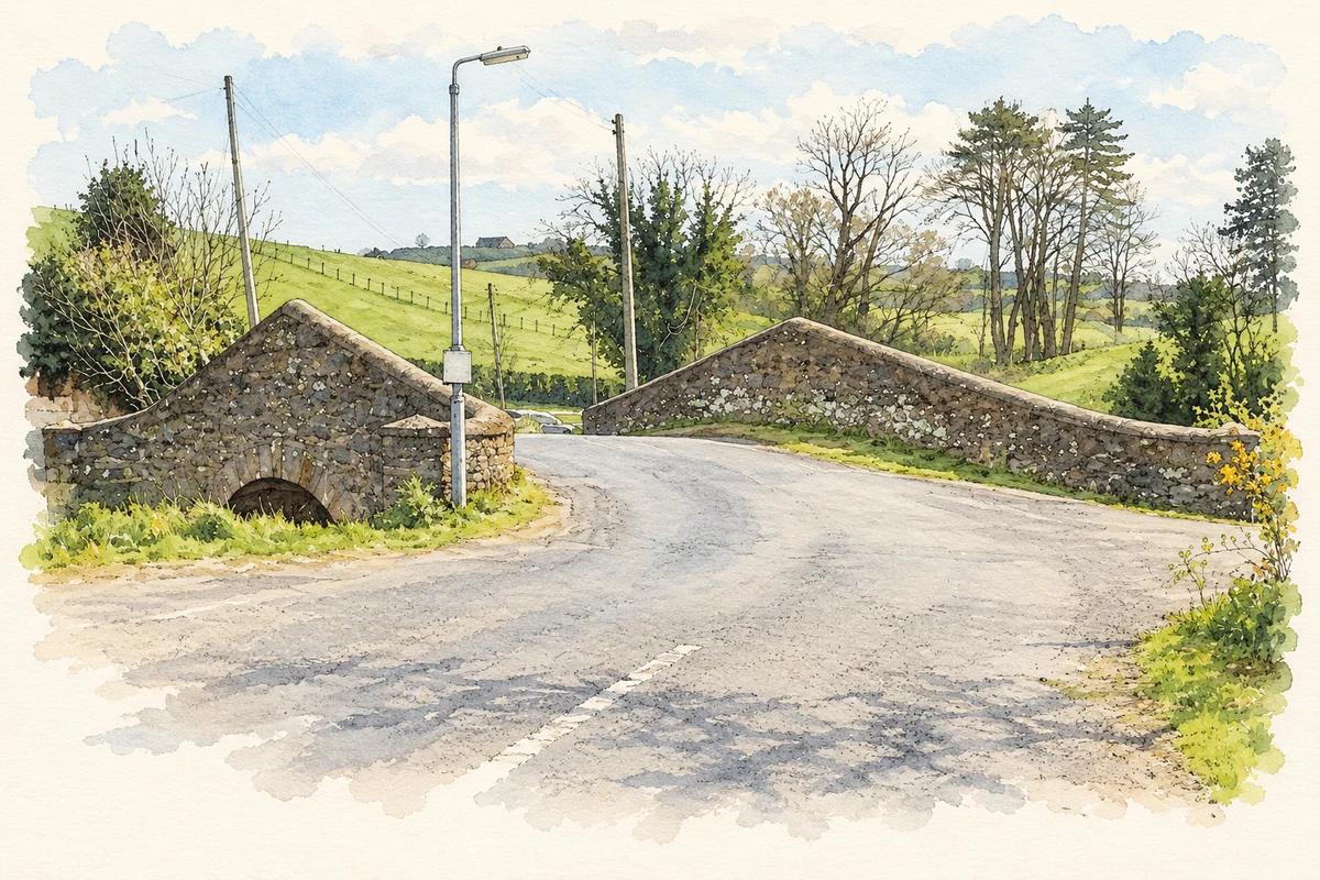
The canal bridge at Jerrettspass bears the date 1808. Halliday identifies it as one of three bridges rebuilt during John Brownrigg's reconstruction of the Newry Canal between 1801 and 1810. The account also records a local coal landing, where cargo was unloaded from barges and taken by wheelbarrow to a nearby merchant's yard. [2]
Geographic information
- Place type
- Population centre
- County
- Armagh
- Barony
- Orior Lower
- Civil parish
- Killevy
- Within
- Kilmonaghan
- Coordinates
- 54.23482, -6.37416 (approximate)
- Logainm ID
- 136042 ↗
Sources & further reading
- Logainm.ie — Jerrettspass. Place names and geographic record, licensed under CC BY 4.0.
- Jerrettspass and District, printed pages 9–11 · Andrew Halliday; Poyntzpass and District Local History Society
- The Newry Canal bridge at Jerrettspass, as photographed in 2019 illustration: based on a The Newry Canal Bridge at Jerrettspass by Eric Jones. AI-assisted watercolour and ink adaptation; cream paper margins added, incidental clutter omitted and fine details simplified. Licence: CC BY-SA 2.0.
Name record retrieved 2026-10-25 · Source record modified 2021-12-20. How this page was prepared.