These Irish name elements are associated with this record in the Logainm glossary.
An element’s translation is a clue, rather than a complete explanation of the name. Its form and meaning depend on local history and the full Irish name.
Recorded forms
Tóin re Gaoith· Irish · main form · validated name
Tandragee· English · main form
Place & story
A town working in linen
Samuel Lewis's 1837 account describes Tandragee as a busy linen centre. Two large establishments stood in the town, with another at Derryallen, producing cloth that included sheeting and damask. Lewis reported more than 6,000 people employed across the trade in the town and surrounding district; that was a regional employment figure, not the town's population. He credited J. Davis with introducing damask manufacture in 1805. The Cusher also powered grain milling, while the nearby Newry navigation provided transport and access to coal supplies.[2]
Successive castles on the same site
The Department for Communities' heritage record identifies the present Tandragee Castle as an 1830s Tudor Revival building by Isaac Farrell. It occupies the site of an O'Hanlon stronghold, later held by the St John family and then by the Montagus, Dukes of Manchester. Its commanding position helps explain the succession of residences here. The nineteenth-century architecture should be distinguished from the much older history of the site: descriptions of an ancient castle do not date every part of the building that survives.[3]
People & connections
Thomas Hutchinson and the first crisp packets
Thomas Hutchinson founded the Tandragee Tayto business in 1956. The company's own history records an initial workforce of six and a first day's production of 972 packets. Its association with the castle grounds gave the enterprise a distinctive local identity, with the factory and the old estate sharing the same address. The surviving company record confirms incorporation on 6 April 1956. These beginnings added food manufacturing to a town whose earlier prosperity had depended heavily on textile production and the markets serving its agricultural hinterland.[4][5]
Both censuses use the same 2015 settlement boundary. These exact counts cover usual residents in the settlement, rather than local government districts or historic counties. Other NISRA tables may use approximate counts.
View population figures
TANDRAGEE — Settlement 2015 (N11000093) — census population
The report states that these figures use the district as constituted in 1926. This is a historical urban administrative area, separate from the modern settlement boundary and usual-resident population.
View population figures
Tandragee Urban District — 1926 boundary — census population
The census used a grid rectangle around the built-up area, rather than today’s settlement boundary. The 1981 figures are as enumerated, without adjustment for non-enumeration. These counts remain separate from later settlement totals.
View population figures
Tandragee — census rectangle J025456 to J042471 — census population
The published 2001 KS01 settlement count uses an earlier geography and disclosure-control methods. It is not rebased to the 2015 settlement used for 2011 and 2021. The geographic matching file can contain a different 2001 count; the figure shown here comes from KS01.
View population figures
Tandragee — KS01 Settlement (2005 geography) — census population
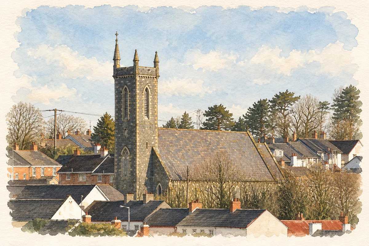
Church of St James, Tandragee, County Armagh illustration: based on a Church of St James, Tandragee by HENRY CLARK. AI-assisted watercolour and ink adaptation; cream paper margins added, incidental clutter omitted and fine details simplified. Licence: CC BY-SA 2.0.
 placenames