 placenames
Killester
Cill Easra
Killester’s garden village housed First World War veterans in an estate whose layout still reflects its original social purpose.
The name
These Irish name elements are associated with this record in the Logainm glossary.
An element’s translation is a clue, rather than a complete explanation of the name. Its form and meaning depend on local history and the full Irish name.
Recorded forms
- Cill Easra · Irish · main form · validated name
- Killester · English · main form
Place & story
A planned estate for former servicemen
The veterans’ housing scheme at Killester was designed by Frank C. Mears. Its completed development of 1923 contained 247 houses in Abbeyfield, Middle Third and the Demesne. The bungalows varied in size and layout: smaller Abbeyfield homes tended to house former privates, while former officers generally occupied bungalows in the Demesne. Orchard and other later additions brought the total to 289. The Irish Sailors’ and Soldiers’ Land Trust administered the housing after the Free State was formed. [2]
The Legion Hall
The Legion Hall provided a meeting place for Armistice Day commemorations and other social events. An arson attack destroyed the original hall in 1928, and a replacement followed in 1932. The council’s centenary heritage research records the hall as a focus of community life, alongside the estate’s distinctive housing. [2]
Geographic information
Sources & further reading
- Logainm.ie — Killester. Place names and geographic record, licensed under CC BY 4.0.
- Killester heritage sign, Dublin City Council Heritage Office, 2023 · Text by Abigail O’Reilly; commissioned research by Dr Ruth McManus, Dr Joseph Brady and Archaeology Plan
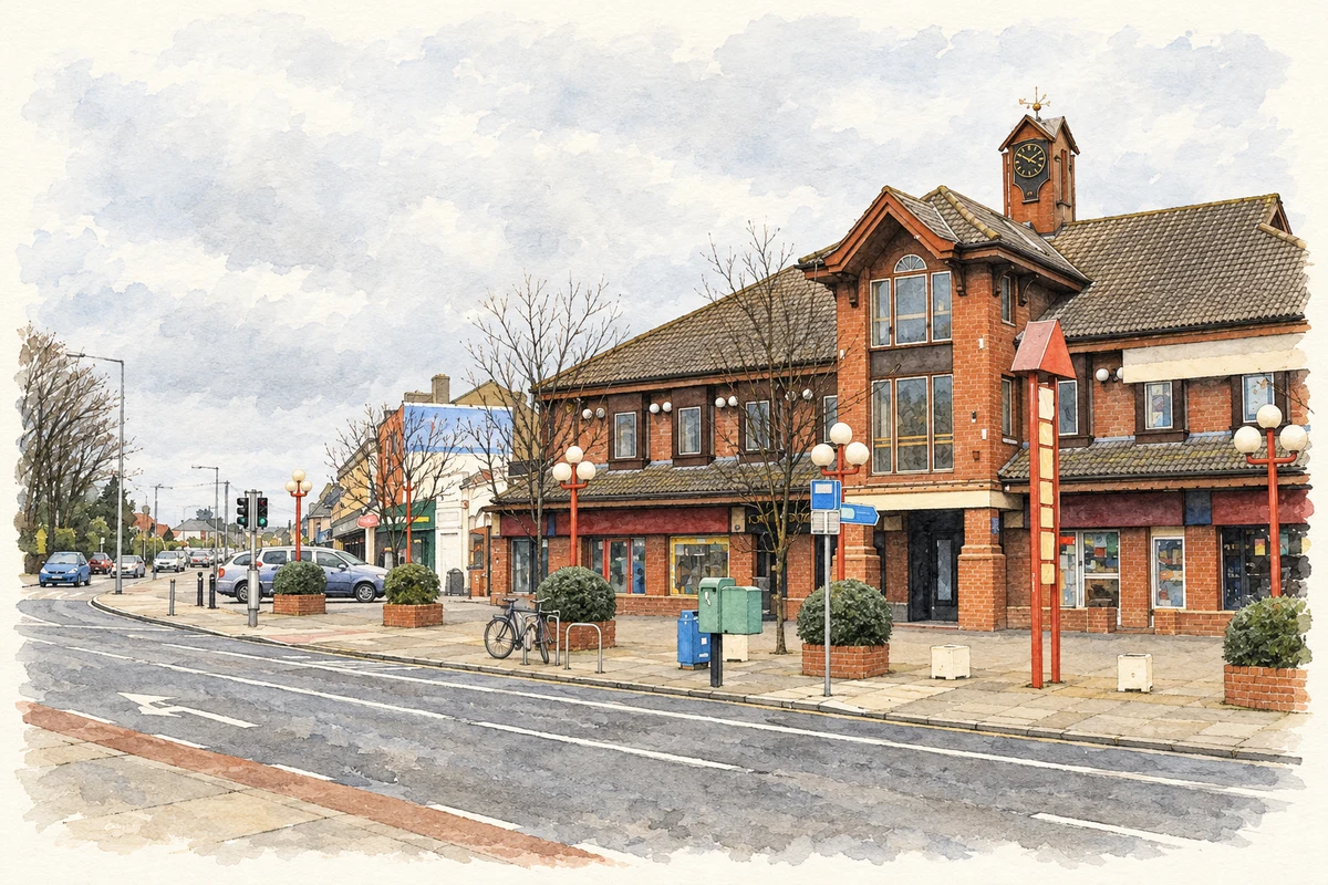
- Howth Road at Killester, as photographed in 2007 illustration: based on a Howth Road, Killester, Dublin by Peter Gerken. AI-assisted watercolour and ink adaptation; cream paper margins added, incidental clutter omitted and fine details simplified. Licence: CC BY-SA 2.0.
Name record retrieved 2026-10-25 · Source record modified 2026-07-20. How this page was prepared.