 placenames
Clipperstown
Baile Clipper
Salt manufacture and rail transport shaped Clipperstown’s working landscape beside Woodburn Road.
The name
These Irish name elements are associated with this record in the Logainm glossary.
An element’s translation is a clue, rather than a complete explanation of the name. Its form and meaning depend on local history and the full Irish name.
Recorded forms
- Baile Clipper · Irish · main form · non-validated name
- Clipperstown · English · main form
Place & story
Salt pans beside the railway
Alexander Miscampbell established salt pans at Clipperstown in 1887. A railway siding carried the finished product from the Woodburn Road works to markets across Ireland. Initially, rock salt arrived by horse and cart and was dissolved in water; later, brine from French Park and Maiden Mount flowed through pipes to a large elevated storage tank, from which it fed the evaporating pans. [2]
The sound and heat of the works
Caroline Nicholson’s mining history preserves workers’ memories of Clipperstown. M. McDowell recalled the Saturday noise of men chipping deposits from the salt pans. E. Hunter described teams bagging, weighing and sewing sacks for dispatch. Heat from coal-fired furnaces evaporated the brine, and steam escaped through gaps in the roof. The works finally closed in November 1958; their buildings were demolished during the following decade. [2]
The railway halt
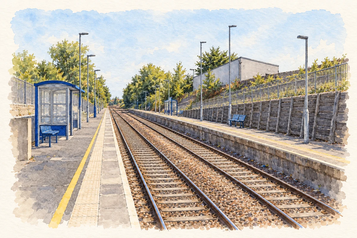
Clipperstown station opened in 1925 as a modest halt with short platforms and corrugated-iron shelters. Albert Bridge’s railway record describes its connection with the nearby industrial system: sidings served the salt works, and the harbour branch diverged on the Belfast side. His 2006 account records longer platforms and replacement shelters, showing how the passenger halt outlasted the salt-manufacturing landscape beside it. [3]
Geographic information
- Place type
- Population centre
- County
- Antrim
- Barony
- Carrickfergus
- Civil parish
- Carrickfergus
- Within
- Carrickfergus
- Coordinates
- 54.71662, -5.81693
- Logainm ID
- 1410586 ↗
Sources & further reading
- Logainm.ie — Clipperstown. Place names and geographic record, licensed under CC BY 4.0.
- Salt mines in the Carrickfergus area of County Antrim, Journal14, pages15–18 · Caroline A. Nicholson, Mining Heritage Trust of Ireland
- Clipperstown station, Carrickfergus: photograph and railway description, 29 September 2006 · Albert Bridge
- Clipperstown railway station illustration: based on a Clipperstown Railway Station by Rossographer. AI-assisted watercolour and ink adaptation; cream paper margins added, incidental clutter omitted and fine details simplified. Licence: CC BY-SA 2.0.
Name record retrieved 2026-10-25 · Source record modified 2026-05-20. How this page was prepared.