A reliable full-name meaning has not been established here. The recorded Irish and English forms are given without an unsupported translation.
Recorded forms
Lú· Irish · main form · validated name
Louth· English · main form
Place & story
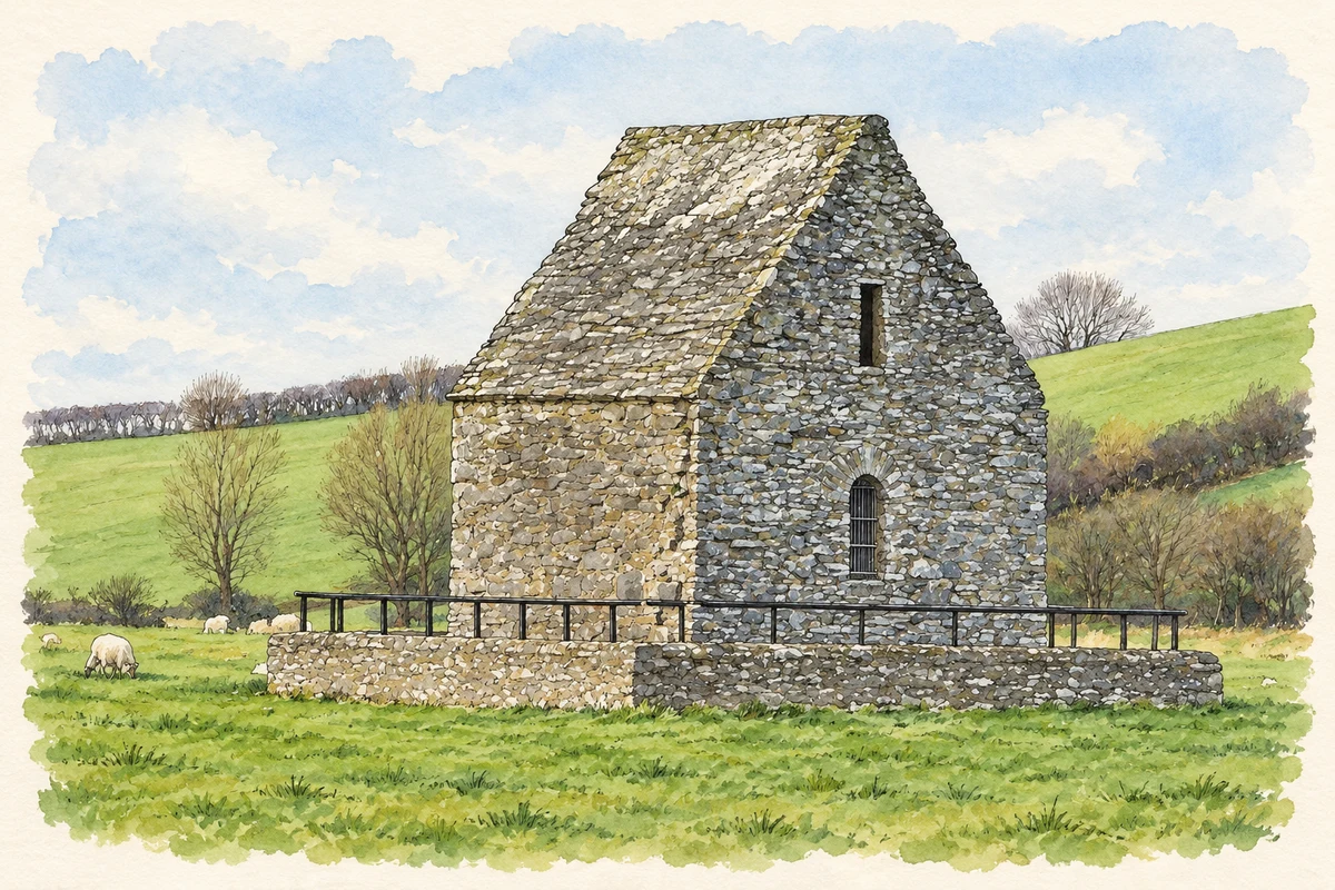
The stone roof of Saint Mochta's House
Saint Mochta's House probably dates from the second half of the twelfth century. Its stone roof makes it a distinctive survivor beside the ruined church of Saint Mary's Augustinian Priory, whose visible fabric belongs to the medieval period. Extensive restoration was undertaken in 1934. The small building's traditional name connects it with the early saint, but the structure itself was built many centuries after his lifetime. The pairing of an enclosed, roofed oratory with the larger open ruins preserves two very different medieval buildings within the same religious landscape.[2]
A monastery of scholars
The monastery at Louth was associated with Mochta, traditionally a British disciple of Patrick. John Healy's account brings together annalistic references to its scholars and repeated damage during the medieval centuries. Among the named figures is Molassius, a lector whose death was recorded in 1047. The settlement suffered destruction again in 1148, but the monastery was rebuilt and continued until the general suppression of religious houses. These references reveal a community whose educational and religious work persisted through several cycles of attack, loss and reconstruction.[3]
Folklore & tradition
A stream that followed the saint
In the traditions retold by Healy, a stream followed Mochta from his earlier monastery at Kilmore to the meadows of Louth, where he established his cell. Another story explains why Patrick did not choose Louth for his own principal church. An angel directed him north to Armagh, declaring that Louth was reserved for a pilgrim from Britain. Patrick later visited Mochta, and the two agreed that the survivor would care for the other's community. These saintly stories connect water, place and personal friendship with the remembered relationship between Louth and Armagh.[3]
Both counts use the 2016 settlement boundary, allowing like-for-like comparison. CSO supplies the 2022 count on this older boundary for comparison only. The official 2022 Built Up Area has different boundaries.
View population figures
Louth — Census 2016 settlement footprint — census population
These are the historical areas published in the 2006 census report. Boundaries may differ between censuses and from modern settlements. Legal towns, environs and suburbs are shown separately; none has been combined into a modern settlement total.
View population figures
Louth, Louth — Census town, CSO 2006 report — census population
These are the historical areas published in the 1996 census report. Boundaries may differ between censuses and from modern settlements. Legal towns, environs and suburbs are shown separately; none has been combined into a modern settlement total.
View population figures
Louth, Louth — Census town, CSO 1996 report — census population
Figures cover the historical town area printed in the 1986 report. Boundaries may have changed between censuses. Legal town, environs and suburb totals remain separate and differ from modern settlement boundaries.
View population figures
Louth, Louth — Census town, CSO 1986 report — census population
These figures use different area definitions. Read the boundary note before comparing them.
Louth, Louth
Published census settlement populations
735people · 2016
Settlement boundaries changed during this period. Differences may reflect boundary changes as well as population change. Where a 2011 legal-town-and-environs count is shown, it has not been recalculated onto the 2016 settlement boundary.
 placenames