 placenames
Bundrowes
Bun Drobhaoise
A Drowes river-mouth locality with a recorded medieval castle and connections to the Franciscan annalists.
The name
These Irish name elements are associated with this record in the Logainm glossary.
An element’s translation is a clue, rather than a complete explanation of the name. Its form and meaning depend on local history and the full Irish name.
Recorded forms
- Bun Drobhaoise · Irish · main form · non-validated name
- Bundrowes · English · main form
Place & story
A castle recorded in 1420
The Annals of Connacht record the building of Bundrowes Castle by Brian Ó Conchobhair in 1420. The entry also describes an Ulster army trying unsuccessfully to obstruct construction. That account places the castle within the rivalry of neighbouring Gaelic powers. Its location at the mouth of the Drowes gave it a position on the boundary between the territories associated with Carbury and Tír Conaill. [2]
What excavation found beside the lost castle
In 1998, Stephen Gilmore investigated Fishery Cottage on the island at the river mouth, about 40 metres south of the recorded castle site. No castle walls were visible above ground. The trenches revealed cobbling, a nineteenth-century wall and a shell-rich deposit containing animal remains and a possible iron knife. The report considered a connection with the castle possible, but left the deposit’s date unresolved. It also noted dressed stones reused in the cottage walls. [3]
Bundrowes and the Franciscan annalists
The name Bundrowes also belongs to a Franciscan house of refuge in Magheracar, farther east towards Bundoran. The Irish Franciscans identify this as the community established after the destruction of Donegal Friary in 1601 and as Mícheál Ó Cléirigh’s base while compiling the Annals of the Four Masters in 1632–36. The friary site and the river-mouth castle are distinct places, connected through the historical name and the wider Magheracar landscape. [4]
Geographic information
Sources & further reading
- Logainm.ie — Bundrowes. Place names and geographic record, licensed under CC BY 4.0.
- Annála Connacht: annal 1420, entry 3 · University College Cork, CELT; translation by A. Martin Freeman
- 1998:109 Fishery Cottage, Magheracar, licence 98E0256 · Stephen Gilmore, Northern Archaeological Consultancy
- The Convent of Donegal at Bundrowes in Magheracar · Irish Franciscans; compiled by Éamon Ó Caoineachán
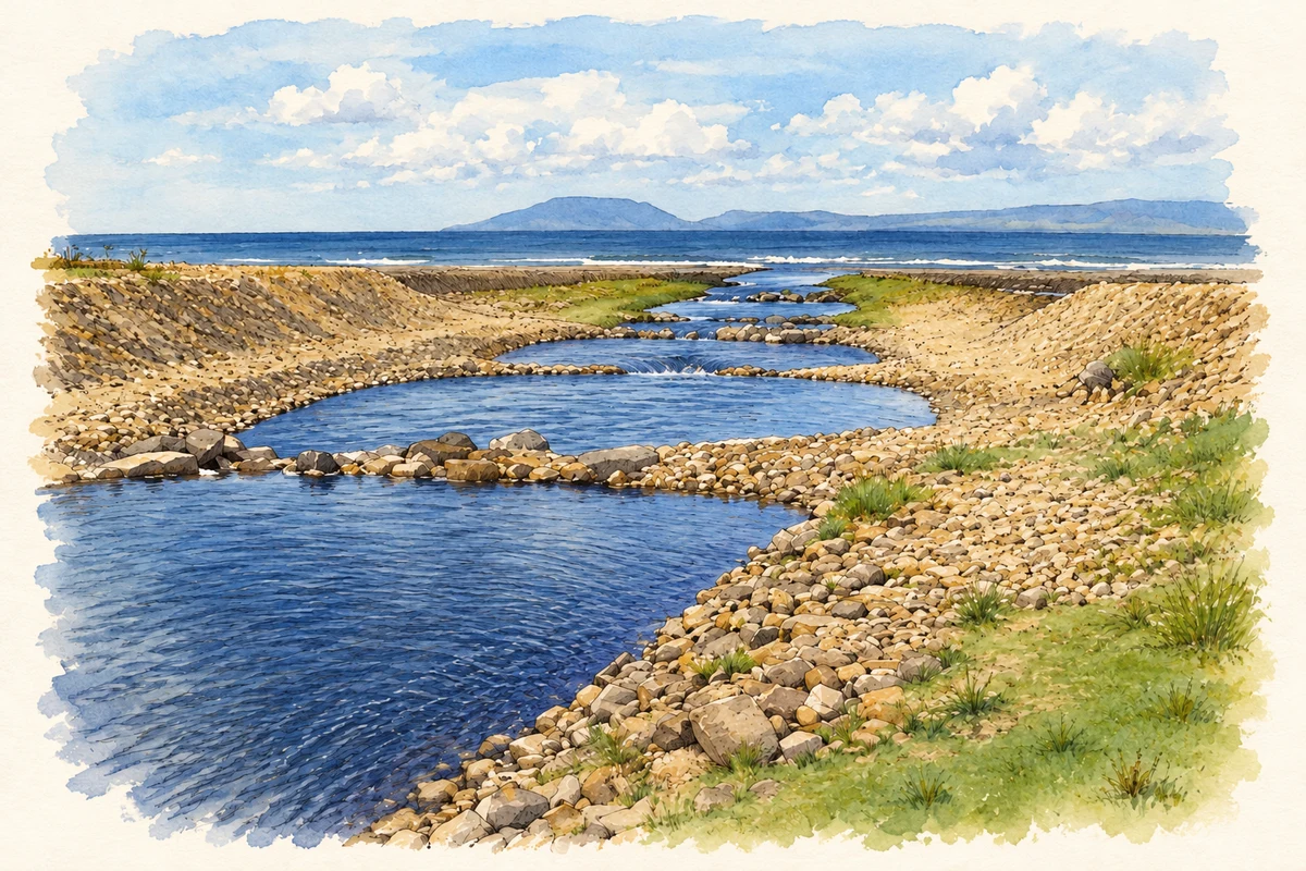
- Drowes River mouth, Bundrowes illustration: based on a Fishing near An Tulachan / Tullaghan by louise price. AI-assisted watercolour and ink adaptation; cream paper margins added, incidental clutter omitted and fine details simplified. Licence: CC BY-SA 2.0.
Name record retrieved 2026-10-25 · Source record modified 2025-12-19. How this page was prepared.