A reliable full-name meaning has not been established here. The recorded Irish and English forms are given without an unsupported translation.
Recorded forms
Aontroim· Irish · main form · validated name
Antrim· English · main form
Place & story
Water and manufacture
Antrim stands on the Six Mile Water near the north-eastern corner of Lough Neagh. Lewis describes two principal streets, stone houses and older timber-framed buildings with projecting upper floors. Paper manufacture was a major enterprise: mills first established around 1776 were rebuilt after a fire and equipped with machinery. Brewing, grain storage, flour and meal milling, bleaching and domestic weaving added to the industrial mix. The lake and connected waterways offered transport, although Lewis still found the town's grain market small.[2]
People & connections
Henry Joy McCracken at Antrim
On 7 June 1798, Henry Joy McCracken led United Irish insurgents against the troops and yeomanry holding the town. The Museum of the American Revolution's account describes the attack, the arrival of government reinforcements and the ensuing rebel retreat. McCracken's local connection is his command in this battle: he was born in Belfast and was subsequently captured and executed there. The museum also records a green coat traditionally identified by his descendants as the one he wore at Antrim, an object whose family attribution is part of its history.[3]
The Steeple
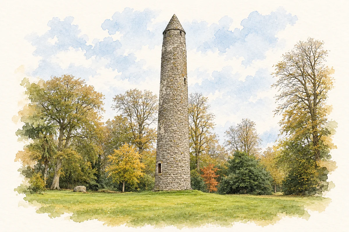
The round tower north of the town is a separate witness to the locality's ecclesiastical past. Lewis records its raised doorway, carved cross and conical cap, together with bones and foundations discovered around its base. His description also notices a nearby basalt rock containing two basin-like hollows.[2]
Folklore & tradition
The builder's extraordinary descent
In the second volume of Traces of the Elder Faiths of Ireland, published in 1901, W. G. Wood-Martin records a tradition that the tower was built by a supernatural old woman. Once her work was finished, she leapt towards a nearby stone and stumbled on landing. One knee and one elbow supposedly made its two hollows. He also records the belief that these basins never lacked water. Wood-Martin names no individual storyteller for this version.[4]
Both censuses use the same 2015 settlement boundary. These exact counts cover usual residents in the settlement, rather than local government districts or historic counties. Other NISRA tables may use approximate counts.
View population figures
ANTRIM — Settlement 2015 (N11000001) — census population
These are the town figures printed in the historical census reports, separate from the surrounding rural district and modern settlement. Some historical towns had no fixed boundary; a consistent footprint across years is not assumed.
View population figures
Antrim — historical census town — census population
The census used a grid rectangle around the built-up area, rather than today’s settlement boundary. The 1981 figures are as enumerated, without adjustment for non-enumeration. These counts remain separate from later settlement totals.
View population figures
Antrim — census rectangle J140855 to J180892 — census population
The published 2001 KS01 settlement count uses an earlier geography and disclosure-control methods. It is not rebased to the 2015 settlement used for 2011 and 2021. The geographic matching file can contain a different 2001 count; the figure shown here comes from KS01.
View population figures
Antrim — KS01 Settlement (2005 geography) — census population
Antrim Round Tower illustration: based on a reference photograph by Brian Shaw. AI watercolour/ink adaptation; margins added, road removed, fine details simplified. Licence: CC BY-SA 2.0.
 placenames