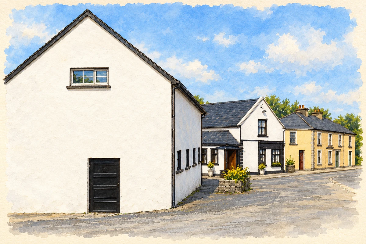
A reliable full-name meaning has not been established here. The recorded Irish and English forms are given without an unsupported translation.
Recorded forms
Eidhneach· Irish · main form · validated name
Inagh· English · main form
Place & story
The church built in 1858
Inagh’s Church of the Immaculate Conception was built in 1858 during the ministry of Father Thomas Quinn. Local parish historian Ronan Hegarty records that Quinn served Inagh and Kilnamona from 1841 to 1870, building a church at Kilnamona as well as the one at Inagh. His work belonged to a period of investment in parish buildings despite the severe hardship experienced locally. The church remains one of the village’s principal links with that mid-nineteenth-century community.[2]
People & connections
An appeal during the Great Famine
In a letter dated 3 February 1847, Quinn asked relief officials to obtain food for his parishioners. He reported growing illness and explained that he and his assistant were occupied attending sick and dying people, leaving them unable to attend relief committee meetings. The letter, reproduced by Hegarty from the Clare Journal, gives a direct contemporary account of the difficulties facing this rural parish. It records both the need for food and the obstacles to organising help.[2]
A devotional landscape at Drumanure
Saint Flannan’s Well at nearby Drumanure occupies a larger devotional site with a path for making rounds, Stations of the Cross, small handmade grottoes and a shelter. Michael Houlihan’s field survey for the County Clare Heritage Office also records mature trees, including an ash locally called the unusual tree. An 1839 Ordnance Survey namebook noted both a well and a burial ground in the townland, although the latter does not appear on the 1842 map. The place combines recorded historical features with structures maintained by local people.[3]
Both counts use the 2016 settlement boundary, allowing like-for-like comparison. CSO supplies the 2022 count on this older boundary for comparison only. The official 2022 Built Up Area has different boundaries.
View population figures
Inagh — Census 2016 settlement footprint — census population
These are the historical areas published in the 2006 census report. Boundaries may differ between censuses and from modern settlements. Legal towns, environs and suburbs are shown separately; none has been combined into a modern settlement total.
View population figures
Inagh, Clare — Census town, CSO 2006 report — census population
These figures use different area definitions. Read the boundary note before comparing them.
Inagh, Clare
Published census settlement populations
210people · 2016
Settlement boundaries changed during this period. Differences may reflect boundary changes as well as population change. Where a 2011 legal-town-and-environs count is shown, it has not been recalculated onto the 2016 settlement boundary.
 placenames