These Irish name elements are associated with this record in the Logainm glossary.
An element’s translation is a clue, rather than a complete explanation of the name. Its form and meaning depend on local history and the full Irish name.
Recorded forms
Gleann Fhaidhle· Irish · main form · validated name
Glenealy· English · main form
Place & story
Trades remembered in the village
Richard Jack's account of industry in Glenealy describes two bakeries, several shoemakers, a carpenter and blacksmiths in the later nineteenth century. He records furze bundles used to heat baking ovens and identifies the sites of individual workshops. His account also follows John Dean's sawmill from Cloragh to Glenealy during the First World War, with timber working continuing until 1960. These details connect the village to everyday production and woodland labour, while preserving local recollections of workplaces whose former uses are no longer obvious.[2]
Building Saint Joseph’s
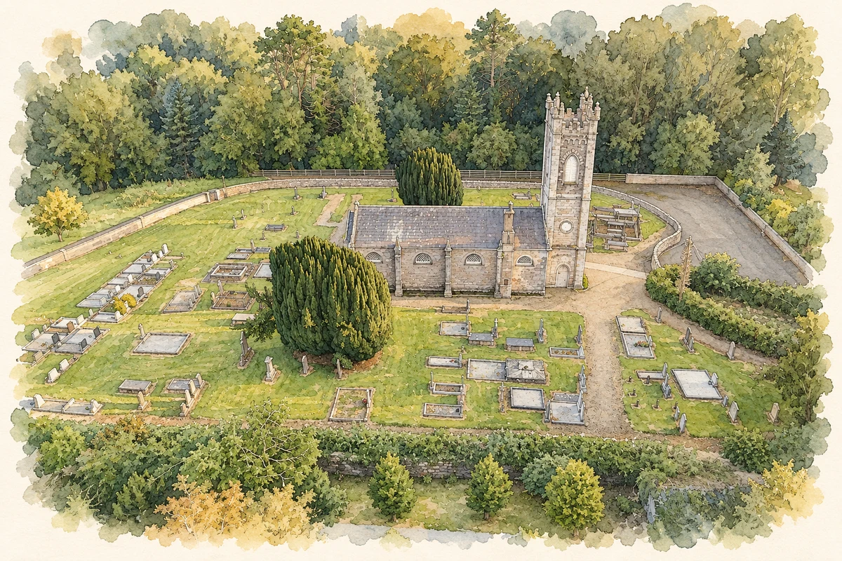
An Irish Builder report of November 1868 describes Saint Joseph's Catholic Church while construction was underway to designs by Pugin and Ashlin. It records a nave, transepts, chancel and sacristy, with granite dressings worked by John Brady of the Ballyknocken quarries. A contemporary Freeman's Journal report describes the dedication in October 1869. These accounts distinguish the design and building process from the later ceremony of opening the church. They also identify local stoneworking as part of a project usually remembered through its architects and clergy.[3]
A station on a continuing railway
Glenealy's community heritage survey records the closure of its railway station on 17 March 1964, although the railway itself continued through the village. The former station house later became a private dwelling. The survey also recalls wartime guests arriving by train for the nearby Kilmacurragh Park Hotel and completing their journey by pony and trap. This local transport history links the station to tourism and road connections as well as to the main railway. Closing a village station did not necessarily mean removing the route that passed through it.[4]
Both counts use the 2016 settlement boundary, allowing like-for-like comparison. CSO supplies the 2022 count on this older boundary for comparison only. The official 2022 Built Up Area has different boundaries.
View population figures
Glenealy — Census 2016 settlement footprint — census population
These are the historical areas published in the 2006 census report. Boundaries may differ between censuses and from modern settlements. Legal towns, environs and suburbs are shown separately; none has been combined into a modern settlement total.
View population figures
Glenealy, Wicklow — Census town, CSO 2006 report — census population
These are the historical areas published in the 1996 census report. Boundaries may differ between censuses and from modern settlements. Legal towns, environs and suburbs are shown separately; none has been combined into a modern settlement total.
View population figures
Glenealy, Wicklow — Census town, CSO 1996 report — census population
Figures cover the historical town area printed in the 1986 report. Boundaries may have changed between censuses. Legal town, environs and suburb totals remain separate and differ from modern settlement boundaries.
View population figures
Glenealy, Wicklow — Census town, CSO 1986 report — census population
These figures use different area definitions. Read the boundary note before comparing them.
Glenealy, Wicklow
Published census settlement populations
694people · 2016
Settlement boundaries changed during this period. Differences may reflect boundary changes as well as population change. Where a 2011 legal-town-and-environs count is shown, it has not been recalculated onto the 2016 settlement boundary.
 placenames