Kilmacanogue’s lanes and surviving street furniture reveal the village before road widening, while Glencormac recalls a lost country house and its gardens.
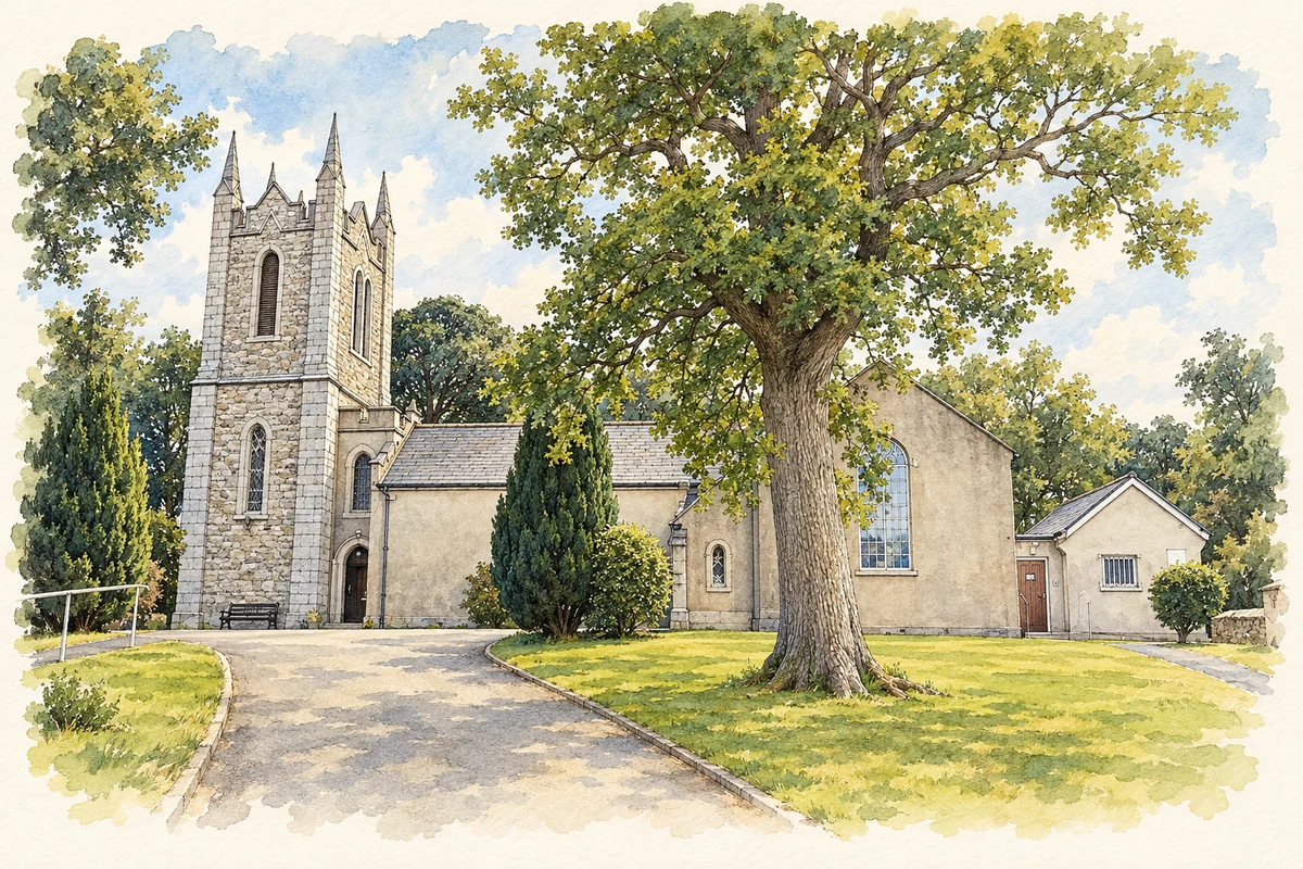
Illustration, St Mochonog's Church, Kilmacanogue, County Wicklow
⊕Recorded locationKilmacanoge53.16987° N · 6.14361° WInteractive map supplied by OpenStreetMap.
These Irish name elements are associated with this record in the Logainm glossary.
An element’s translation is a clue, rather than a complete explanation of the name. Its form and meaning depend on local history and the full Irish name.
Recorded forms
Cill Mocheanóg· Irish · main form · validated name
Kilmacanoge· English · main form
Kilmacanogue· English · main form · local name
Place & story
The route before the main road moved
Quill Road towards Kilmurray formed part of the old Dublin–Wexford route before a realignment after 1812. The Wicklow Uplands heritage trail identifies a surviving milestone near a stream, reused as a gate pier. It marked thirteen Irish miles from Dublin, about 26.6 kilometres. This modest roadside object helps locate an earlier journey through the village. The local inn was first licensed to John Pluck in 1822, later passing through several names and owners. Its twentieth-century association with Patrick Sweeney explains the familiar local name Sweeney's Pub.[2]
Glencormac and the Jameson family
James Jameson commissioned Glencormac House in 1877–78, with architects Millar and Symes and contractors J. and W. Beckett. C. Love's history of the estate, drawing on contemporary architectural and gardening publications, describes a red-brick residence with extensive gardens. The house later became a hotel, before a fire in March 1967 led to its demolition. Its garden landscape survived more substantially than the building. The history also records a tradition that the song Robin Adair was composed beneath old yews on the estate; this is a local attribution, not a securely established account of the song's authorship.[3]
A small survivor of the postal service
The hexagonal Penfold letter box on the Roundwood road belongs to a design introduced in the 1860s. According to the heritage trail, this example was moved to Kilmacanogue in 1910 and refurbished in 2011. The village's first post office had been commissioned in 1864, with John Doyle appointed postmaster. Later postal premises moved across the main road and again after demolition for road widening in 1985. The letter box therefore recalls a public service whose buildings and position changed as traffic reshaped the village.[2]
Both counts use the 2016 settlement boundary, allowing like-for-like comparison. CSO supplies the 2022 count on this older boundary for comparison only. The official 2022 Built Up Area has different boundaries.
View population figures
Kilmacanogue — Census 2016 settlement footprint — census population
Kilmacanogue, Wicklow — Census town, CSO 2006 report
2002–2006: census town
839people · 2006
These are the historical areas published in the 2006 census report. Boundaries may differ between censuses and from modern settlements. Legal towns, environs and suburbs are shown separately; none has been combined into a modern settlement total.
View population figures
Kilmacanogue, Wicklow — Census town, CSO 2006 report — census population
Kilmacanogue, Wicklow — Census town, CSO 1996 report
1991–1996: census town
818people · 1996
These are the historical areas published in the 1996 census report. Boundaries may differ between censuses and from modern settlements. Legal towns, environs and suburbs are shown separately; none has been combined into a modern settlement total.
View population figures
Kilmacanogue, Wicklow — Census town, CSO 1996 report — census population
Kilmacanogue, Wicklow — Census town, CSO 1986 report
1981–1986: census town
462people · 1986
Figures cover the historical town area printed in the 1986 report. Boundaries may have changed between censuses. Legal town, environs and suburb totals remain separate and differ from modern settlement boundaries.
View population figures
Kilmacanogue, Wicklow — Census town, CSO 1986 report — census population
These figures use different area definitions. Read the boundary note before comparing them.
Kilmacanogue, Wicklow
Published census settlement populations
1,042people · 2016
Settlement boundaries changed during this period. Differences may reflect boundary changes as well as population change. Where a 2011 legal-town-and-environs count is shown, it has not been recalculated onto the 2016 settlement boundary.
St Mochonog's Church, Kilmacanogue, County Wicklow illustration: based on a St Mochoemog's Church and parish office by A.-K. D.. AI-assisted watercolour and ink adaptation; cream paper margins added, incidental clutter omitted and fine details simplified. Licence: CC BY-SA 4.0.
 placenames