Rathnew's irregular old village and neighbouring estates tell different stories of how the settlement grew, with Tinakilly linking it to global telegraphy.
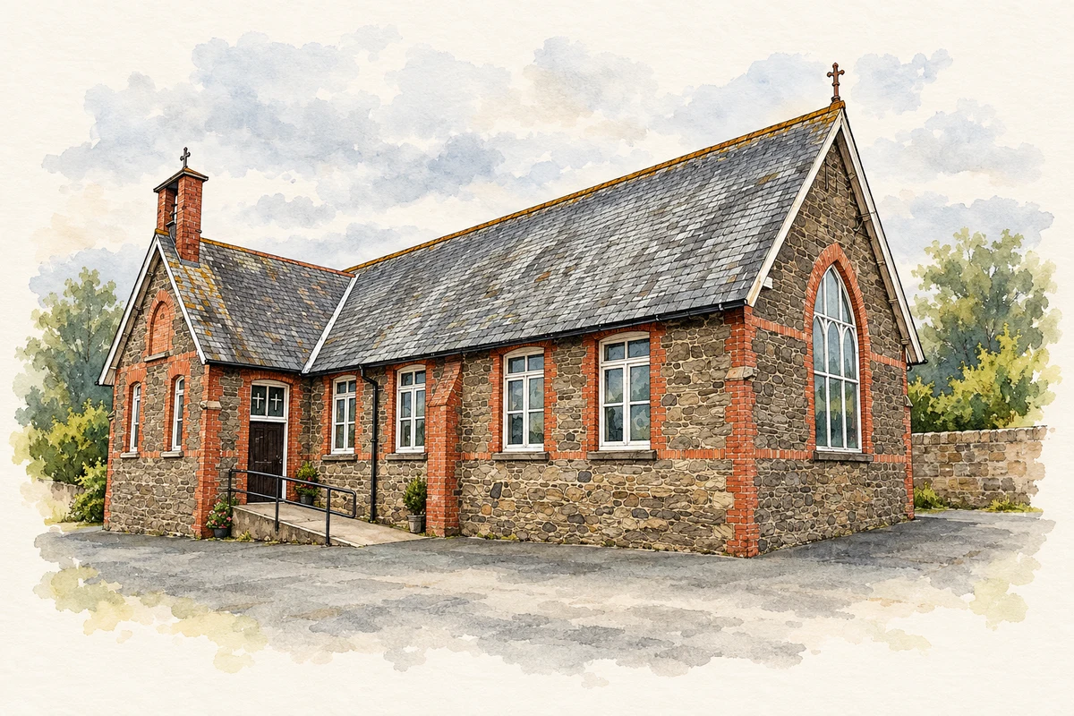
Illustration, St Joseph's Church, Rathnew, County Wicklow
⊕Recorded locationRathnew52.99219° N · 6.08204° WInteractive map supplied by OpenStreetMap.
These Irish name elements are associated with this record in the Logainm glossary.
An element’s translation is a clue, rather than a complete explanation of the name. Its form and meaning depend on local history and the full Irish name.
Recorded forms
Ráth Naoi· Irish · main form · validated name
Rathnew· English · main form
Place & story
The village on the commons
Wicklow County Council's local area plan describes Rathnew as a settlement that developed in two contrasting parts. To the north were estates associated with Clermont and Tinakilly houses; farther south, the old village grew on Rathnew Commons. Development on the commons followed no single formal plan. Houses faced different directions, varied in size and were joined by a complex network of lanes. The village street near the bridge linked the two areas. That history helps explain a street pattern quite different from a deliberately laid-out estate town.[2]
People & connections
Captain Halpin’s retirement at Tinakilly
Robert Charles Halpin was born in Wicklow town in 1836 and went to sea aged eleven. His later connection with Rathnew came through his home at Tinakilly. Maritime historian Jim Rees describes Halpin's work aboard the Great Eastern laying telegraph cables during the 1860s and 1870s, linking distant continents. Halpin accumulated a fortune and moved into a gradual retirement while remaining involved in Wicklow affairs. The distinction matters locally: Rathnew was the location of his country house, while his birthplace was the neighbouring port town.[3]
A house designed by James Franklin Fuller
Tinakilly House was designed for Halpin by James Franklin Fuller, with Henry Sharpe as builder and A. Moyna responsible for plasterwork. The architectural account reproduced by Wicklow Heritage describes a two-storey country house over a basement, with attic dormers and an entrance framed in rusticated granite. Later extensions accompanied its conversion to hotel use. Halpin's daughter Bella remained associated with the property until her death in 1956, even after its sale. The house preserves the domestic side of a career usually remembered through ships and cables.[4]
Both counts use the 2016 settlement boundary, allowing like-for-like comparison. CSO supplies the 2022 count on this older boundary for comparison only. The official 2022 Built Up Area has different boundaries.
View population figures
Rathnew — Census 2016 settlement footprint — census population
These are the historical areas published in the 2006 census report. Boundaries may differ between censuses and from modern settlements. Legal towns, environs and suburbs are shown separately; none has been combined into a modern settlement total.
View population figures
Rathnew, Wicklow — Census town, CSO 2006 report — census population
These are the historical areas published in the 1996 census report. Boundaries may differ between censuses and from modern settlements. Legal towns, environs and suburbs are shown separately; none has been combined into a modern settlement total.
View population figures
Rathnew, Wicklow — Census town, CSO 1996 report — census population
Figures cover the historical town area printed in the 1986 report. Boundaries may have changed between censuses. Legal town, environs and suburb totals remain separate and differ from modern settlement boundaries.
View population figures
Rathnew, Wicklow — Census town, CSO 1986 report — census population
These figures use different area definitions. Read the boundary note before comparing them.
Rathnew, Wicklow
Published census settlement populations
3,370people · 2016
Settlement boundaries changed during this period. Differences may reflect boundary changes as well as population change. Where a 2011 legal-town-and-environs count is shown, it has not been recalculated onto the 2016 settlement boundary.
St Joseph's Church, Rathnew, County Wicklow illustration: based on a Rathnew - St Joseph's Church - 20200910185918 by Jonjobaker (Jonathan Baker). AI-assisted watercolour and ink adaptation; cream paper margins added, incidental clutter omitted and fine details simplified. Licence: CC BY-SA 4.0.
 placenames