These Irish name elements are associated with this record in the Logainm glossary.
An element’s translation is a clue, rather than a complete explanation of the name. Its form and meaning depend on local history and the full Irish name.
Recorded forms
Baile Nua na hArda· Irish · main form · validated name
Newtownards· English · main form
Place & story
A building with several civic lives
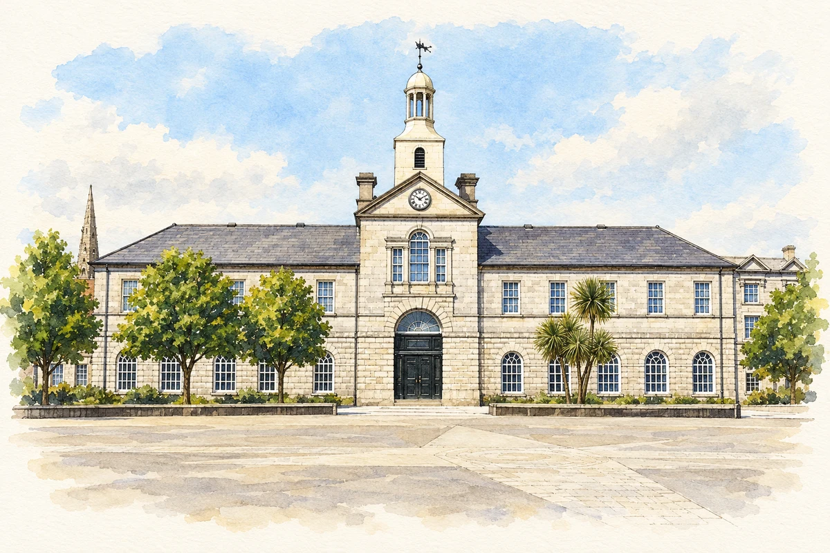
Conway Square’s market house was constructed in 1770, according to the council’s visitor history. It subsequently served as the town hall and now houses Ards Arts Centre. Those changes trace a useful civic sequence: exchange and trade, local administration, then cultural activity. The building’s historical importance comes from this repeated public use as well as its architectural presence. A market remains part of the square’s identity, linking the space outside with the purpose for which the building began.[2]
People & connections
Blair Mayne's local memorial
The statue in Conway Square commemorates Robert Blair 'Paddy' Mayne, born in Newtownards on 11 January 1915. His career crossed several fields: he was a lawyer, an Ireland and British Lions rugby international, and a founding member of the Special Air Service. During the Second World War he received the Distinguished Service Order and three bars. He died in a road accident in 1955 and was buried in Movilla Abbey graveyard. The square therefore joins civic history with the remembrance of a particular local life.[5]
The priory and the later town
The medieval priory gives another perspective on Newtownards' successive beginnings. The council identifies it as a Dominican foundation of 1244. Hugh Montgomery restored its church in 1607 and added a small chapel, tying an older religious building to the seventeenth-century settlement. The church later fell into disrepair. The Market Cross, dated to 1636, belongs to the trading history of the newer town. These landmarks preserve different phases in the same small area: medieval religion, settlement under Montgomery and the public business of the market.[6]
Both censuses use the same 2015 settlement boundary. These exact counts cover usual residents in the settlement, rather than local government districts or historic counties. Other NISRA tables may use approximate counts.
View population figures
NEWTOWNARDS — Settlement 2015 (N11000040) — census population
The report states that these figures use the district as constituted in 1926. This is a historical urban administrative area, separate from the modern settlement boundary and usual-resident population.
View population figures
Newtownards Urban District — 1926 boundary — census population
The census used a grid rectangle around the built-up area, rather than today’s settlement boundary. The 1981 figures are as enumerated, without adjustment for non-enumeration. These counts remain separate from later settlement totals.
View population figures
Newtownards — census rectangle J470720 to J520760 — census population
The published 2001 KS01 settlement count uses an earlier geography and disclosure-control methods. It is not rebased to the 2015 settlement used for 2011 and 2021. The geographic matching file can contain a different 2001 count; the figure shown here comes from KS01.
View population figures
Newtownards — KS01 Settlement (2005 geography) — census population
Newtownards Market House illustration: based on a reference photograph by Jonathan Billinger. AI-assisted watercolour and fine ink adaptation; warm cream paper margins; incidental clutter removed and architectural details simplified. Licence: CC BY-SA 2.0.
 placenames