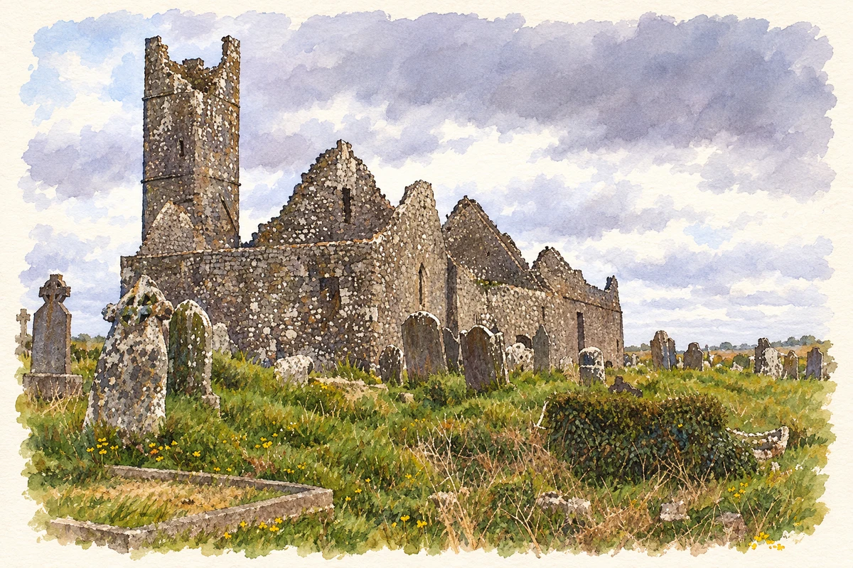
Mungret's surviving churches and former college place early religious settlement beside nineteenth-century experiments in agricultural and Jesuit education.
Illustration, Mungret Abbey ruins
⊕Recorded locationMungret52.63396° N · 8.69581° WInteractive map supplied by OpenStreetMap.
A reliable full-name meaning has not been established here. The recorded Irish and English forms are given without an unsupported translation.
Recorded forms
Mungairit· Irish · main form · validated name
Mungret· English · main form
Place & story
Three churches in a monastic landscape
Mungret's national monument comprises Mungret Abbey, Old Mungret Church and Saint Nessan's Church. The monastery is traditionally associated with Saint Nessan, but the standing buildings belong to later centuries. The abbey's chancel dates to the thirteenth century and its western tower to the fifteenth; Saint Nessan's is the simplest of the surviving churches, with a rectangular plan and small round-headed east window. These differences preserve a long history of rebuilding and changing religious use within one burial landscape.[2]
A model farm with ambitious buildings
Mungret Agricultural School opened in 1858 after trustees acquired land and began construction earlier in the decade. University of Limerick's archive describes a curriculum combining farm work with literary and agricultural subjects, intended to train farmers and teachers. The experiment struggled to attract boarders and closed in 1878. Its large buildings proved difficult models for the small farms it was meant to improve. A short-lived diocesan educational venture followed before the arrival of the Jesuits.[3]
People & connections
William Ronan and the Jesuit college
Father William Ronan helped establish the Jesuit college at Mungret in 1882. The Irish Jesuit Archives distinguish its apostolic school, which prepared boys for missionary priesthood, from its lay secondary school. The apostolic branch lasted until 1967, while secondary teaching continued until 1974. Surviving correspondence, school registers, accounts and photographs document this educational community and Ronan's fundraising work. Its history belongs to the nineteenth-century college, even though the older monastery supplied a powerful local precedent for learning.[4]
The college’s classical front
The main college block retains an imposing formal front, with a central Ionic portico and projecting end bays. The National Inventory of Architectural Heritage records that the portico came from the demolished eighteenth-century house at Tervoe. Farm buildings around the rear courtyard recall the site's agricultural beginnings. This surviving architecture connects the different institutions that occupied Mungret, rather than representing a building conceived solely for the later Jesuit school.[5]
Both counts use the 2016 settlement boundary, allowing like-for-like comparison. CSO supplies the 2022 count on this older boundary for comparison only. The official 2022 Built Up Area has different boundaries.
View population figures
Mungret — Census 2016 settlement footprint — census population
These are the historical areas published in the 2006 census report. Boundaries may differ between censuses and from modern settlements. Legal towns, environs and suburbs are shown separately; none has been combined into a modern settlement total.
View population figures
Mungret, Limerick — Census town, CSO 2006 report — census population
These are the historical areas published in the 1996 census report. Boundaries may differ between censuses and from modern settlements. Legal towns, environs and suburbs are shown separately; none has been combined into a modern settlement total.
View population figures
Mungret, Limerick — Census town, CSO 1996 report — census population
Figures cover the historical town area printed in the 1986 report. Boundaries may have changed between censuses. Legal town, environs and suburb totals remain separate and differ from modern settlement boundaries.
View population figures
Mungret, Limerick — Census town, CSO 1986 report — census population
These figures use different area definitions. Read the boundary note before comparing them.
Mungret, Limerick
Published census settlement populations
277people · 2016
Settlement boundaries changed during this period. Differences may reflect boundary changes as well as population change. Where a 2011 legal-town-and-environs count is shown, it has not been recalculated onto the 2016 settlement boundary.
 placenames