 placenames
Forkill
Foirceal
A public pathway and children’s artwork gave a new community use to part of Forkill’s former military site.
The name
A reliable full-name meaning has not been established here. The recorded Irish and English forms are given without an unsupported translation.
Recorded forms
- Foirceal · Irish · main form · validated name
- Forkill · English · main form
- Forkhill · English · main form · local name
Place & story
Changing a central site
Forkill’s former British Army barracks and watchtower were dismantled during the normalisation process following the Good Friday Agreement. The cleared site then lay derelict for years. In 2017, a project supported by the council and DAERA transformed part of this central village space, installing an 800-metre circular path with lighting, seats and planting. [2] [3]
Children help shape the landscape
Pupils from Saint Oliver Plunkett Primary School contributed designs for artwork installed around the new pathway. Their images drew on the Ring of Gullion landscape and local and national history. The project involved the Forkhill and District Development Association as part of a longer programme to bring the former base into community use. [2]
Geographic information
- Place type
- Population centre
- County
- Armagh
- Barony
- Orior Upper
- Barony
- Orior Lower
- Civil parish
- Forkill
- Coordinates
- 54.08314, -6.45651 (approximate)
- Logainm ID
- 1411645 ↗
Sources & further reading
- Logainm.ie — Forkill. Place names and geographic record, licensed under CC BY 4.0.
- Forkhill Pathway Project Launched, 28 June 2017 · Ring of Gullion Landscape Partnership
- Old Barracks to become Peace Forest, 6 March 2017 · Ring of Gullion Landscape Partnership
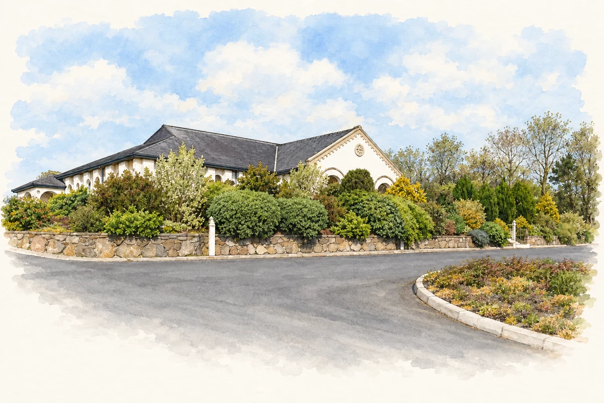
- Saint Oliver Plunkett’s Church, Forkhill, as photographed in 2013 illustration: based on a St Oliver Plunkett's Catholic Church, Forkhill by Eric Jones. AI-assisted watercolour and ink adaptation; cream paper margins added, incidental clutter omitted and fine details simplified. Licence: CC BY-SA 2.0.
Name record retrieved 2026-10-25 · Source record modified 2026-09-19. How this page was prepared.