 placenames
Loughgilly
Loch Goilí
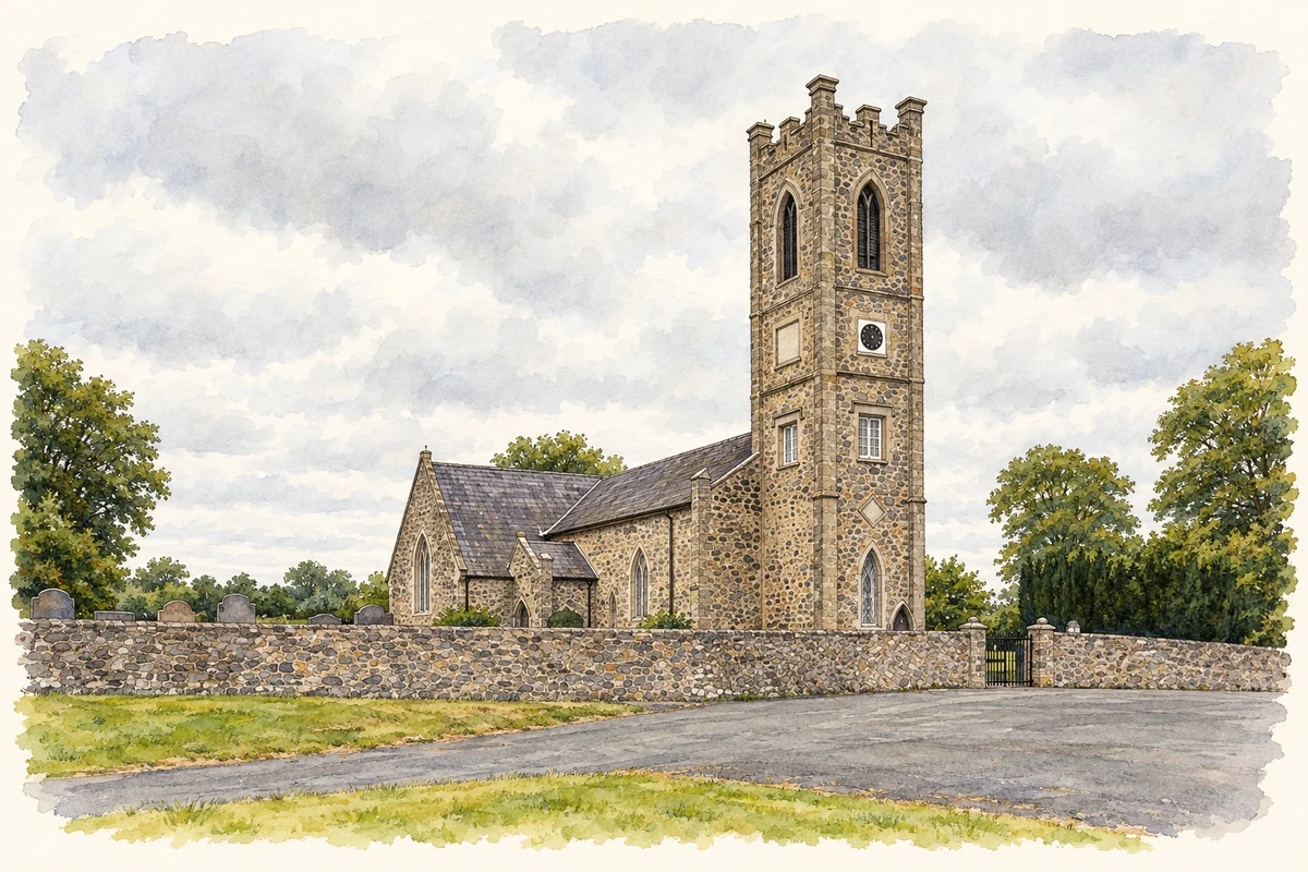
Architectural records trace successive changes to the Church of Ireland building.
The name
These Irish name elements are associated with this record in the Logainm glossary.
An element’s translation is a clue, rather than a complete explanation of the name. Its form and meaning depend on local history and the full Irish name.
Recorded forms
- Loch Goilí · Irish · main form · validated name
- Loughgilly · English · main form
Place & story
An enlarged church
The Irish Architectural Archive records Welland and Gillespie’s addition of transepts in 1863, with Arthur Henry as contractor. Its entry identifies signed drawings dated April that year in the Representative Church Body Library. The church reopened and was consecrated on 29 December 1863; another reopening followed substantial repairs and alterations in 1924. [2]
Geographic information
- Place type
- Population centre
- County
- Armagh
- Barony
- Fews Lower
- Barony
- Orior Upper
- Coordinates
- 54.27214, -6.48016 (approximate)
- Logainm ID
- 1411647 ↗
Sources & further reading
- Logainm.ie — Loughgilly. Place names and geographic record, licensed under CC BY 4.0.
- Dictionary of Irish Architects: Loughgilly, Church of Saint Patrick (CI), work 61320 · Irish Architectural Archive
- Saint Patrick’s Church of Ireland at Loughgilly, as photographed in August 2026 illustration: based on a St Patrick's Church, Loughgilly by Rossographer. AI-assisted watercolour and ink adaptation; cream paper margins added, incidental clutter omitted and fine details simplified. Licence: CC BY-SA 2.0.
Name record retrieved 2026-10-25 · Source record modified 2026-09-19. How this page was prepared.