 placenames
Ballyfermot
Baile Formaid
Buried settlement remains and the rapid building of homes after 1948 tell two very different parts of Ballyfermot’s history.
The name
These Irish name elements are associated with this record in the Logainm glossary.
An element’s translation is a clue, rather than a complete explanation of the name. Its form and meaning depend on local history and the full Irish name.
Recorded forms
- Baile Formaid · Irish · main form · validated name
- Ballyfermot · English · main form
Place & story
Beneath Le Fanu Park
Ballyfermot’s older castle, church and graveyard occupied the area now within Le Fanu Park. Archaeological testing in October 1998, near Le Fanu Road and Raheen Road, uncovered the graveyard boundary wall and human remains inside it. The excavator could not establish a clear date for those burials. Other deposits recorded the landscaping of the churchyard during the 1970s; a rectangular mound marked the church site. [2]
Homes built at speed
Dublin Corporation began building Ballyfermot’s new housing estate in 1948 as part of its response to overcrowded inner-city housing. The work employed a thousand men, using poured concrete to complete a house in about six weeks. Demand far exceeded the initial supply: three thousand applications competed for the first 250 houses, and crowds gathered at the Mansion House for the inaugural allocation draw. [3]
The needs of a new suburb
The building programme continued through the 1950s and into the early 1960s. Dublin City Council’s historical brief records 5,619 houses completed by 1964. Homes often arrived ahead of services and amenities, while commuting costs and higher rents put pressure on household budgets. For families accustomed to close connections in the city centre, the move could bring isolation as well as the benefits of a house and garden. [3]
Residents put forward a plan
An RTÉ report broadcast on 31 March 1971 records Ballyfermot Community Association presenting a development plan at City Hall. The association had commissioned town planner Professor Geoffrey Copcutt to formulate proposals for the district. Copcutt argued for better physical and social provision, expressing residents’ needs through a plan for the area. The report captures an organised community seeking facilities to match its substantial housing population. [4]
Geographic information
- Place type
- Population centre
- County
- Dublin
- Barony
- Uppercross
- Coordinates
- 53.33581, -6.34850 (approximate)
- Logainm ID
- 1411656 ↗
Sources & further reading
- Logainm.ie — Ballyfermot. Place names and geographic record, licensed under CC BY 4.0.
- 1998:120, Ballyfermot Upper, licence98E0367 · Edmond O’Donovan, Excavations.ie
- Sculpture Dublin: Ballyfermot People’s Park artist brief, historical context · Dublin City Council, Sculpture Dublin
- Vision For Ballyfermot1971 · RTÉ Archives; original report Donal Kelly,31 March1971
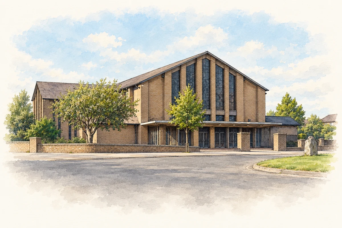
- Our Lady of the Assumption Church, Ballyfermot, Dublin illustration: based on a Our Lady of the Assumption, Ballyfermot (15 September 2007) by Harold Strong. AI-assisted watercolour and ink adaptation; cream paper margins added, incidental clutter omitted and fine details simplified. Licence: CC BY-SA 2.0.
Name record retrieved 2026-10-25 · Source record modified 2011-06-08. How this page was prepared.