 placenames
Ardrahan
Ard Raithin
The village square and neighbouring burial ground preserve evidence of trading, medieval worship and later church building.
The name
These Irish name elements are associated with this record in the Logainm glossary.
An element’s translation is a clue, rather than a complete explanation of the name. Its form and meaning depend on local history and the full Irish name.
Recorded forms
- Ard Raithin · Irish · main form · validated name
- Ardrahan · English · main form
Place & story
The cross in the square
Ardrahan’s market cross consists of a square limestone pillar on a stepped base, capped by an overhanging pyramid and a small cross. Archaeologist Christy Cunniffe places it tentatively in the seventeenth or early eighteenth century. Such monuments marked places where market bargains could be concluded. Its position in the village square connects this surviving structure with Ardrahan’s earlier role as a borough, while the nearby castle ruin and churchyard preserve other elements of the settlement’s historic centre. [2]
The 1809 church
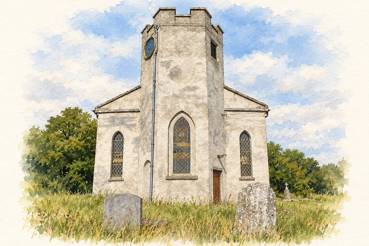
The Church of Ireland church was built in 1809 within a burial ground containing an earlier church ruin and the base of a round tower. Its own design has an unusual hexagonal bell tower and a semicircular eastern apse. Limestone dressings contrast with rendered walls, and the interior includes a timber gallery, carved pulpit, font, memorial plaques and stained glass. The building therefore forms one layer of an older ecclesiastical site rather than its beginning, with architectural details distinguishing it from many simpler contemporary parish churches. [3]
Archaeology beneath the churchyard
Trial trenching for a proposed Sunday school building in June 2012 demonstrated the survival of burials within the churchyard. Archaeologist Anne Carey recorded low stone grave markers after a mound of reused stones and slate was removed under supervision. A single trench then revealed a human skeleton lying east–west about forty centimetres below the surface. The remains were recorded and the trench refilled without further excavation. This limited investigation established that the burial ground extended beneath an area without visible grave markers. [4]
Geographic information
Sources & further reading
- Logainm.ie — Ardrahan. Place names and geographic record, licensed under CC BY 4.0.
- Ardrahan Cross · Christy Cunniffe, Galway Community Archaeology
- Ardrahan Church, record30340003 · National Inventory of Architectural Heritage
- Ardrahan, excavation2012:257, licence12E152 · Anne Carey, Excavations.ie
- Ardrahan Church of Ireland illustration: based on a Ardrahan Church by Fractal Angel. AI-assisted watercolour and ink adaptation; cream paper margins added, incidental clutter omitted and fine details simplified. Licence: CC BY-SA 2.0.
Name record retrieved 2026-10-25 · Source record modified 2021-03-11. How this page was prepared.