 placenames
Clonalvy
Cluain Ailbhe
Clonalvy’s church, graveyard survey and former school preserve several layers of the rural community’s history.
The name
These Irish name elements are associated with this record in the Logainm glossary.
An element’s translation is a clue, rather than a complete explanation of the name. Its form and meaning depend on local history and the full Irish name.
Recorded forms
- Cluain Ailbhe · Irish · main form · validated name
- Clonalvy · English · main form
Place & story
The church at the townland boundary
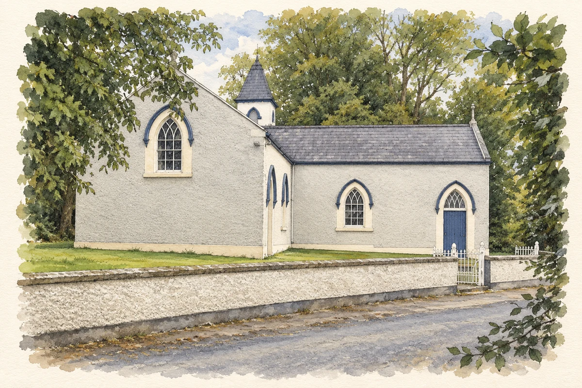
Kieran Campbell’s architectural record dates Clonalvy’s L-plan church to 1799, with enlargement and a new roof in 1820. Its site straddles the boundary between Flemingtown and Beshellstown. The building therefore records both an early phase of Catholic church construction and the expansion of that accommodation in the following generation. [2]
Recording the graveyard
In summer 2021, volunteers from the Ardcath Clonalvy Heritage Society surveyed Clonalvy graveyard in Flemingstown through a Heritage Council-funded training programme. The resulting Historic Graves record lists 170 memorials and provides a contact sheet alongside individual records. This community project created a systematic record of the burial ground and its inscriptions, preserving evidence for the history of families across the surrounding district. [3]
The former national school
Saint Finian’s National School closed in 2019 when no pupils were enrolled for the 2019–2020 school year. Its future reached the Dáil in May 2022, when Darren O’Rourke raised the community’s wish to retain the premises for education. Minister of State Thomas Byrne confirmed that the Department did not own the property and had accepted the termination of its 1953 charging lease. The debate records the effort to secure a new educational use for the building. [4]
Geographic information
- Place type
- Population centre
- County
- Meath
- Barony
- Duleek Upper
- Coordinates
- 53.58752, -6.35380 (approximate)
- Logainm ID
- 1411752 ↗
Sources & further reading
- Logainm.ie — Clonalvy. Place names and geographic record, licensed under CC BY 4.0.
- Church at Clonalvy, County Meath, 2 September2007 · Kieran Campbell
- Clonalvy graveyard: summer2021community survey · Ardcath Clonalvy Heritage Society, Historic Graves
- Dáil Éireann, School Enrolments, 26 May2022, pages975–977 · Houses of the Oireachtas
- Church at Clonalvy illustration: based on a Church at Clonalvy, Co. Meath by Kieran Campbell. AI-assisted watercolour and ink adaptation; cream paper margins added, incidental clutter omitted and fine details simplified. Licence: CC BY-SA 2.0.
Name record retrieved 2026-10-25 · Source record modified 2025-01-10. How this page was prepared.