These Irish name elements are associated with this record in the Logainm glossary.
An element’s translation is a clue, rather than a complete explanation of the name. Its form and meaning depend on local history and the full Irish name.
Recorded forms
Cluain Tiobrad· Irish · main form · validated name
Clontibret· English · main form
Place & story
A parish remembered for 1595
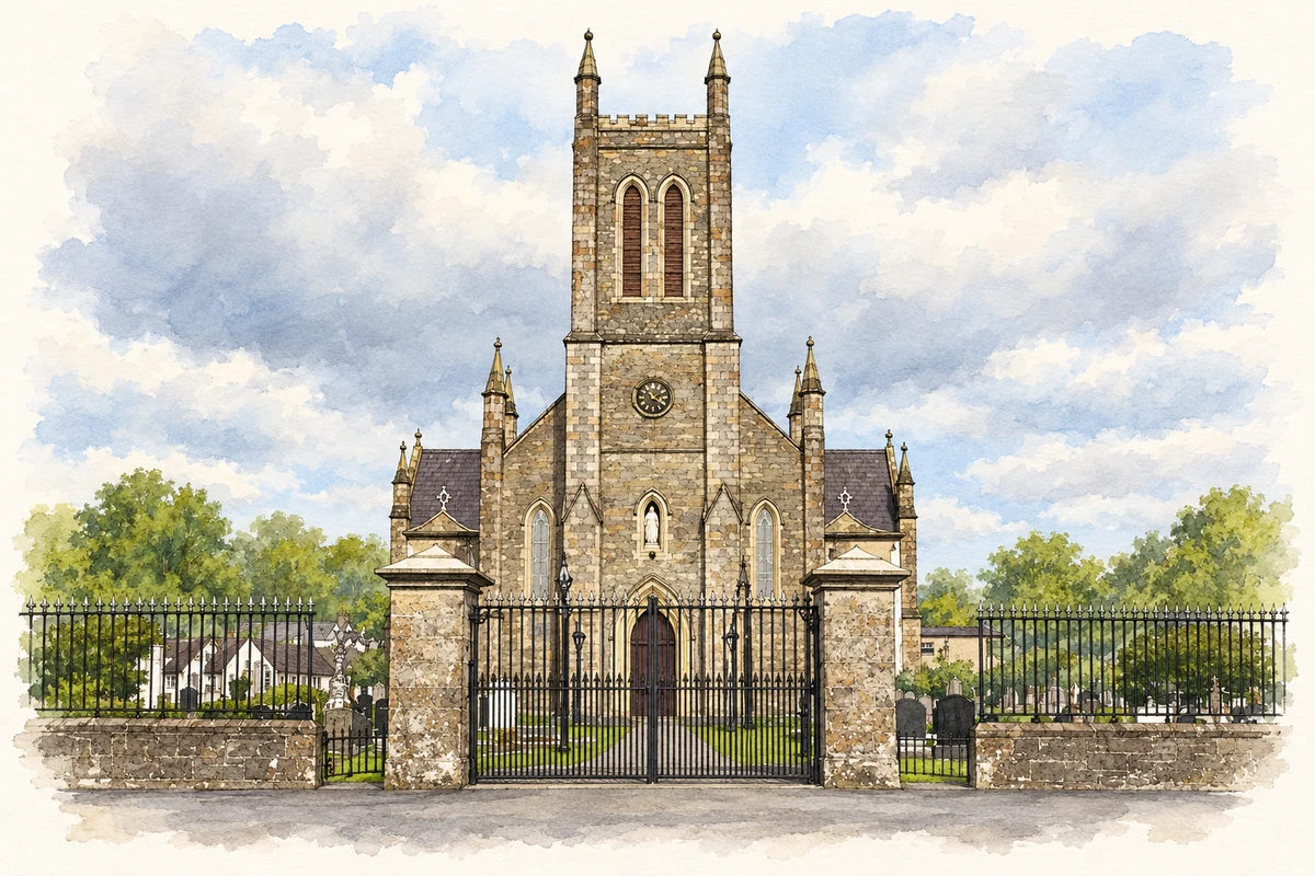
The Battle of Clontibret in 1595 brought victory to Hugh O’Neill’s forces over the Crown army during the Nine Years War. The later settlement developed more than one focus. A county council road study in 2010 distinguished a northern centre around Saint Mary’s Catholic church from the southern village around Saint Colman’s Church of Ireland. It also identified surviving flax mills in the surrounding parish, placing the battlefield’s memory within a district with later industrial activity.[2]
Saint Colman’s Church
Saint Colman’s was built in 1840–42. Its gabled front incorporates a porch and a bellcote with pinnacles, while diagonal stone buttresses strengthen the nave corners. Dressed limestone surrounds the windows, and paired octagonal finials mark the opposite gable. The combination of rendered walls and carefully worked stone gives the comparatively compact building a strong architectural presence. Its graveyard and neighbouring buildings form a wider church precinct.[3]
A schoolhouse becomes a hall
Saint Colman’s Church Hall was formerly Clontibret National School. The architectural survey traces schooling here to the eighteenth century and records a replacement schoolhouse funded largely by Lord Lucas in the 1820s. The building bears an 1862 date, associated with its entry into the national school system. Classrooms occupied the upper floor, reached by outside steps, while the teacher lived below. School use continued until the move to Aughnameal in 2008.[4]
Both counts use the 2016 settlement boundary, allowing like-for-like comparison. CSO supplies the 2022 count on this older boundary for comparison only. The official 2022 Built Up Area has different boundaries.
View population figures
Clontibret — Census 2016 settlement footprint — census population
These figures use different area definitions. Read the boundary note before comparing them.
Clontibret, Monaghan
Published census settlement populations
172people · 2016
Settlement boundaries changed during this period. Differences may reflect boundary changes as well as population change. Where a 2011 legal-town-and-environs count is shown, it has not been recalculated onto the 2016 settlement boundary.
Saint Mary's Church, Clontibret, County Monaghan illustration: based on a St. Mary's Church, Clontibret, Co. Monaghan (28 August 2010) by Brian Lenehan. AI-assisted watercolour and ink adaptation; cream paper margins added, incidental clutter omitted and fine details simplified. Licence: CC BY-SA 2.0.
 placenames