 placenames
Ballymacart
Baile Mhac Airt
A castellated gateway, a school lecture and the church of the wider Old Parish area preserve different strands of Ballymacart’s history.
The name
These Irish name elements are associated with this record in the Logainm glossary.
An element’s translation is a clue, rather than a complete explanation of the name. Its form and meaning depend on local history and the full Irish name.
Recorded forms
- Baile Mhac Airt · Irish · main form · validated name
- Ballymacart · English · main form
Place & story
Glenanna’s ambitious gateway
The entrance screen at Glenanna Cottage in Ballymacart Upper is dated 1819. An elliptical carriage arch stands between screen walls and circular lodges, with battlements, niches and a pointed central finial giving it a miniature castle-like appearance. The NIAH interprets its scale as evidence of ambitious plans for the grounds that were not fully carried out. The gateway is a distinctive surviving element of the estate landscape, without requiring an imagined reconstruction of the intended scheme. [2]
The church of Old Parish
In the wider Old Parish area, the church built under Fr Patrick McGrath in 1839 was replaced during the twentieth century. Martin Coffey’s local history records the laying of the new church’s foundation stone on 12 March 1971 and its opening by Bishop Russell on 5 December that year. It also notes the parish’s older chalice, bearing an inscription for Patrick Fitzgerald and the date 1747, a portable link with the earlier religious community. [3]
Agricultural learning at the school
The Dungarvan Observer reported an agricultural lecture at Ballymacart National School in December 1944. Dr H. Kennedy of the Irish Agricultural Organisation Society discussed farm output, grass production and the potato’s place in pig production. The meeting formed part of the Royal Dublin Society’s extension lecture scheme, sponsored locally by the county vocational education committee. It shows the school serving adults in the farming community as well as children. [4]
Geographic information
- Place type
- Population centre
- County
- Waterford
- Barony
- Decies-within-Drum
- Coordinates
- 51.98962, -7.63603 (approximate)
- Logainm ID
- 1411756 ↗
Sources & further reading
- Logainm.ie — Ballymacart. Place names and geographic record, licensed under CC BY 4.0.
- Glenanna Cottage gateway, NIAH22903907 · National Inventory of Architectural Heritage
- History of Old Parish Church,27January2008 · Martin Coffey, An Sean Phobal
- Interesting Lectures, Dungarvan Observer9December1944,p5 · Dungarvan Observer, Waterford Archives
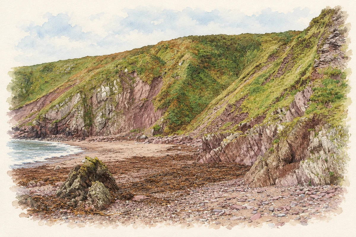
- Ballymacart Cove, near Ballymacart illustration: based on a Cliffs at Ballymacart Cove - looking west by ethics girl. AI-assisted watercolour and ink adaptation; cream paper margins added, incidental clutter omitted and fine details simplified. Licence: CC BY-SA 2.0.

Name record retrieved 2026-10-25 · Source record modified 2011-06-28. How this page was prepared.