 placenames
Artrea
Ard Tré
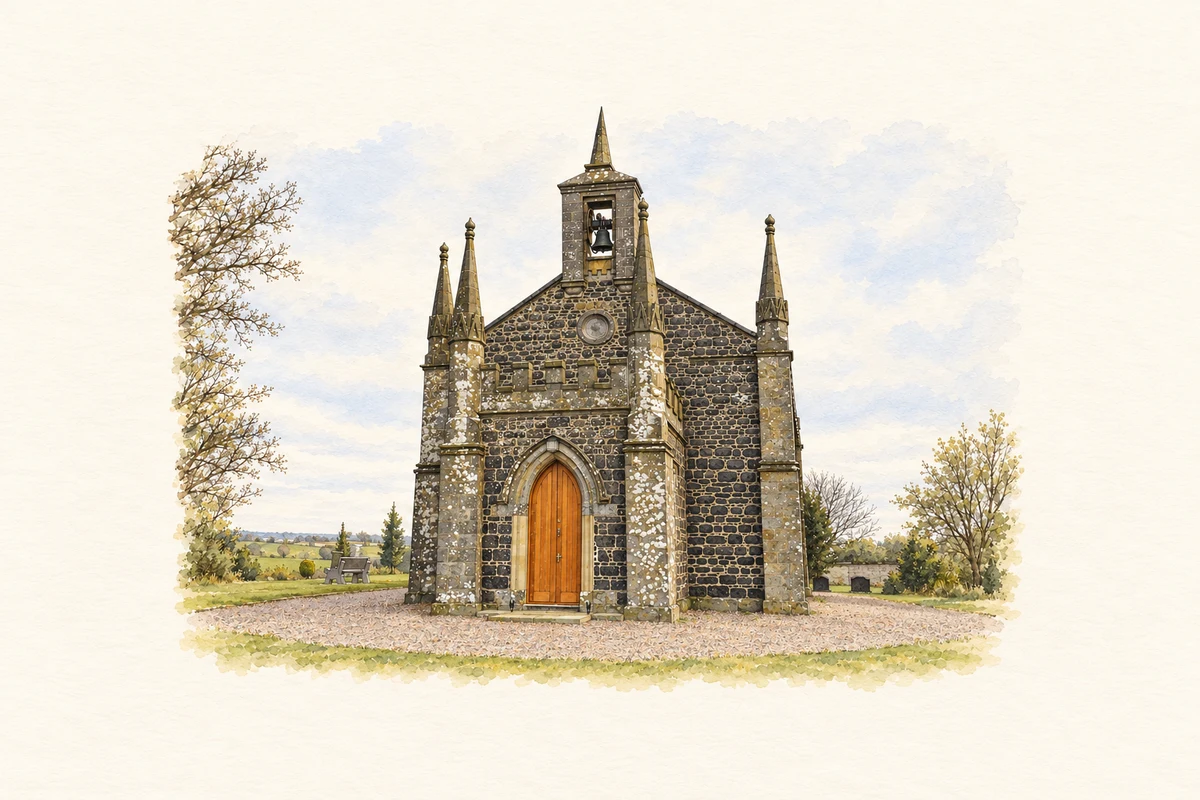
Artrea’s church and rectory connect a small Tyrone settlement with a wider parish and the early career of Edward Hincks.
The name
These Irish name elements are associated with this record in the Logainm glossary.
An element’s translation is a clue, rather than a complete explanation of the name. Its form and meaning depend on local history and the full Irish name.
Recorded forms
- Ard Tré · Irish · main form · validated name
- Artrea · English · main form
Place & story
The church described in 1837
Samuel Lewis recorded a new parish church at Artrea in 1830, standing near the earlier church site. Its elevated position and carefully designed entrance drew his attention. He also described the substantial freestone glebe-house built during Thomas Elrington's incumbency, supported by the Board of First Fruits. The church and rectory formed the institutional centre of a parish extending well beyond the immediate settlement and across the county boundary. [2]
Farming and linen across the parish
Lewis's account describes Artrea's wider parish as combining cultivated farmland with sizeable areas of bog. Many farmers also wove linen for neighbouring markets, and an extensive bleach-green had been repaired and returned to work. His description places textile production alongside agriculture rather than in a separate factory economy. The parish's roads and its connections with Moneymore and Ballyronan linked these dispersed households to markets around Lough Neagh. [2]
Edward Hincks at Artrea
Edward Hincks became rector of Artrea in 1819 after his years as a student and fellow of Trinity College Dublin. He remained until moving to Killyleagh in March 1826. Hincks later became a major contributor to the decipherment of Mesopotamian cuneiform. His local association is a defined period of clerical service before those better-known publications, linking Artrea with the early career of an important nineteenth-century scholar. [3]
Geographic information
- Place type
- Population centre
- County
- Tyrone
- Barony
- Dungannon Upper
- Coordinates
- 54.62496, -6.68383 (approximate)
- Logainm ID
- 1411772 ↗
Sources & further reading
- Logainm.ie — Artrea. Place names and geographic record, licensed under CC BY 4.0.
- Ardtrea or Artrea, A Topographical Dictionary of Ireland (1837) · Samuel Lewis; historical text transcribed by Library Ireland
- Hincks, Edward: biographical chronology · Kevin J. Cathcart, Dictionary of Irish Biography
- Saint Andrew's Church, Ardtrea, County Tyrone illustration: based on a St Andrew's Parish Church,Ardtrea by Henry Clark. AI-assisted watercolour and ink adaptation; cream paper margins added, incidental clutter omitted and fine details simplified. Licence: CC BY-SA 2.0.
Name record retrieved 2026-10-25 · Source record modified 2018-09-18. How this page was prepared.