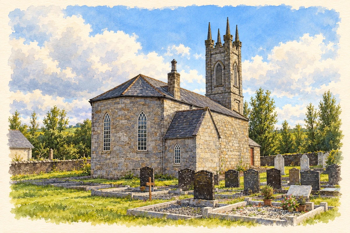
Kildavin’s church history includes improvements paid for through family seating, while the village’s public spaces preserve both ancestral connections and a former ball alley.
Illustration, St Paul's Church, Kildavin
⊕Recorded locationKildavin52.68435° N · 6.68509° WInteractive map supplied by OpenStreetMap.
These Irish name elements are associated with this record in the Logainm glossary.
An element’s translation is a clue, rather than a complete explanation of the name. Its form and meaning depend on local history and the full Irish name.
Recorded forms
Cill Damháin· Irish · main form · validated name
Kildavin· English · main form
Place & story
Improving Saint Lazerian’s
Saint Lazerian’s stands on a hill above Kildavin. The local community’s church history dates it to about 1830 and describes a relatively plain building: in 1860 it still had a mud floor and no seats. Fr Dunne arranged for stone flooring and improved seating, raising money by selling family places to wealthier parishioners. The account records a price starting at £7. These changes offer a concrete glimpse of how an established chapel was furnished and financed in the nineteenth century.[2]
People & connections
Cardinal Spellman’s ancestral association
Cardinal Francis Spellman of New York is remembered in Kildavin through the graves of his grandmother and other ancestors at Saint Lazerian’s. The local church account identifies that burial connection, while the community’s wider history preserves his name in Spellman Hall and the GAA grounds. His association with the village is therefore an ancestral and commemorative one. The hall and sporting complex brought that connection into everyday communal life, beyond the family memorials in the churchyard.[2][3]
A garden on the ball-alley site
The village garden occupies the site of Kildavin’s former ball alley beside the Church of Ireland church. Carlow Tourism records the use of local granite alongside willow and shrub planting intended to support wildlife. Nearby, the South Leinster Way begins its long-distance route towards the Blackstairs and onward through south Leinster. The garden gives a former recreational site another communal use, while the trailhead connects the village’s streetscape with the mountain landscape beyond it.[4]
Both counts use the 2016 settlement boundary, allowing like-for-like comparison. CSO supplies the 2022 count on this older boundary for comparison only. The official 2022 Built Up Area has different boundaries.
View population figures
Kildavin — Census 2016 settlement footprint — census population
These are the historical areas published in the 2006 census report. Boundaries may differ between censuses and from modern settlements. Legal towns, environs and suburbs are shown separately; none has been combined into a modern settlement total.
View population figures
Kildavin, Carlow — Census town, CSO 2006 report — census population
These figures use different area definitions. Read the boundary note before comparing them.
Kildavin, Carlow
Published census settlement populations
184people · 2016
Settlement boundaries changed during this period. Differences may reflect boundary changes as well as population change. Where a 2011 legal-town-and-environs count is shown, it has not been recalculated onto the 2016 settlement boundary.
 placenames